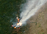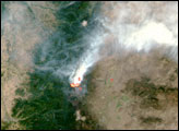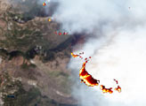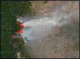

The area of central Oregon involved in the Booth and Bear Butte Complex Fire had increased to more than 50,000 acres as of September 2, 2003. The two fires are burning through heavy, old growth forest as well as regenerating mixed conifer forest. Other fuel for the blazes includes dead timber killed by insect infestations. Wilderness areas and campgrounds in the region have been closed to the public and State Highway 20 has been closed off and on due to encroaching flames and thick smoke.
This image of the area around Mt. Jefferson (snow-covered at top center) from August 27, 2003, shows the blanket of smoke from the fires hovering over the Cascade Mountains. The image was captured by the MASTER sensor—an aircraft-based simulator for the Moderate Resolution Imaging Spectroradiometer (MODIS) and the Advanced Spaceborne Thermal Emission and Reflection Radiometer (ASTER) on the Terra satellite. The thermal data of the active fire locations that were collected by the sensor have been color-coded in shades from black (coolest parts of the fire) to yellow (warmer) to red (hottest). The sensor was being flown onboard the JSC WB-57 airplane as part of a separate science experiment near Lake Tahoe, and took the opportunity to capture this image while in the area.
Image by Jesse Allen, based on data from the MASTER Team.
On September 4, 2003, the Terra MODIS sensor captured this image of the B & B Complex Fire, which was very active that day.


