
On July 30, 2003, fires continued to burn in Glacier National Park in northwest Montana (center). This Moderate Resolution Imaging Spectroradiometer (MODIS) image from the Aqua satellite shows the actively burning sections of the Robert Fire (first cluster of red dots north of Flathead Lake), the Trapper Creek Fire (to the north of Robert), and the Wedge Canyon Fire (just south of the Montana-Alberta border). In Alberta, MODIS also detected active fire locations associated with the Lost Creek Fire. To the southeast of Flathead Lake is the Little Salmon Creek Fire.
The high-resolution image provided above is 500 meters per pixel. The MODIS Rapid Response System provides this image at MODIS’ maximum spatial resolution of 250 meters.
Image courtesy Jacques Descloitres, MODIS Rapid Response Team at NASA GSFC
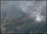
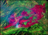
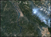
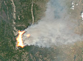
These high-resolution Advanced Land Imager images from July 29, 2003, show the Wedge Canyon Fire near Glacier National Park, Montana.


