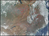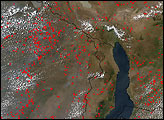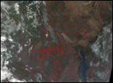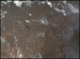

The southern Africa burning season continues into late September. This true-color image from the Moderate Resolution Imaging Spectroradiometer (MODIS) on NASA’s Terra satellite was acquired on September 25, 2002, and shows fire detections marked with red dots. The center of the image is located roughly on the Makgadikgadi Salt Pans in east-central Botswana; the shallow salt basins stand out brightly just south of image center. To the northwest is the broomstick-shaped Okavango River Delta. Fires are scattered across Botswana (left) and Zimbabwe (right), with especially smoky skies in the lower right corner.
Image by Jesse Allen, based on data from the MODIS Rapid Response Team at NASA-GSFC
Hundreds of fires were burning in several central and southern African countries during the annual burning season. These images show fires scattered across Democratic Republic of Congo, Tanzania, Angola, and Zambia from late July and into September 2002.


