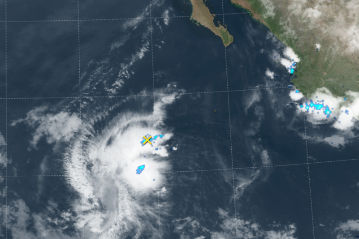
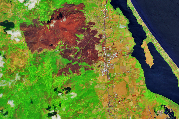
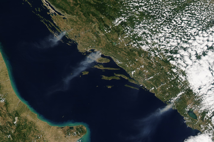
The Earth Observatory has published its last Image of the Day on this website. Please join us on our new home at science.nasa.gov/earth/earth-observatory.
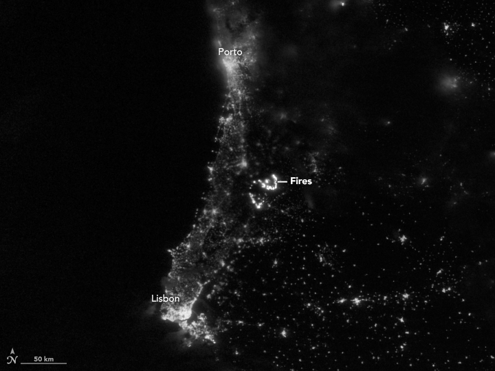
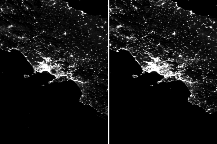
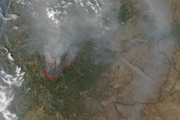
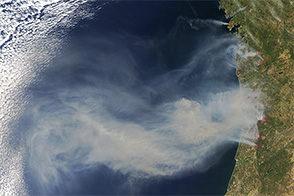
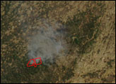
On June 17, 2017, lightning reportedly ignited a deadly wildfire that spread across the mountainous areas of Pedrógão Grande—a municipality in central Portugal located about 160 kilometers (100 miles) northeast of Lisbon. The Moderate Resolution Imaging Spectroradiometer (MODIS) on NASA’s Terra satellite captured a daytime image of smoke billowing northward from areas of active burning on June 18. The following night the blaze continued to burn so bright that it was visible from space.
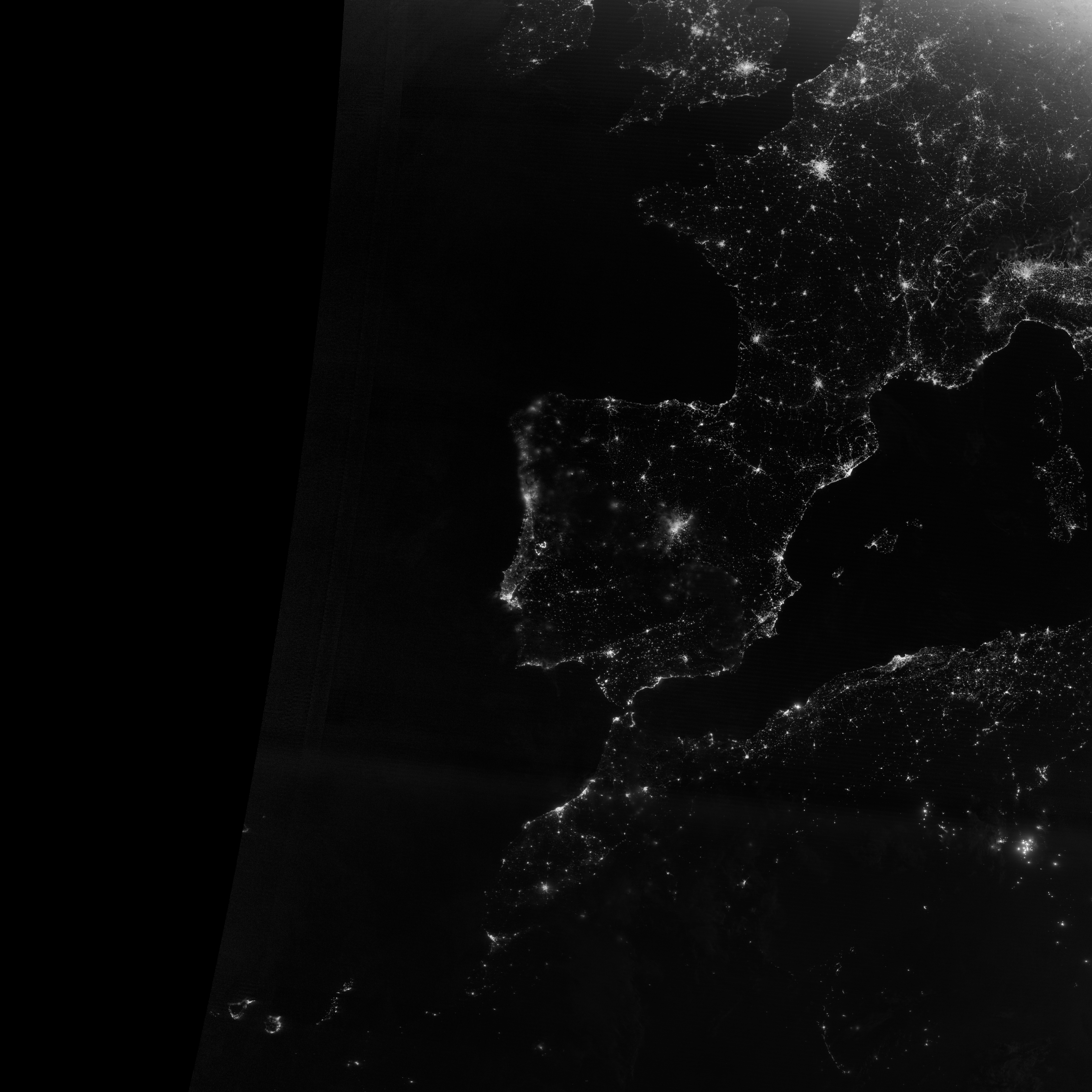
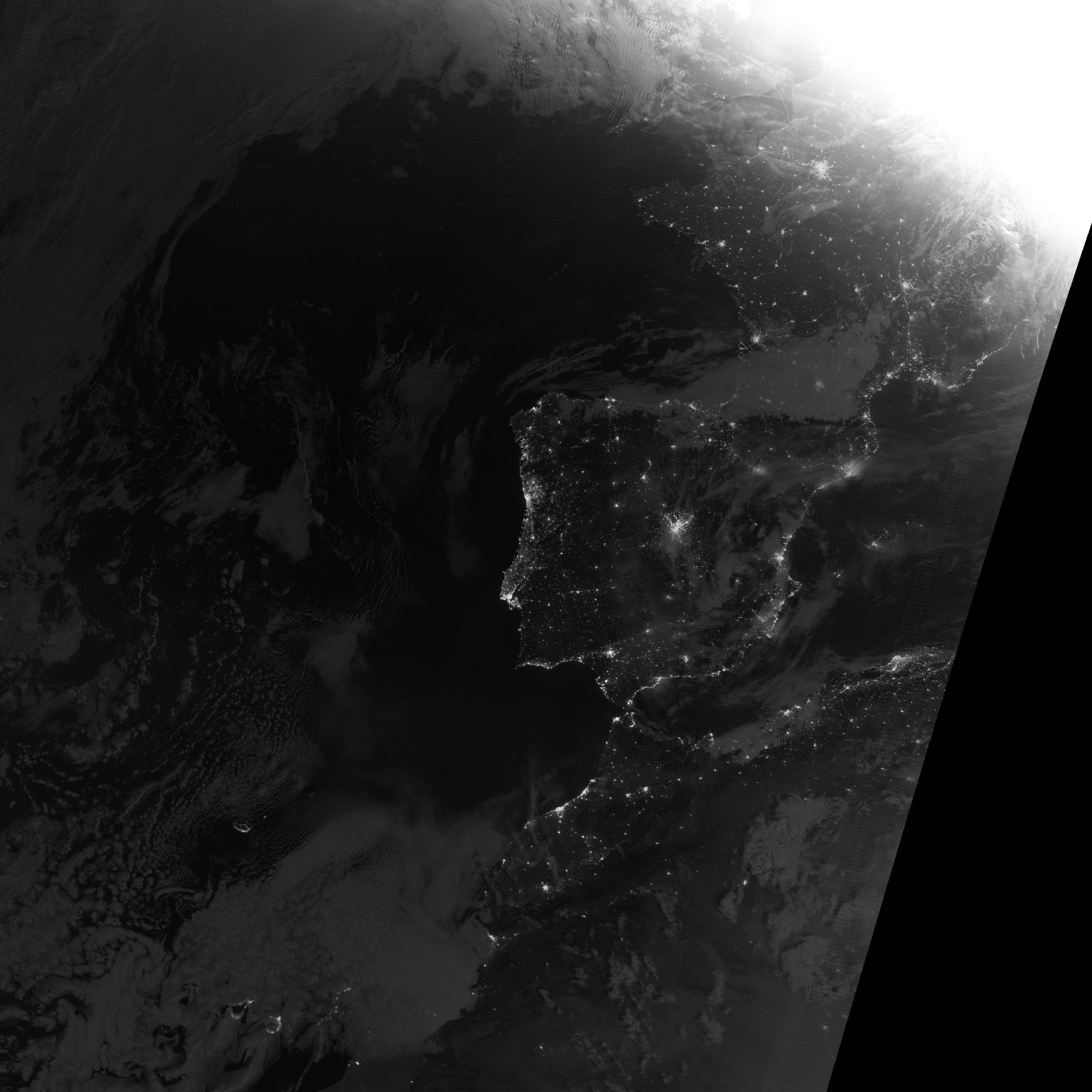
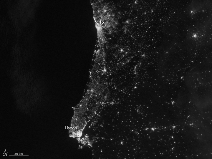
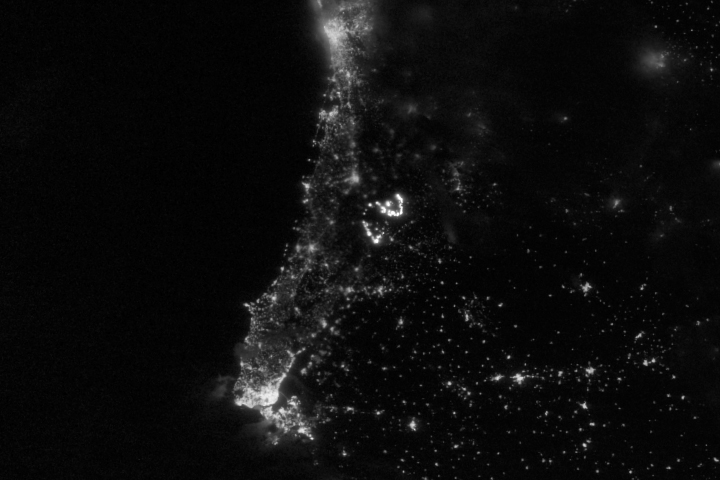
The Visible Infrared Imaging Radiometer Suite (VIIRS) on the Suomi NPP satellite captured a nighttime image of the fire at 2:48 a.m. local time (01:48 Universal Time) on June 19, 2017 (top). For comparison, the second image shows the same area in the predawn hours of June 16. Turn on the image-comparison tool to see the fires brighten the rural landscape between the urban areas. Note that some differences in brightness and sharpness are due to the presence of more cloud cover in the June 19 image. The fire was imaged by a special “day-night band” that detects light in a range of wavelengths from green to near-infrared and uses light intensification to detect dim signals.
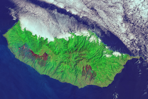
Fires across Portugal’s forested landscape during the warm, dry summer months are not uncommon. In 2016, hundreds of fires raged on the mainland and also on the Portuguese island of Madeira. The high death toll associated with this week’s fire, however, led The New York Times and other media to report it as “Portugal’s worst forest fire in more than half a century.”
NASA Earth Observatory image by Jesse Allen, using VIIRS day-night band data from the Suomi National Polar-orbiting Partnership. Story by Kathryn Hansen.


