The Earth Observatory has published its last Image of the Day on this website. Please join us on our new home at science.nasa.gov/earth/earth-observatory.
Space Measurements
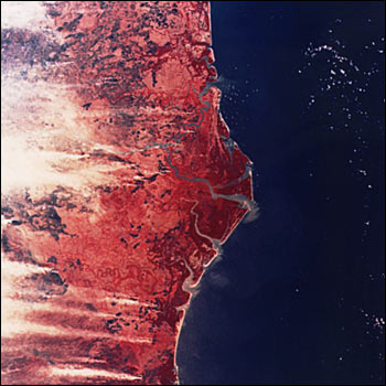
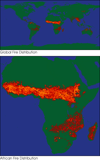
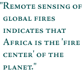
The only way to accurately determine the exact location and extent of fires is to have a global perspective from space, making space-based measurements extremely important. Since no satellite has ever been dedicated to fire monitoring and measuring, most observations of fires from space are obtained from existing satellites developed for other purposes. Astronauts also photograph fires from the Space Shuttle (Fig. 2). Fire measurements come from the Defense Meteorological Satellite Program (DMSP) satel-lites and the Advanced Very High Resolution Radiometer (AVHRR) on the National Oceanic and Atmospheric Administration (NOAA) satellites. DMSP nighttime images provide information about the location and frequency of active fires, while AVHRR satellites can help determine the size of the area burned. Remote sensing of global fires indicates that Africa is the "fire center" of the planet with more biomass consumed by fire in Africa than anywhere else on Earth.
next: Future Research
|
Biomass Burning
|