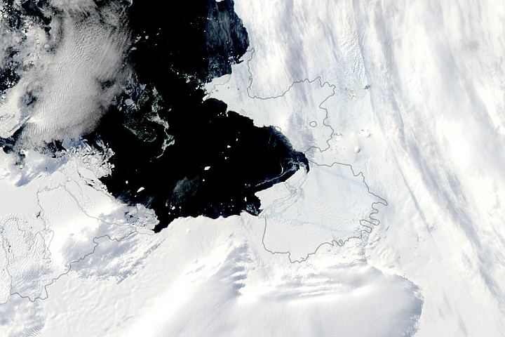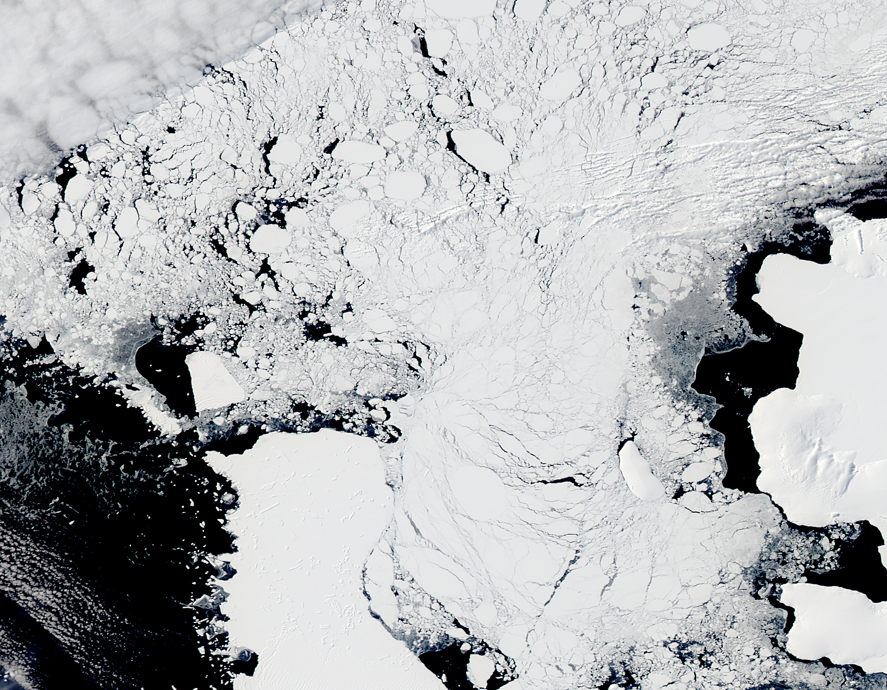
Winter has lifted from Antarctica’s Pine Island Bay, bathing the area in summer sun. As a result, overpassing satellites can once again acquire sunlit views of massive iceberg B31 as it drifts in the Amundsen Sea.
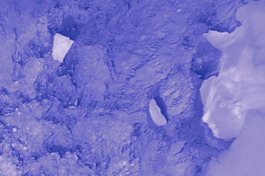
In early November 2013, the giant iceberg separated from the front of Antarctica’s Pine Island Glacier and began to move across Pine Island Bay, a basin of the Amundsen Sea.
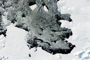
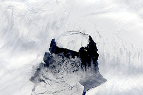
Since the iceberg’s initial separation, NASA Earth Observatory has posted several images showing its journey up until March 11, 2014. The U.S. National Ice Center (NIC) reported that the size of B31 a did not change much between December 2013 and April 2014.
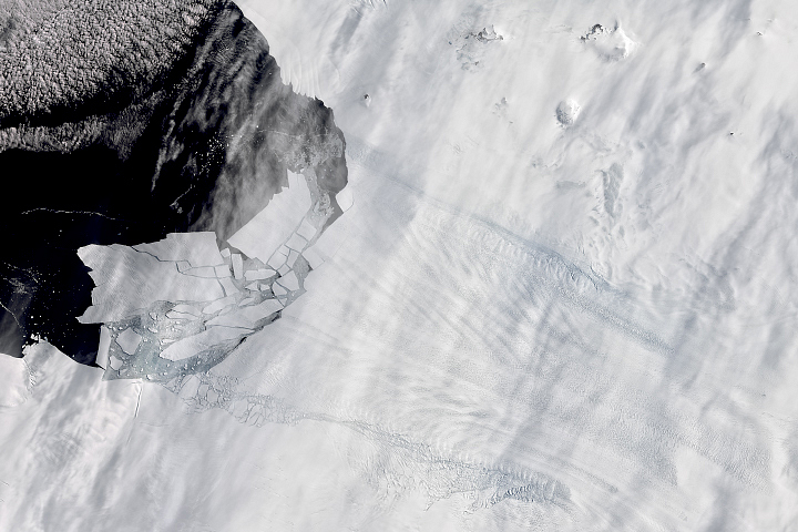
Earth Observatory's first look (above) at B31 following the Southern Hemisphere winter was acquired by the Moderate Resolution Imaging Spectroradiometer (MODIS) on the Aqua satellite on November 22, 2014. By that date, B31 had moved west in the Amundsen Sea and was free of surrounding debris and sea ice. Scientists expect that the berg will continue moving west.
The surface area of B31 remained stable through the winter, according to measurements from the NIC. As of November 21, 2014, the berg still measured 33 kilometers long and 20 kilometers wide (18 by 11 nautical miles). For comparison, it measured about 35 kilometers by 20 kilometers (19 by 11 nautical miles) soon after it separated from Pine Island Glacier.
Icebergs of this size are irregular but not infrequent in Antarctica, noted University of Sheffield geographer Grant Bigg in a recent article about B31. In fact, the Southern Ocean routinely has between 30-40 icebergs that are larger than 18 kilometers (10 nautical miles) long.
Still, scientists and others will track the trajectory of B31 closely as it enters the Southern Ocean. Maritime agencies, in particular, track icebergs because of the danger they can pose to ships.
NASA image by Jeff Schmaltz, LANCE/EOSDIS Rapid Response. Caption by Kathryn Hansen.