The Earth Observatory has published its last Image of the Day on this website. Please join us on our new home at science.nasa.gov/earth/earth-observatory.
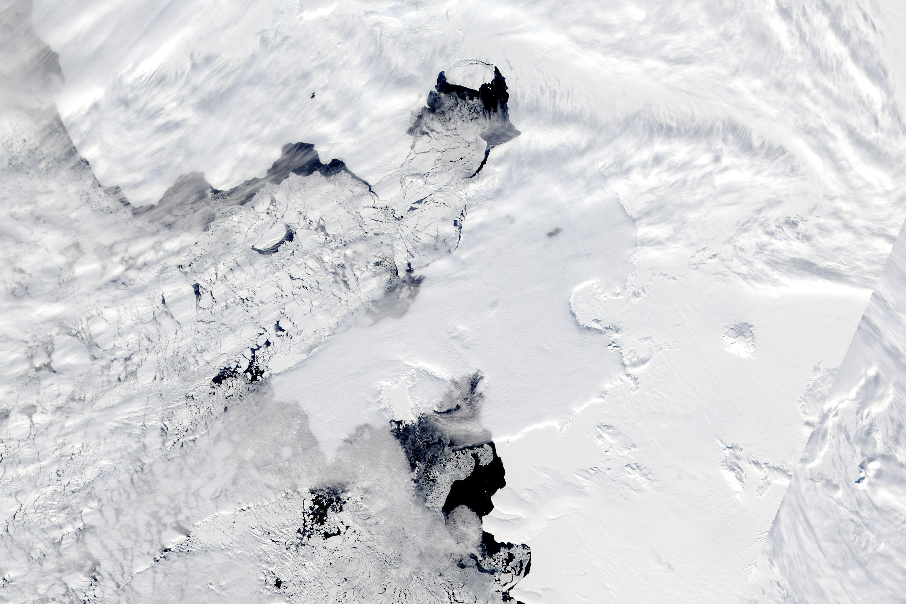
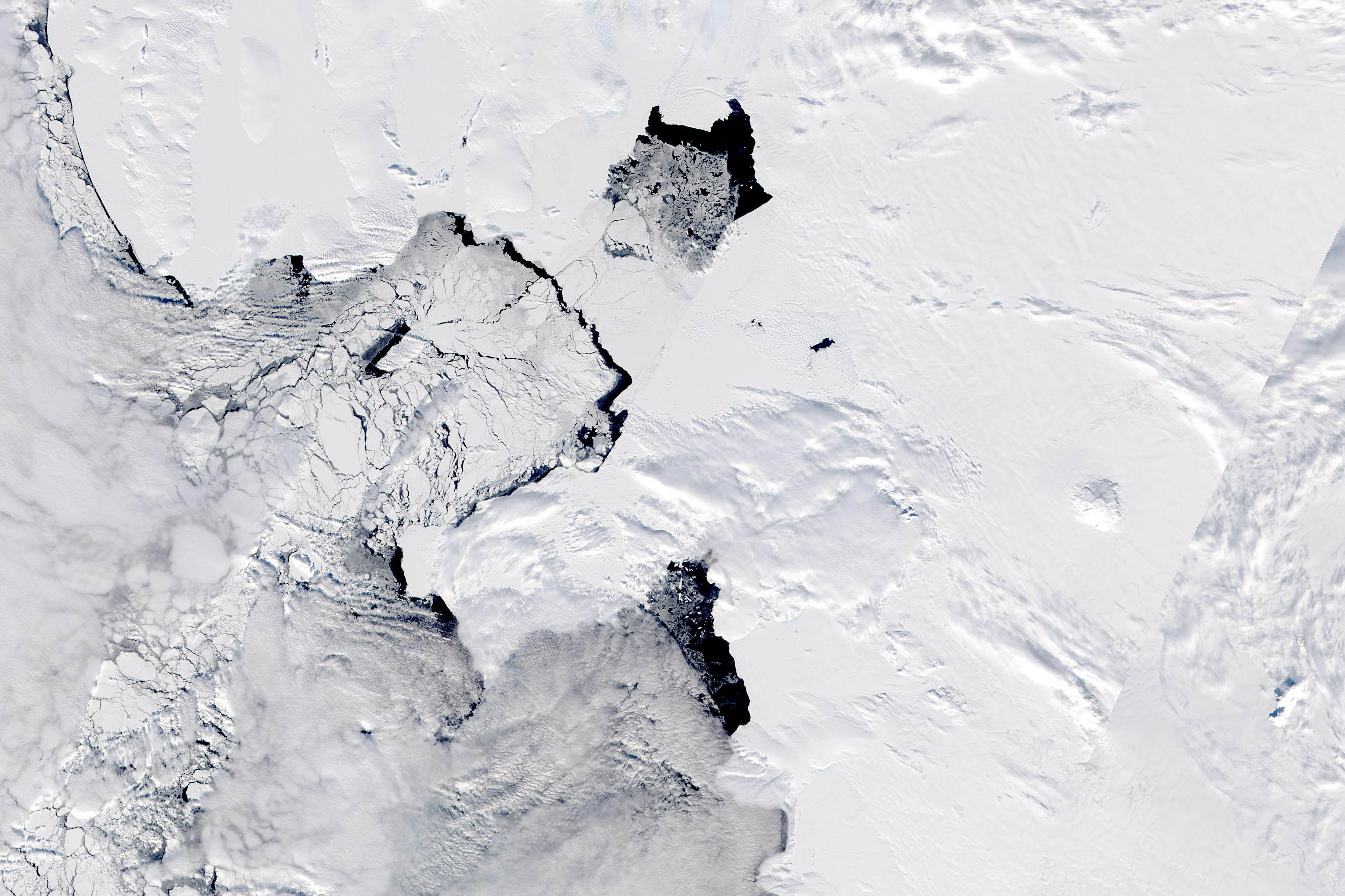
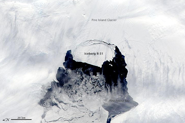

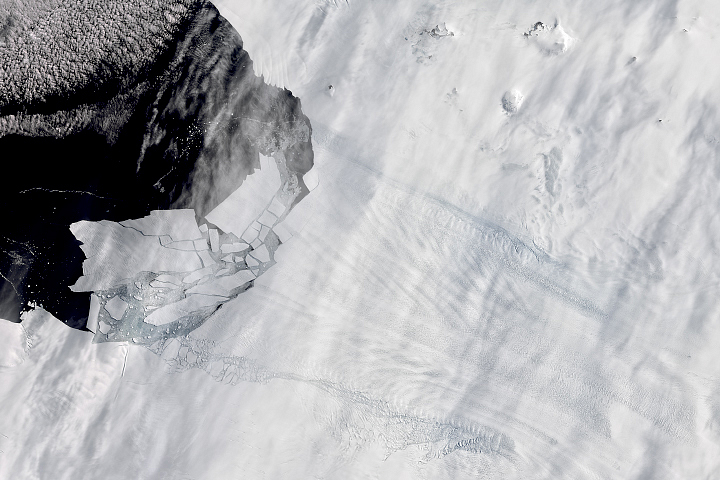
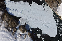
Between November 9–11, 2013, a large iceberg separated from the calving front of Antarctica’s Pine Island Glacier. Scientists first detected a rift in the glacier in October 2011. By July 2013, infrared and radar images showed that the crack had cut completely across the ice shelf. New satellite images now show that Iceberg B-31 is finally moving away from the coast.
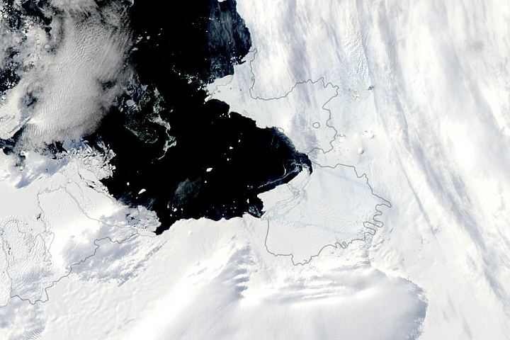
The Moderate Resolution Imaging Spectroradiometer (MODIS) on NASA’s Aqua satellite acquired these natural color images of Pine Island Glacier on November 10 (top) and November 3, 2013. Dubbed B-31 by the U.S. National Ice Center, the new iceberg is estimated to be 35 kilometers by 20 kilometers (21 by 12 miles), roughly the size of Singapore. A team of scientists from Sheffield and Southampton universities will track the 700 square-kilometer chunk of ice and try to predict its path using satellite data.
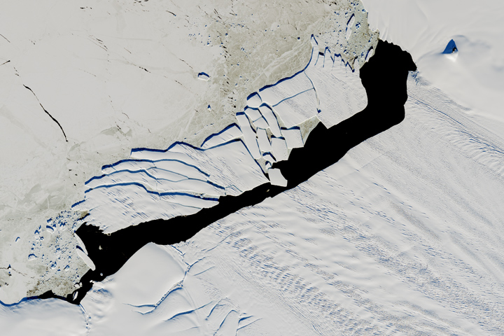
Click here for a closer view of the iceberg on November 13, when it had moved farther out into Pine Island Bay.NASA image by Adam Voiland, Earth Observatory, and Jeff Schmaltz, LANCE/EOSDIS Rapid Response. Caption by Mike Carlowicz.