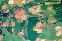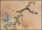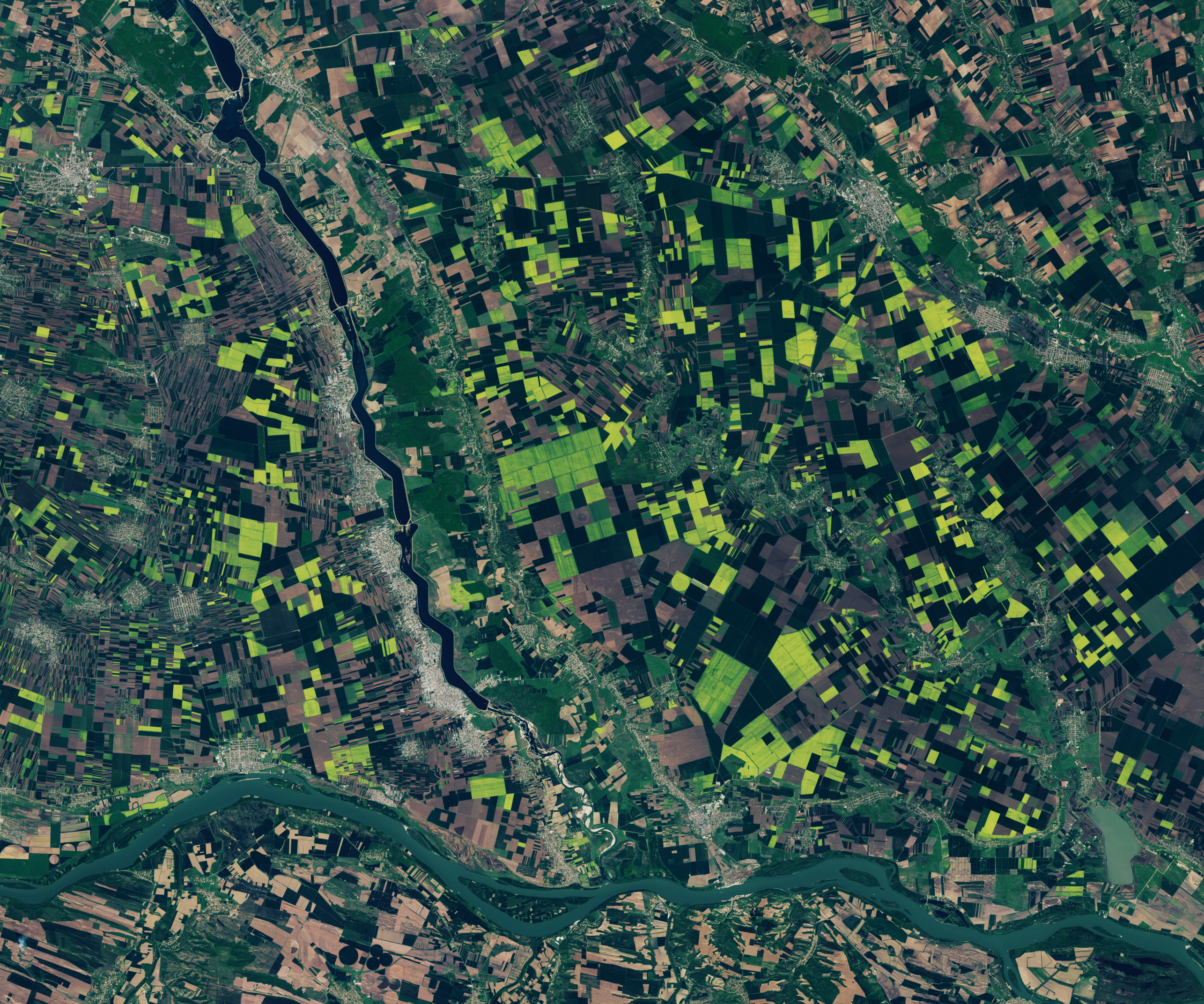
Green agricultural fields in southern Romania became tinged with yellow as rows upon rows of what appear to be rapeseed or canola plants bloomed. The OLI (Operational Land Imager) on the Landsat 8 satellite captured these pops of color near the confluence of the Olt and Danube rivers on April 12, 2024.
Rapeseed and canola plants are part of the Brassica family, which also includes cabbages and mustards. They produce clusters of small, brilliant yellow blooms that, en masse, blanket entire fields in gold.
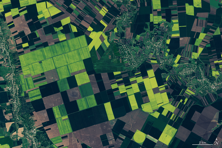
The yellow flowers develop into slender pods resembling pea pods containing small, oil-rich seeds. When extracted, the oil is used in a variety of chemical, biofuel, food, and other industry applications. Canola oil, commonly used in cooking, is derived from a rapeseed cultivar bred to have a low acid content.
In a typical year, Romania produces 10 percent of the European Union’s grain and oilseed, according to the International Trade Commission. In addition to rapeseeds, Romania’s main crops include sunflowers and soybeans, as well as corn, wheat, and barley. Its annual oilseed production is sensitive to drought and heat and has undergone significant swings in recent years.
While the E.U. as a whole produced 23 percent of the world’s rapeseed in 2023, Canada and China top the list of the largest rapeseed and canola producing countries, generating 21 and 17 percent, respectively, that year. Satellites have captured images of expansive flowering fields in both countries. Canada’s season of yellow blooms occurs later in the year than the E.U.’s, while China’s takes place earlier.
NASA Earth Observatory images by Lauren Dauphin, using Landsat data from the U.S. Geological Survey. Story by Lindsey Doermann.