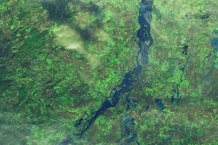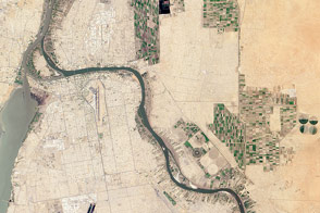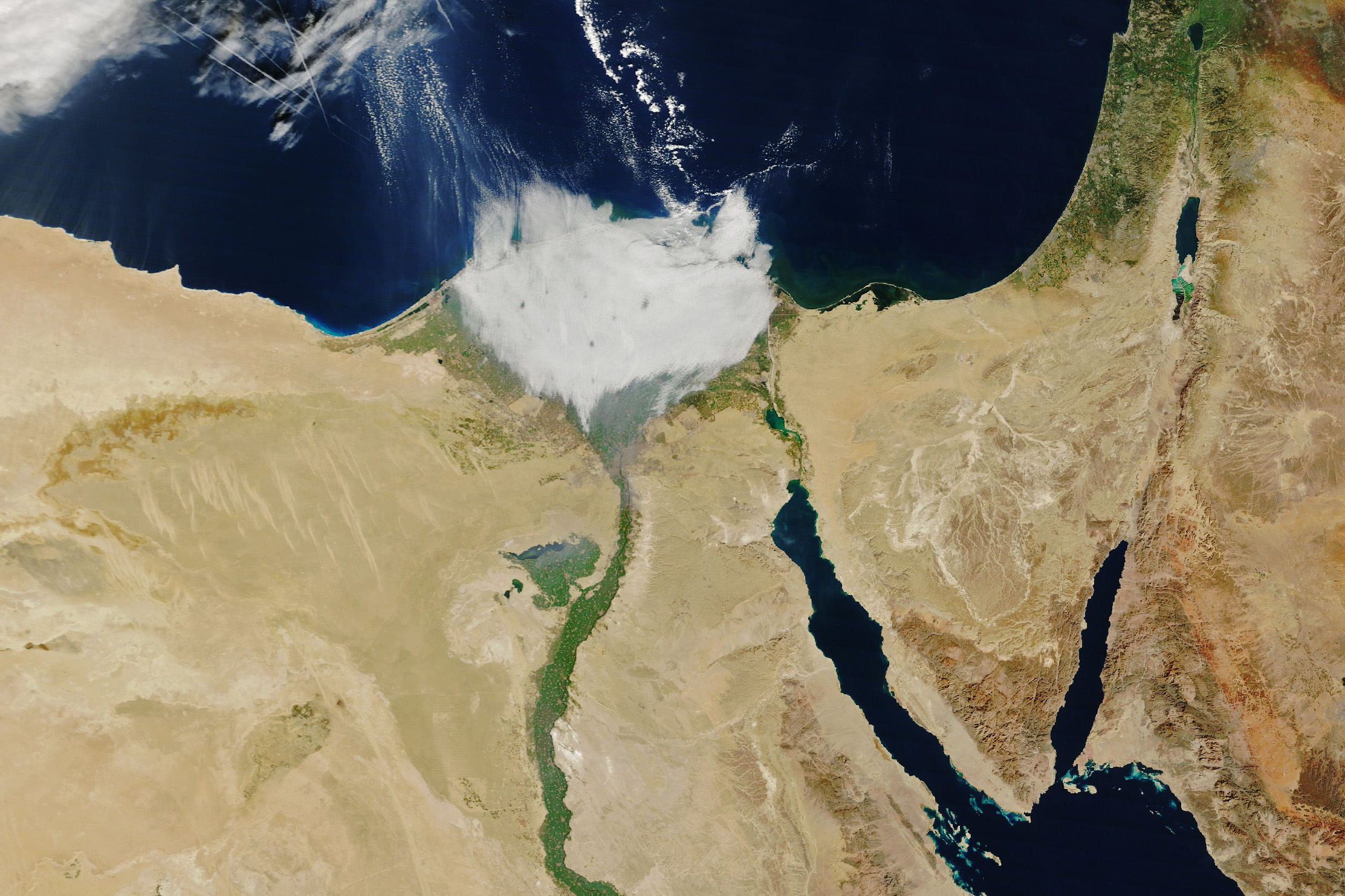
In satellite images, the Nile Delta in northern Egypt usually looks like a lush green flower blooming amidst the browns of the surrounding desert.
But when the MODIS (Moderate Resolution Imaging Spectroradiometer) on NASA’s Terra satellite passed over the feature on the morning of January 7, 2024, the delta was blanketed with a layer of low clouds, making it look more like a tuft of cotton.
The delta’s fertile soils support an array of crops including rice, cotton, and corn. However, farmland is in short supply in this water-scarce region as Egypt’s population swells and farmers compete with the growth of towns and cities for land.
Fog most commonly forms over the delta in the fall and winter. The Borg El Arab International Airport, near Alexandria, measured fog on about 10 percent of days in November, December, and January, according to data collected over 20 years by researchers from Al Azhar University in Cairo. Winter fog over the delta typically forms in the morning and can last for several hours. It usually develops when winds are weak, relative humidity is high, and temperatures are between 10 and 15 degrees Celsius (50 and 60 degrees Fahrenheit).
While fog harvesting is not yet widespread in Egypt, some researchers have experimented with the technology, noting that it could be useful in this water-scarce region. Fog harvesting typically involves the use of a mesh net stabilized between two posts that captures drops of freshwater as winds push fog through it.
NASA Earth Observatory image by Wanmei Liang, using MODIS data from NASA EOSDIS LANCE and GIBS/Worldview. Story by Adam Voiland.