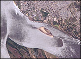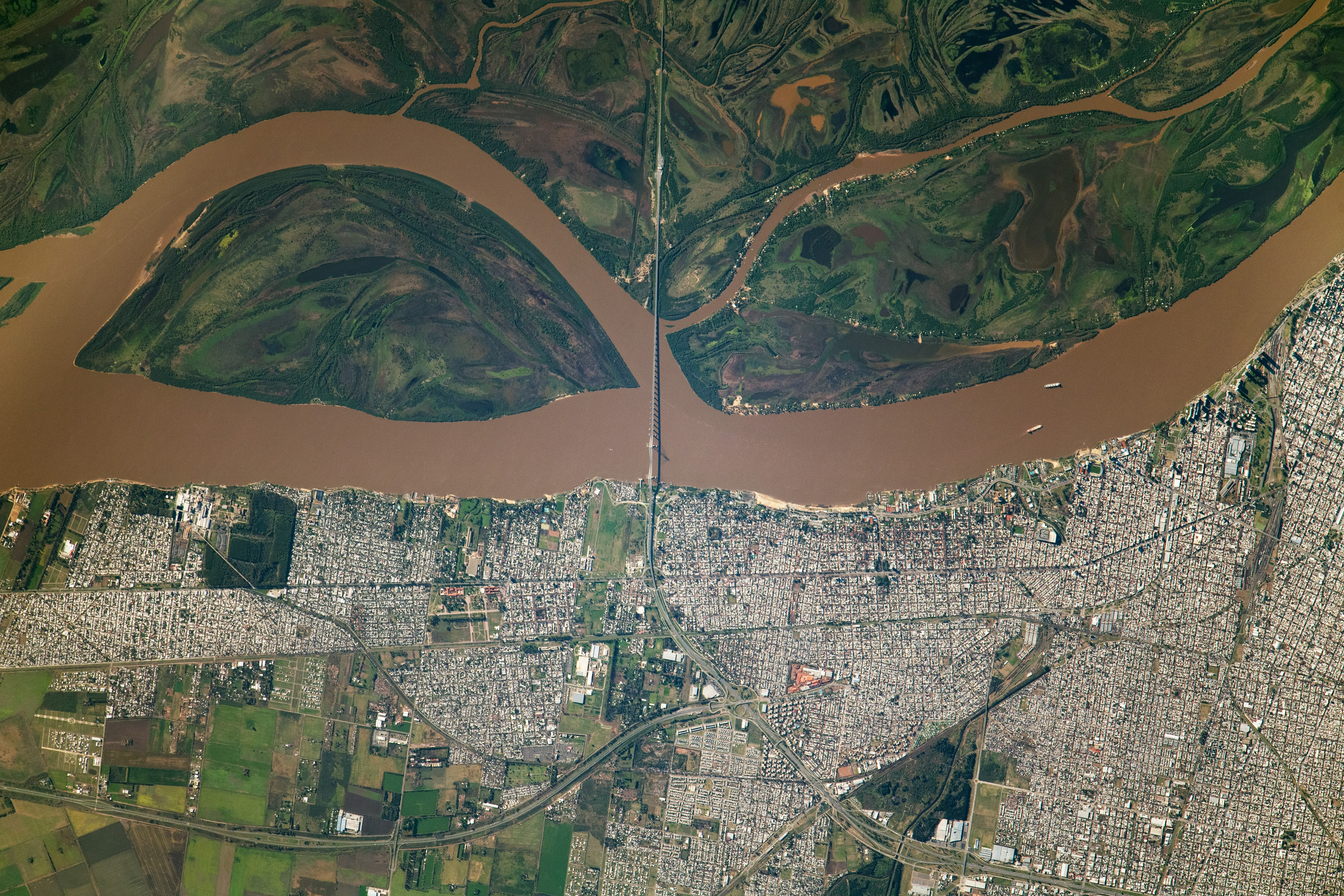
An astronaut aboard the International Space Station took this photograph of Rosario, Argentina, and the Paraná River. The meandering river bisects the image, with the city of Rosario to the west and marshlands of the Paraná floodplain to the east. The photo was taken using a long focal length lens, revealing details such as farms (lower left), city buildings, barges, and boats. The Nuestra Señora del Rosario bridge is clearly visible, as is the shadow it casts onto the water below.
The Paraná River is the second largest river in South America after the Amazon. It crosses the borders of several countries including Argentina, Uruguay, Paraguay, Bolivia, and Brazil. Its waters appear muddy and brown due to the high sediment load it carries. The island shown in the image, Isla de los Mástiles, is formed by a meander of the river.
Urban development is prominent along the banks of the Paraná. The city of Rosario plays a crucial role in a major trading route, facilitating the flow of goods across the continent between Santiago, Chile, and São Paulo, Brazil.
Astronaut photograph ISS069-E-30021 was acquired on July 7, 2023, with a Nikon D5 digital camera using a focal length of 1150 millimeters. The image was provided by the ISS Crew Earth Observations Facility and the Earth Science and Remote Sensing Unit at Johnson Space Center. The image was taken by a member of the Expedition 69 crew. It has been cropped and enhanced to improve contrast, and lens artifacts have been removed. The International Space Station Program supports the laboratory as part of the ISS National Lab to help astronauts take pictures of Earth that will be of the greatest value to scientists and the public and to make those images freely available on the Internet. Additional images taken by astronauts and cosmonauts can be viewed at the NASA/JSC Gateway to Astronaut Photography of Earth. Caption by Amber Turner/Jacobs-JETS II Contract at NASA-JSC.