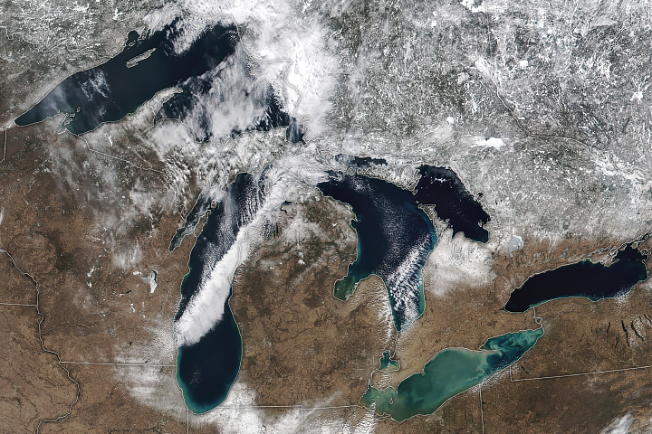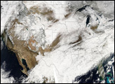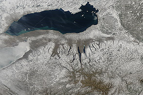
As millions of Americans traveled home after the Thanksgiving holiday, a winter storm plowed across the upper Midwest. The storm dropped rain and snow on several states and caused delays for travelers.
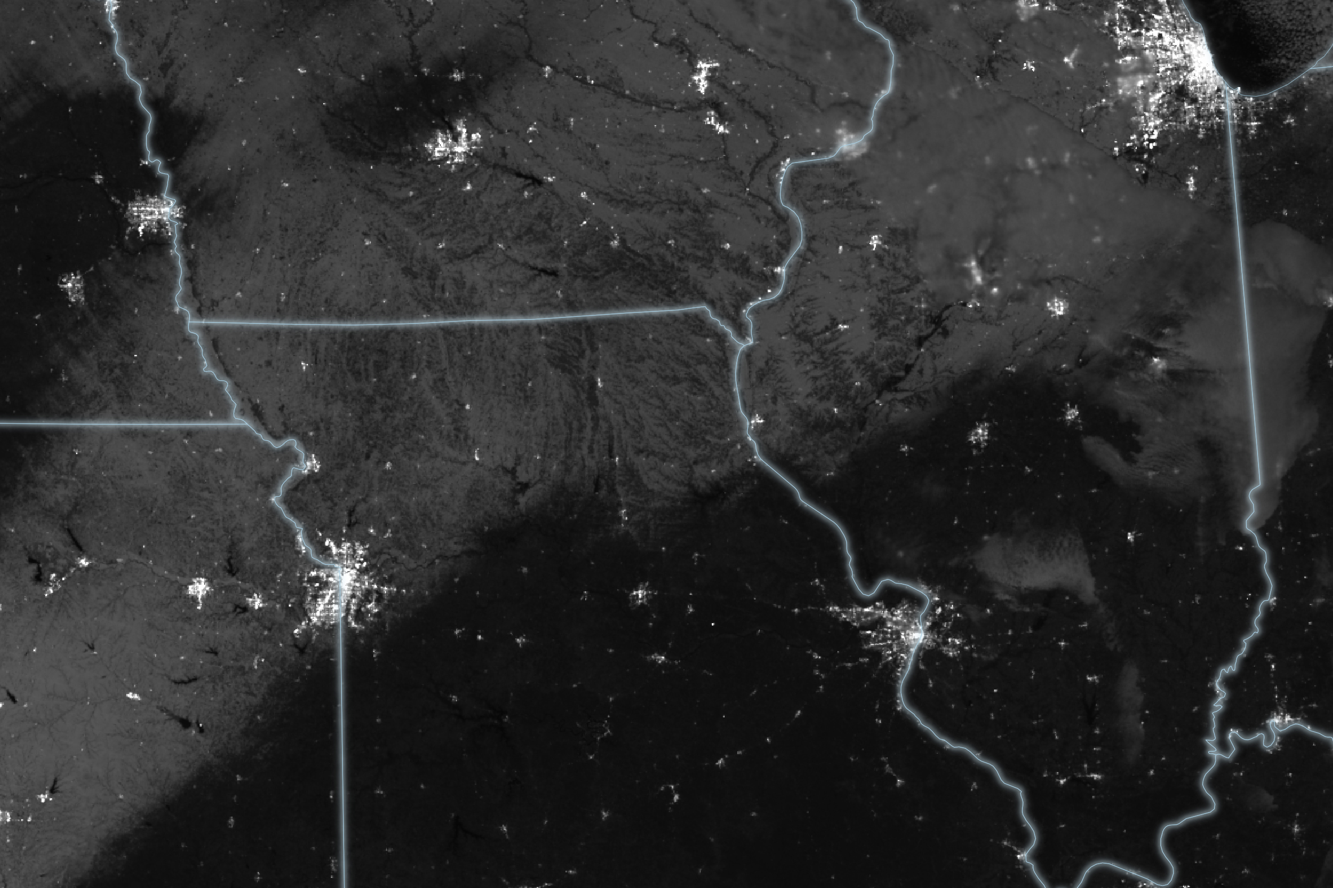
A streak of snow is visible from Kansas to Illinois in this image, acquired by the VIIRS (Visible Infrared Imaging Radiometer Suite) sensor on the Suomi NPP satellite at about 2:30 a.m. Central Time on November 27, 2023. In addition to the reflection of moonlight on the fresh snow, lights from buildings and other infrastructure stand out in the nighttime image.
Much of the snow fell on November 25 and 26, 2023. After the storm, ground-based measurements indicated that Kansas City, Missouri, received 2 inches (5 centimeters) of snow, and Trenton—80 miles (130 kilometers) to the west—received 4 inches (10 centimeters). On November 26, the storm delayed more than 900 flights at Chicago O’Hare International Airport, where nearly 2 inches fell, according to news reports.
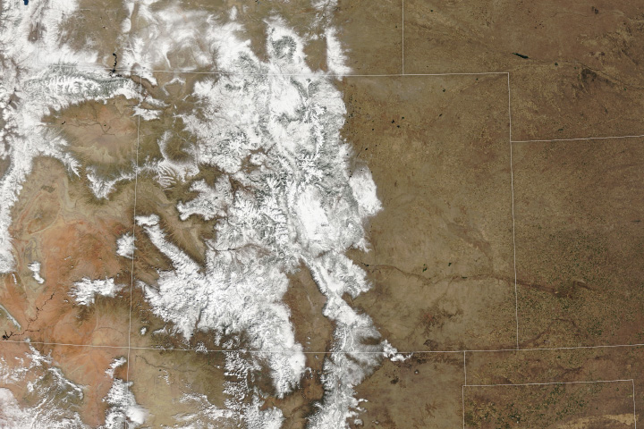
The same weather system unloaded 1-2 feet (30-60 centimeters) of snow on the Rockies on November 23 and 24. According to Weather Channel meteorologist Jonathan Erdman, more than 18 inches (46 centimeters) fell on Lander, Wyoming—almost twice the city’s average snowfall for the month of November (1991-2020).
As the low-pressure system continues to move east, it is forecast to merge with another storm in Canada and contribute lake effect snow to areas east of the Great Lakes on November 28. According to the National Weather Service, the heaviest snow is expected downwind of Lakes Erie and Ontario, where 1 to 2 feet are possible.
NASA Earth Observatory image by Lauren Dauphin, using VIIRS day-night band data from the Suomi National Polar-orbiting Partnership. Story by Emily Cassidy.