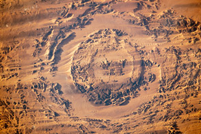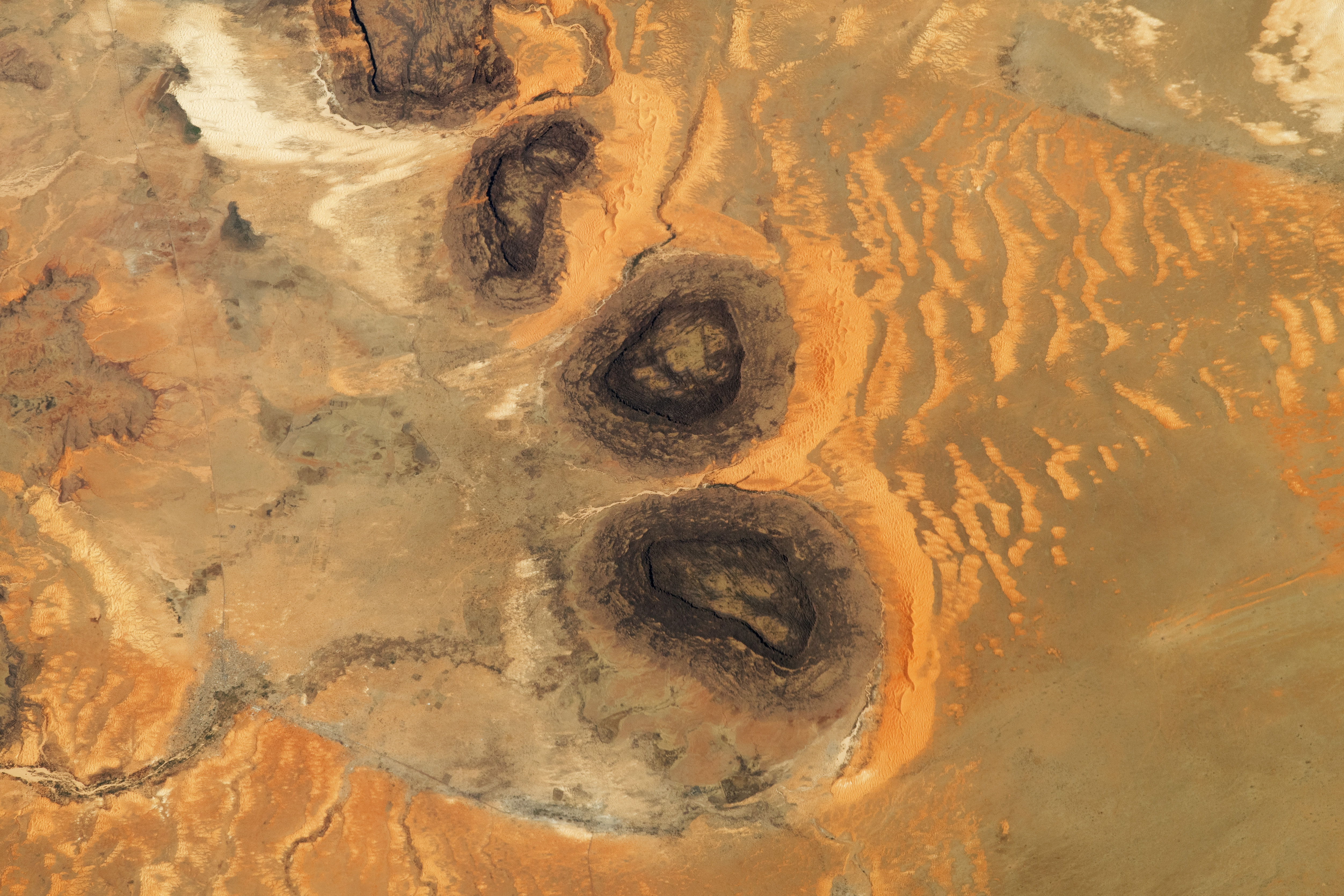
As the International Space Station orbited over the Sahara Desert in the late-afternoon of May 3, 2023, an astronaut took this photograph of hills and sand dunes in southern Mauritania. A line of dark, flat-topped hills known as mesas dominate the view. The small town of Guérou is a faint gray patch on the banks of a small stream. The faint line of a road can be seen cutting through the landscape and connecting with Guérou.
The mesas are remnants of a large Paleozoic Era sandstone formation. They rise steeply 300 to 400 meters (1,000 to 1,300 feet) above the surrounding plain. Rocky surfaces in deserts often appear dark-toned as a result of a thin layer of black rock varnish that develops on rock surfaces enriched in manganese.
Sand grains carried by the dominant winds—coming from the northeast or the right side of this image—are dropped where upwind slopes of the mesas slow wind velocity. Here the grains form yellow-to-tan-toned patches known as climbing dunes. Smaller dunes form farther away from the mesas and take on the curved shape typical of barchan dunes. Mesas influence local surface winds and sand transport, leading to barchan dune formation up to 15 kilometers (9 miles) away in the upwind direction.
Dune sand does not accumulate on the downwind side of the mesas because of a phenomenon known as wind scour. The mesas cause swirls in the wind (vortices) to form immediately downwind. Vortex winds are faster than the easterly winds and transport sand grains away from each mesa.
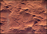
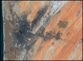
Another astronaut image, taken in 2014, shows a wider view of this photogenic part of the Sahara Desert.
Astronaut photograph ISS069-E-9197 was acquired on May 3, 2023, with a Nikon D5 digital camera using a focal length of 400 millimeters. It was provided by the ISS Crew Earth Observations Facility and the Earth Science and Remote Sensing Unit, Johnson Space Center. The image was taken by a member of the Expedition 69 crew. The image has been cropped and enhanced to improve contrast, and lens artifacts have been removed. The International Space Station Program supports the laboratory as part of the ISS National Lab to help astronauts take pictures of Earth that will be of the greatest value to scientists and the public, and to make those images freely available on the Internet. Additional images taken by astronauts and cosmonauts can be viewed at the NASA/JSC Gateway to Astronaut Photography of Earth. Caption by Justin Wilkinson, Texas State University, JETS Contract at NASA-JSC, and Susan Runco (NASA retired).