

Over the past week or two, there has been severe flooding in Australia, Brazil, Sri Lanka, and the Phillipines, but all we’ve shown on the Earth Observatory is the flooding in Australia. Why? Here’s a sampling of images of Rio de Janeiro since January 12:
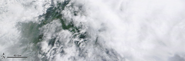
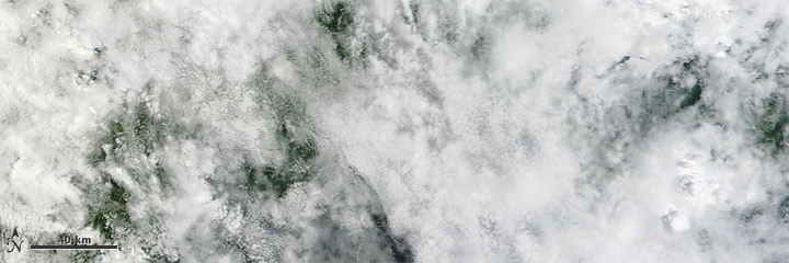
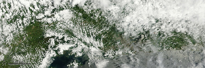
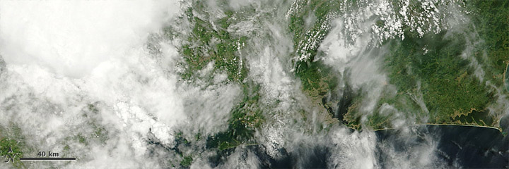
Earth is cloudy. Especially in the tropics. Even more especially when there’s enough rain to cause flooding. The satellite imagery we have easy, fast, and free access to (for example, check out the twice daily MODIS imagery of São Paulo) is primarily based on visible and infrared light, which can’t penetrate clouds, so for many floods we can’t show anything useful.
In addition, the damage in Brazil, Sri Lanka, and the Philippines was caused by flash floods, landslides, and debris flows, which are all much smaller scale than the rivers overflowing their banks near Brisbane. In satellite imaging there’s a tradeoff between spatial resolution (detail) and temporal resolution (frequency) so there are fewer opportunities to capture the high resolution data necessary to show relatively localized events. To view something like a landslide, we have to have both a break in the clouds and the opportunity to aim a high resolution sensor. Which occurred this morning:
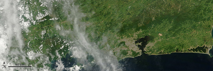
With clear skies and an overpass of Earth Observing-1, we may have an image of Teresopolis, Brazil by tomorrow.
P.S.: Despite the dispassionate view afforded by satellites, my thoughts go out to the victims and their families.
Update: For some reason the satellite never acquired the data, and the next viewing opportunity won’t be for another few days.