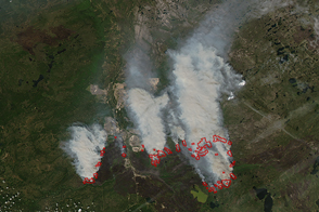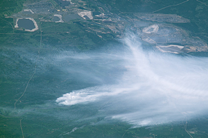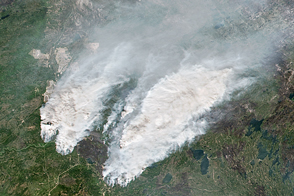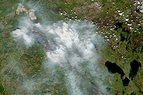

The fire that devastated Fort McMurray in the Canadian province of Alberta generated pyrocumulus clouds that lofted smoke high in the atmosphere. Winds then transported plumes of this smoke long distances. On May 8, 2016, the Visible Infrared Imaging Radiometer Suite (VIIRS) on the Suomi-NPP satellite captured an image of northwesterly winds pushing smoke over North Dakota, South Dakota, and Minnesota. The smoke triggered warnings about unhealthy air in these states.
NASA image by Jeff Schmaltz, LANCE/EOSDIS Rapid Response. Caption by Adam Voiland.
Winds pushed plumes of smoke from an intense wildfire in Alberta southeast into the Great Plains.
In early May 2016, fires broke out near Fort McMurray in Alberta, Canada.


