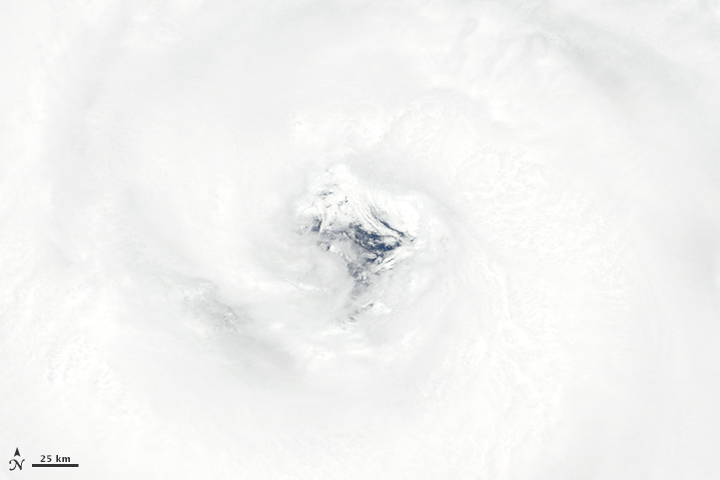


The Moderate Resolution Imaging Spectroradiometer (MODIS) on NASA’s Terra satellite acquired these images of Typhoon Nangka at about 01:20 Universal Time (10:20 a.m. Japan Standard Time) on July 15, 2015. At the time, Nangka was a Category 2 storm with maximum sustained winds of about 160 kilometers (100 miles) per hour, according to Unisys Weather.
According to news reports, winds of 130 kilometers per hour (80 miles per hour) and more than foot of rainfall could affect the Kochi and Tokushima prefectures after landfall, expected to occur overnight on July 16.
The bottom image is a close-up view of the top image from July 15, and shows the storm’s eye.
NASA image courtesy Jeff Schmaltz, LANCE/EOSDIS MODIS Rapid Response Team at NASA GSFC. Caption by Kathryn Hansen.