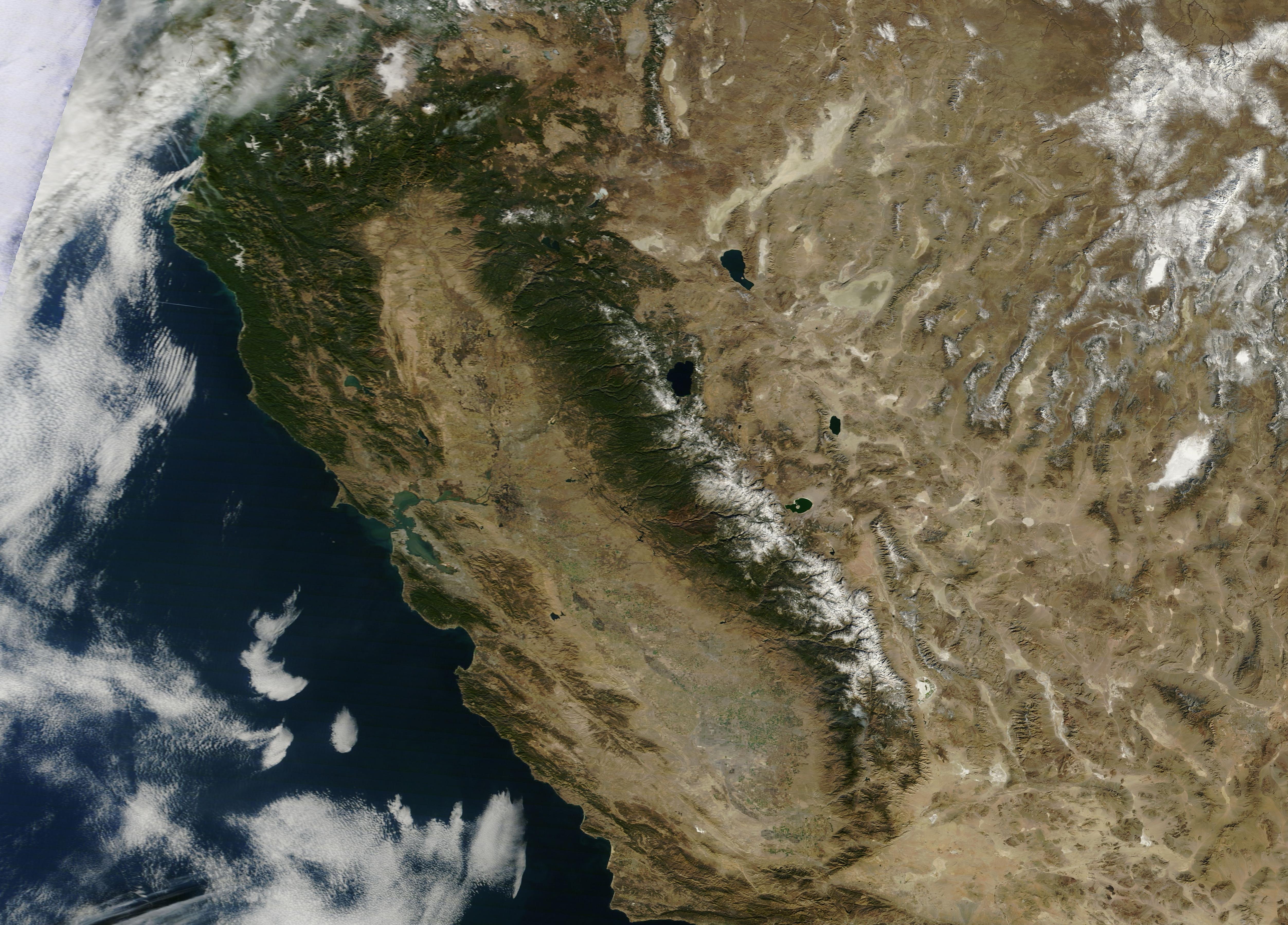
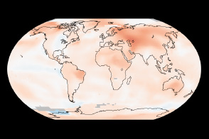
2013 was a dry year for California, but it has nothing on 2014 so far. January is on track to be California’s driest on record, and since the state receives half of its precipitation between December and February, it appears that the 2013-2014 water year could be the driest on record too. With that possibility in view, California governor, Edmund G. Brown, Jr. declared a state of emergency on January 17, urging Californians to conserve water.
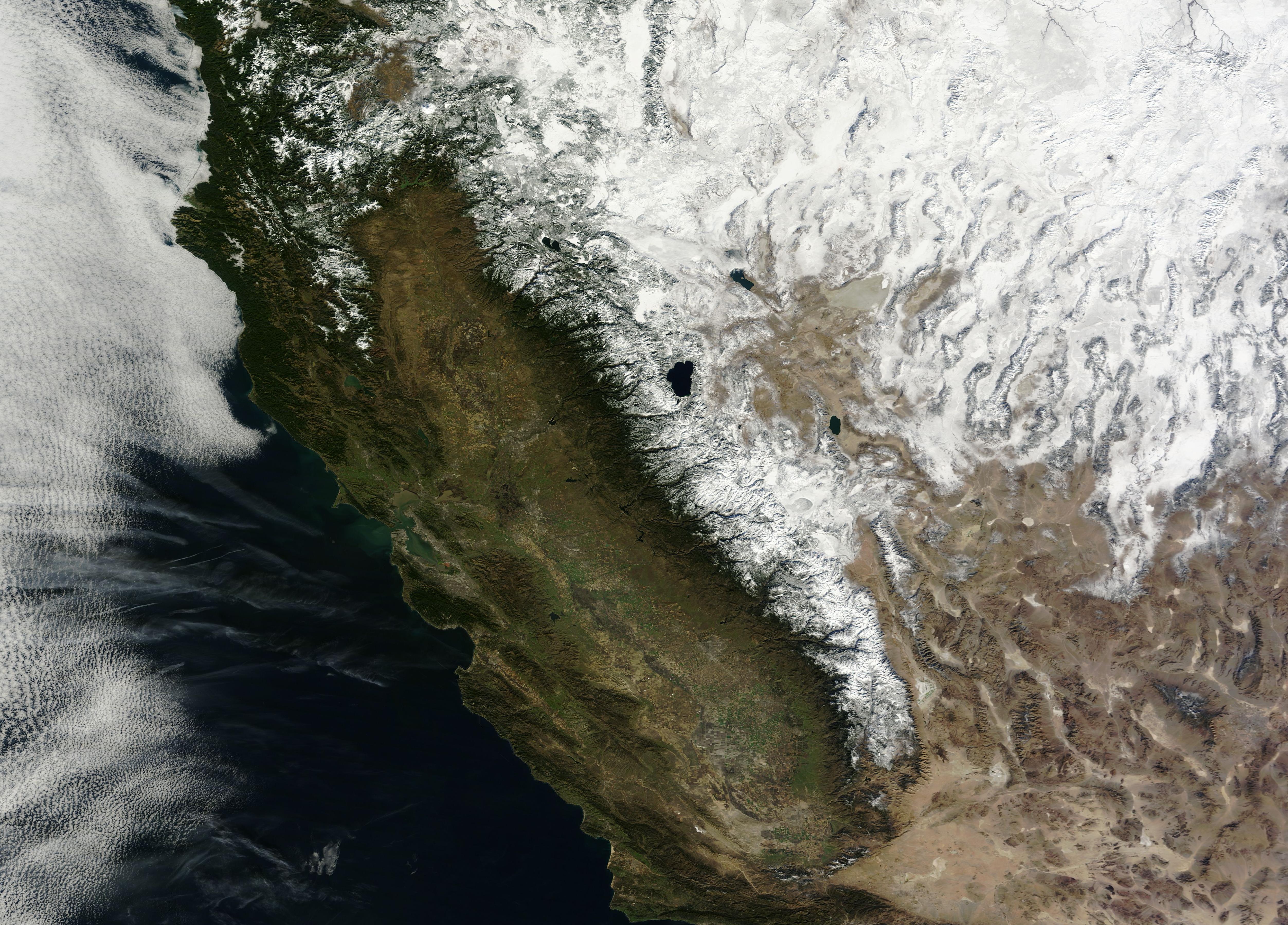
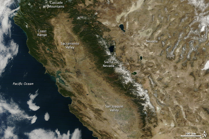
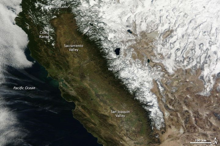
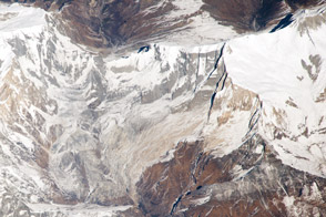
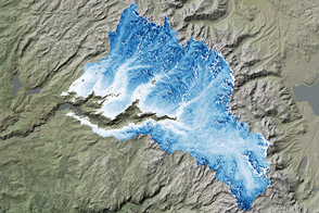
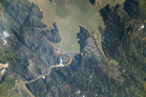
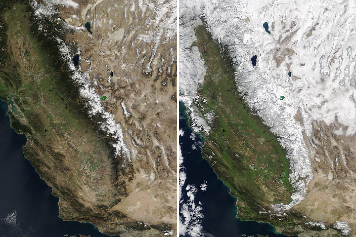
From brown landscapes to the bare mountains, California is clearly dry in this view from the Moderate Resolution Imaging Spectroradiometer (MODIS) on NASA’s Terra satellite, taken on January 18, 2014. The lower image, taken on January 18, 2013, contrasts last year’s drought conditions with the extreme conditions currently in place.
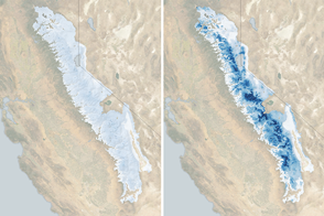
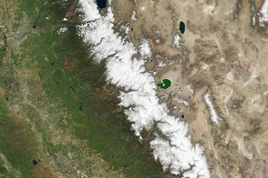
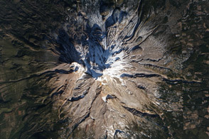
The most striking difference between the two years is the amount of snow cover on mountains. The Sierra Nevada range has very little snow, and Coast Range and Cascade Mountains are almost completely snow free. California gets a third of its water supply from mountain snow, but with warm, dry weather, little snow has accumulated. In January 2014, the snowpack was between 10 and 30 percent of normal. Since much of the snow pack can come from just a few events, one or two big storms could make a significant difference. The widespread snow in 2013 may be from one such event, since snow covers not only the mountains, but also the basins and ranges of Nevada to the east. By spring of 2013, the Sierra Nevada snowpack would be well below average, contributing to the worsening drought.
Less striking at first glance, but just as telling is the condition of the vegetation west of the Sierra Nevada. In 2013—a year into the drought—the central valley was green with growing crops. The coastal hills were also green from winter rain. In 2014, everything west of the forested mountains is brown. Even irrigated agriculture in the center of the state appears to be limited compared to 2013. Viewing the images with the image comparison tool makes it easier to see the difference in vegetation from last year to this year.
Under such conditions, California may be prone to water shortages, crop loss and the loss of farm jobs, and increased wildfires, warned the emergency proclamation.
NASA images courtesy LANCE/EOSDIS MODIS Rapid Response Team at NASA GSFC. Caption by Holli Riebeek.


