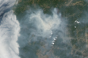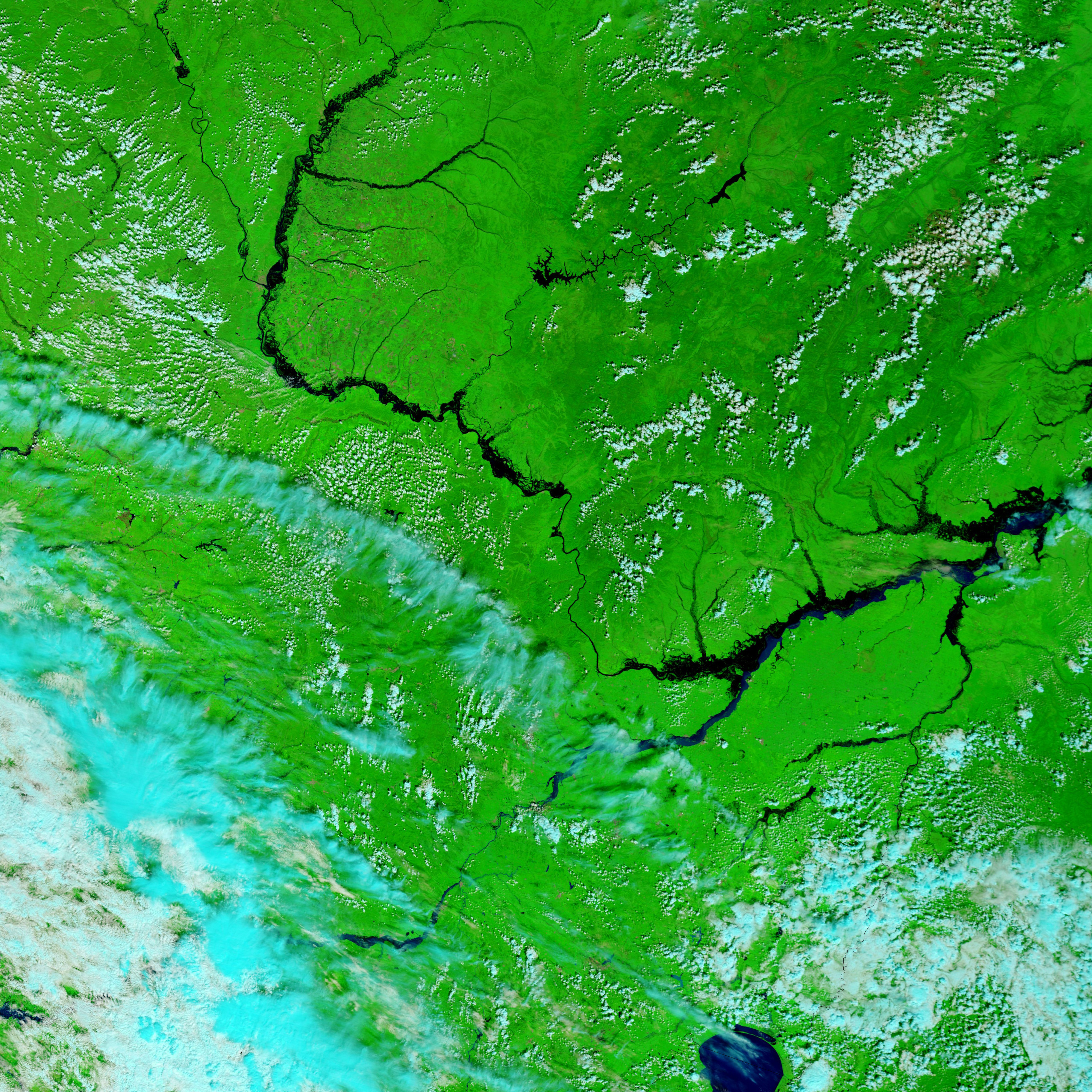
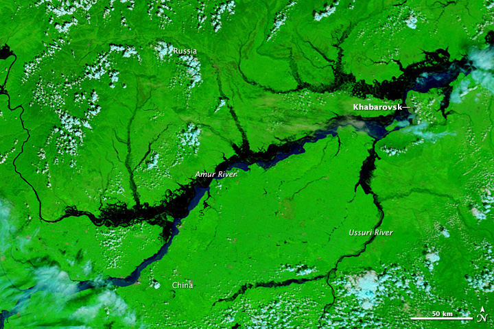
In August 2013, unseasonably heavy rains brought historic flooding to far eastern Russia and northeastern China. Russia’s Amur and Khabarovsk regions were the hardest-hit areas. They received upwards of 300 millimeters (12 inches) of rain in the first twelve days of August alone.
Forecasters have described the event as the largest-scale flood in Russia’s history. Floodwaters forced more than ten thousand people from their homes, inundated vast swaths of farmland, and swamped numerous roads.
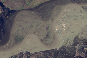
In the city of Khabarovsk, the Amur River had swollen to a record height of 696 centimeters (274 inches) on August 21, according to media reports. If the river height reaches 780 centimeters (307 inches), officials in Khabarovsk will begin mass evacuations of the city, which is home to 575,000 people.
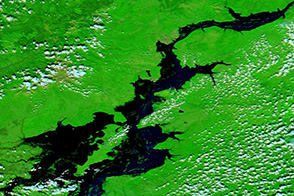
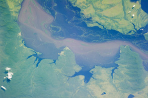
The clouds cleared on August 21, 2013, when the Moderate Resolution Imaging Spectroradiometer (MODIS) on NASA’s Terra satellite acquired the top image. The false-color image is made from shortwave-infrared, near-infrared, and red light. In this type of image, water is black or dark blue. Sediment-laden water or muddy ground is pale blue. Clouds are turquoise; plant-covered land is green; and bare earth is tan-pink.
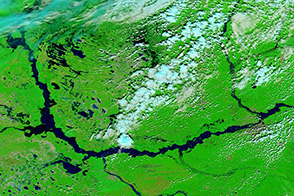
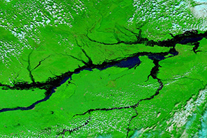
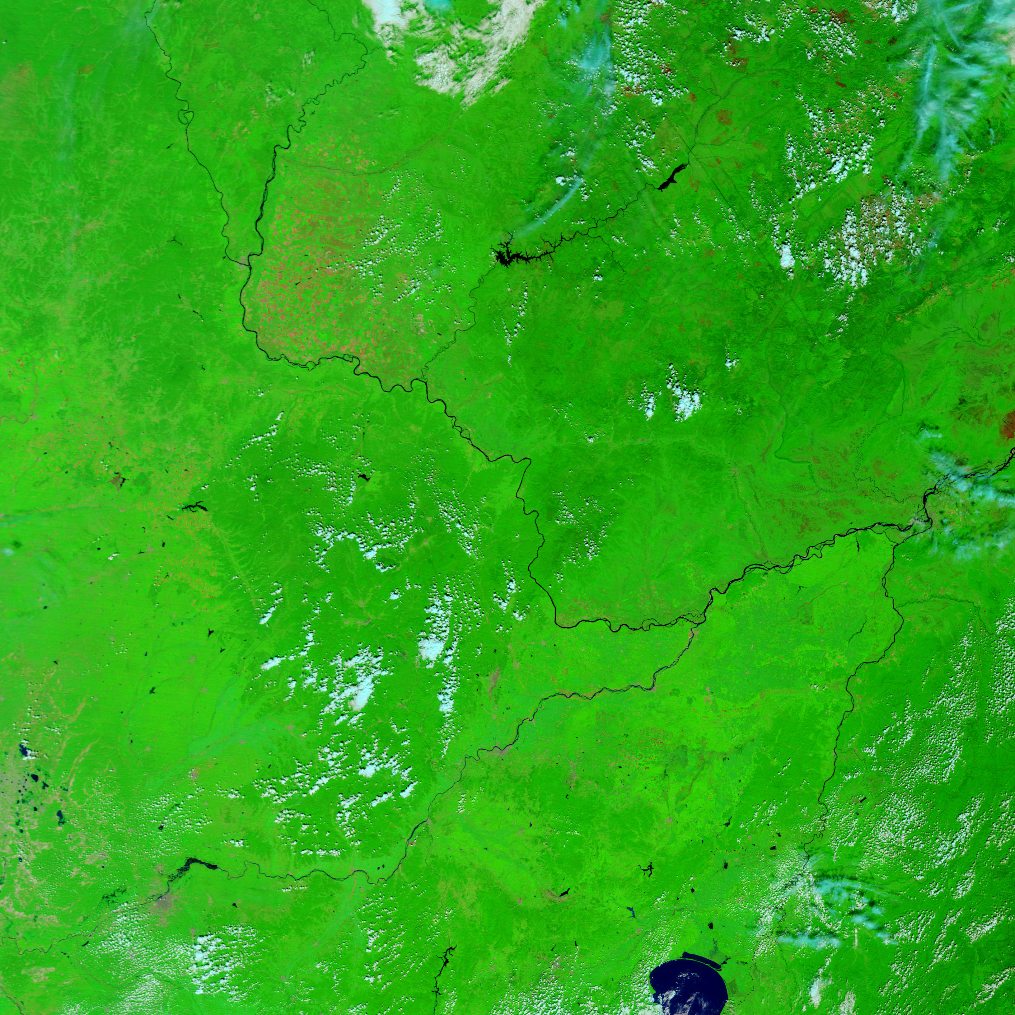
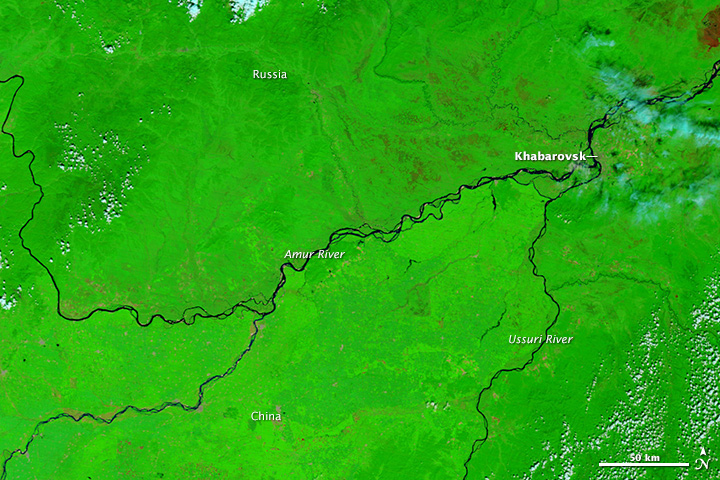
The lower image, taken on August 21, 2008, shows conditions during drier times. The contrast reveals extensive flooding along the Amur and Ussuri rivers. Widespread floods also color many of the tributaries of the two rivers.
NASA image courtesy the LANCE/EOSDIS MODIS Rapid Response Team at NASA GSFC. Caption by Adam Voiland.