The Earth Observatory has published its last Image of the Day on this website. Please join us on our new home at science.nasa.gov/earth/earth-observatory.
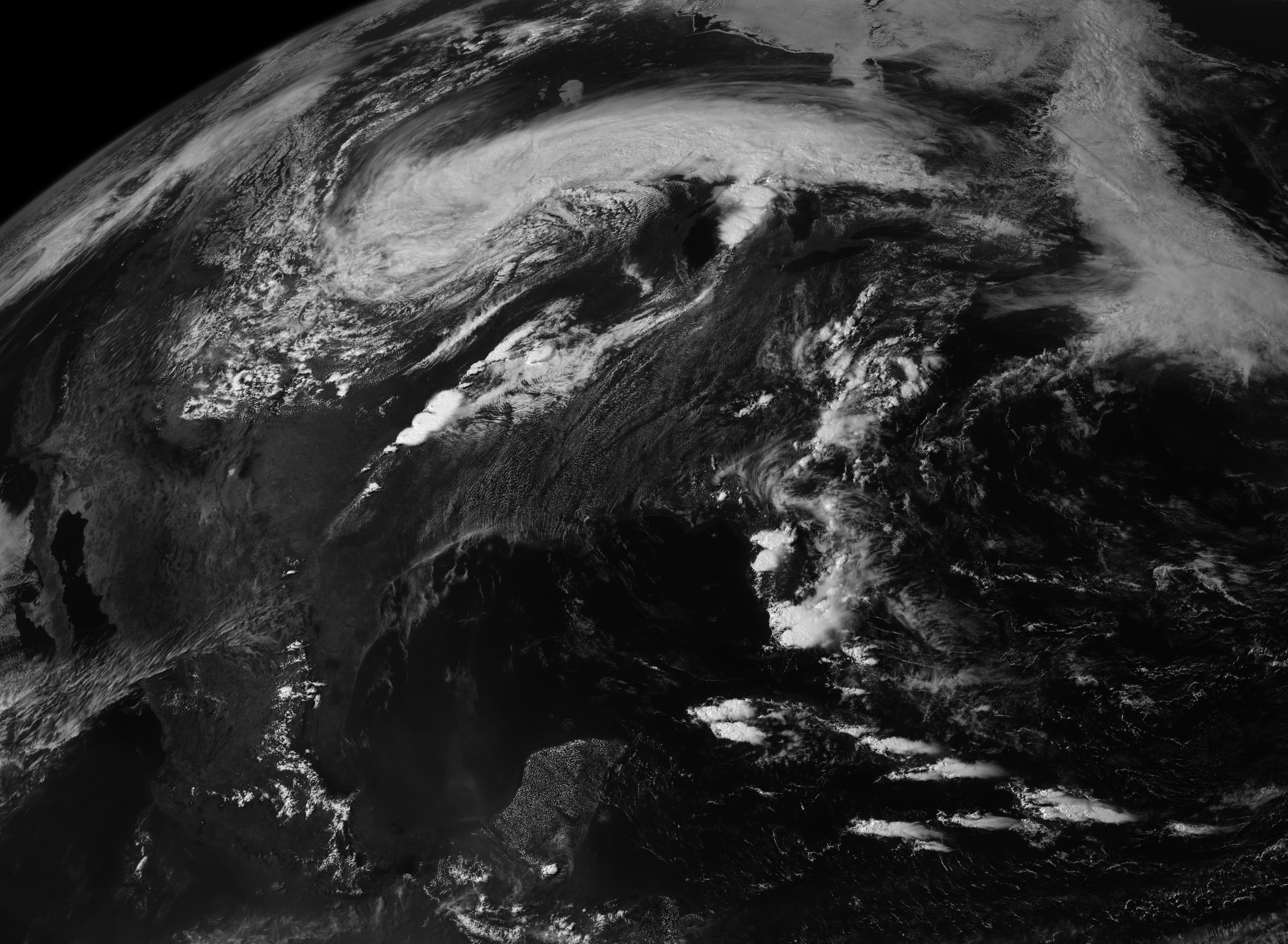
NOAA’s GOES-East (Geostationary Operational Environmental Satellite) collected this view of the storm system that spawned a deadly tornado on May 20, 2013, over Moore, Oklahoma. The downloadable animation runs from 10:45 a.m. through 6:45 p.m., Central Daylight Time.
NASA Earth Observatory animation by Robert Simmon, using images from GOES Project Science.