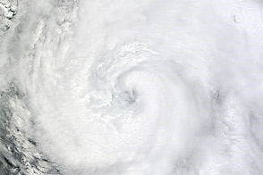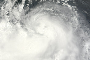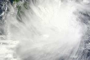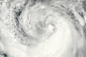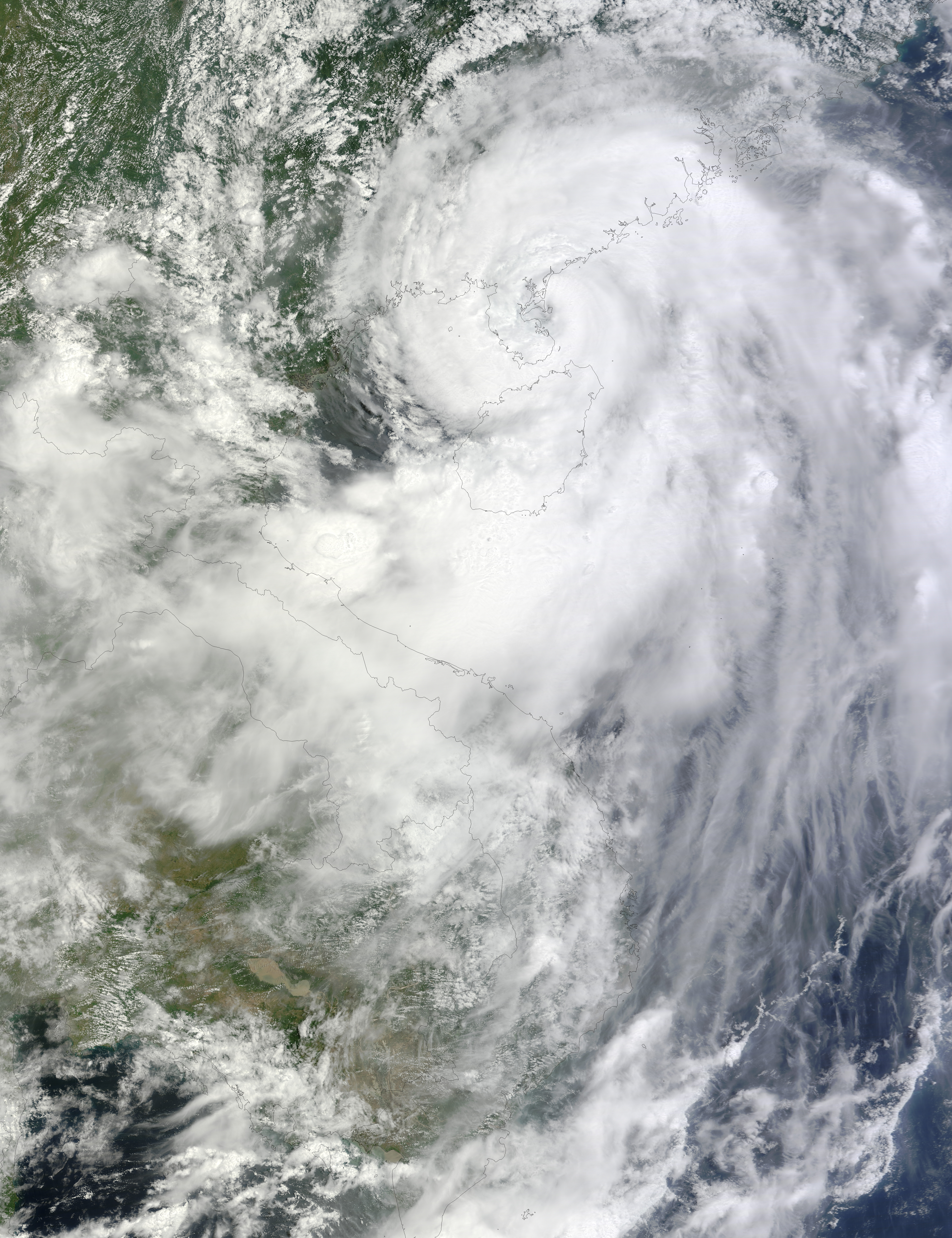
Shortly before noon on August 17, 2012, the eye of Typhoon Kai-tak was located just off the eastern shore of China’s Leizhou Bandao (Leizhou Peninsula). The Moderate Resolution Imaging Spectroradiometer (MODIS) on NASA’s Terra satellite captured this natural-color image around 11:40 a.m. local time. Storm clouds extended northward over mainland China and southward over southern Vietnam.
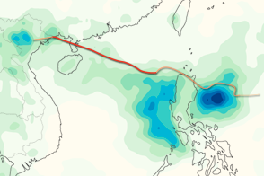
On August 17, the U.S. Navy’s Joint Typhoon Warning Center (JTWC) reported that the center of Kai-tak was located about 225 nautical miles (415 kilometers) east of Hanoi, Vietnam, with maximum sustained winds of 65 knots (120 kilometers per hour) and gusts up to 80 knots (150 kilometers per hour). The JTWC forecast that the storm would continue moving toward the west-northwest, making a second landfall near the China-Vietnam border.
By the time MODIS acquired this image, Kai-Tak had caused turmoil in parts of eastern China, stranding thousands of airline passengers, knocking out power in multiple provinces, prompting authorities to call about 10,000 fishing boats back to port, and forcing the relocation of about 274,000 residents. In the Philippines, where Kai-tak was known locally as Helen, the storm was blamed for nine deaths, 17 injuries, and two people missing.
Typhoon Kai-tak was the fourth storm to make landfall in eastern China in just over two weeks, following Typhoons Saola, Damrey, and Haikui. The storm also followed heavy rains and deadly flooding in the Philippines.
NASA image courtesy Jeff Schmaltz, LANCE MODIS Rapid Response Team at NASA GSFC. Caption by Michon Scott.