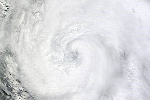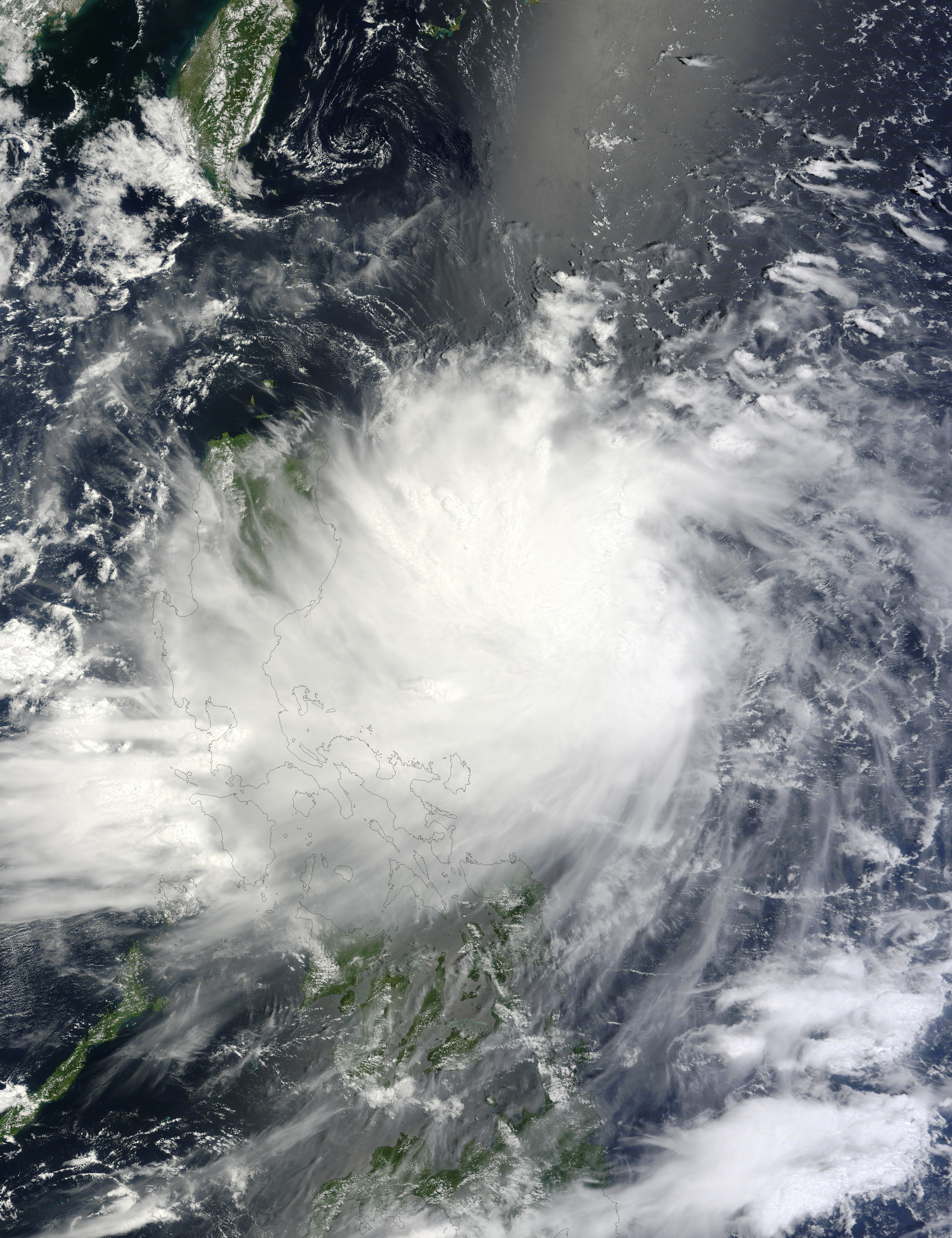
By August 13, 2012, Tropical Storm Kai-tak was extending spiral arms over the northern Philippines but taking a longer path toward the southeastern coast of China. In the wake of torrential rains in the Philippines, and Typhoons Saola, Damrey, and Haikui, Kai-tak held the potential to cause more damage in a region already battered by tropical storms and monsoon rains.
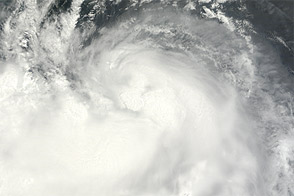
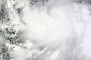
The Moderate Resolution Imaging Spectroradiometer (MODIS) on NASA’s Terra satellite captured this natural-color image of Tropical Storm Kai-tak on August 13, 2012. Storm clouds stretched across the northern Philippines, although Kai-tak lacked a distinct eye.
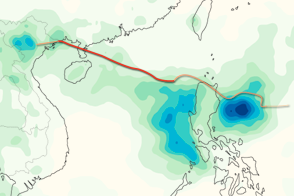
The same day that MODIS acquired this image, the U.S. Navy’s Joint Typhoon Warning Center (JTWC) reported that Kai-tak was located about 290 nautical miles (535 kilometers) east-northeast of Manila. The storm had maximum sustained winds of 40 knots (75 kilometers per hour) with gusts up to 50 knots (95 kilometers per hour). The JTWC forecast that Kai-tak would strengthen to sustained winds of 65 knots (120 kilometers per hour) over the next few days. The projected storm track showed Kai-tak making landfall in southeastern China between August 16 and 17.
NASA image courtesy Jeff Schmaltz, LANCE MODIS Rapid Response Team at NASA GSFC. Caption by Michon Scott.