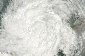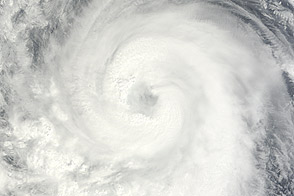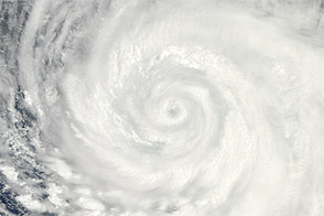
Just a few days after twin storms made landfall in eastern China, another severe storm headed for the same coast. Haikui started as a tropical depression over the western Pacific Ocean on August 2, 2012. It strengthened to a tropical storm on August 4, and further strengthened to a typhoon on August 6.
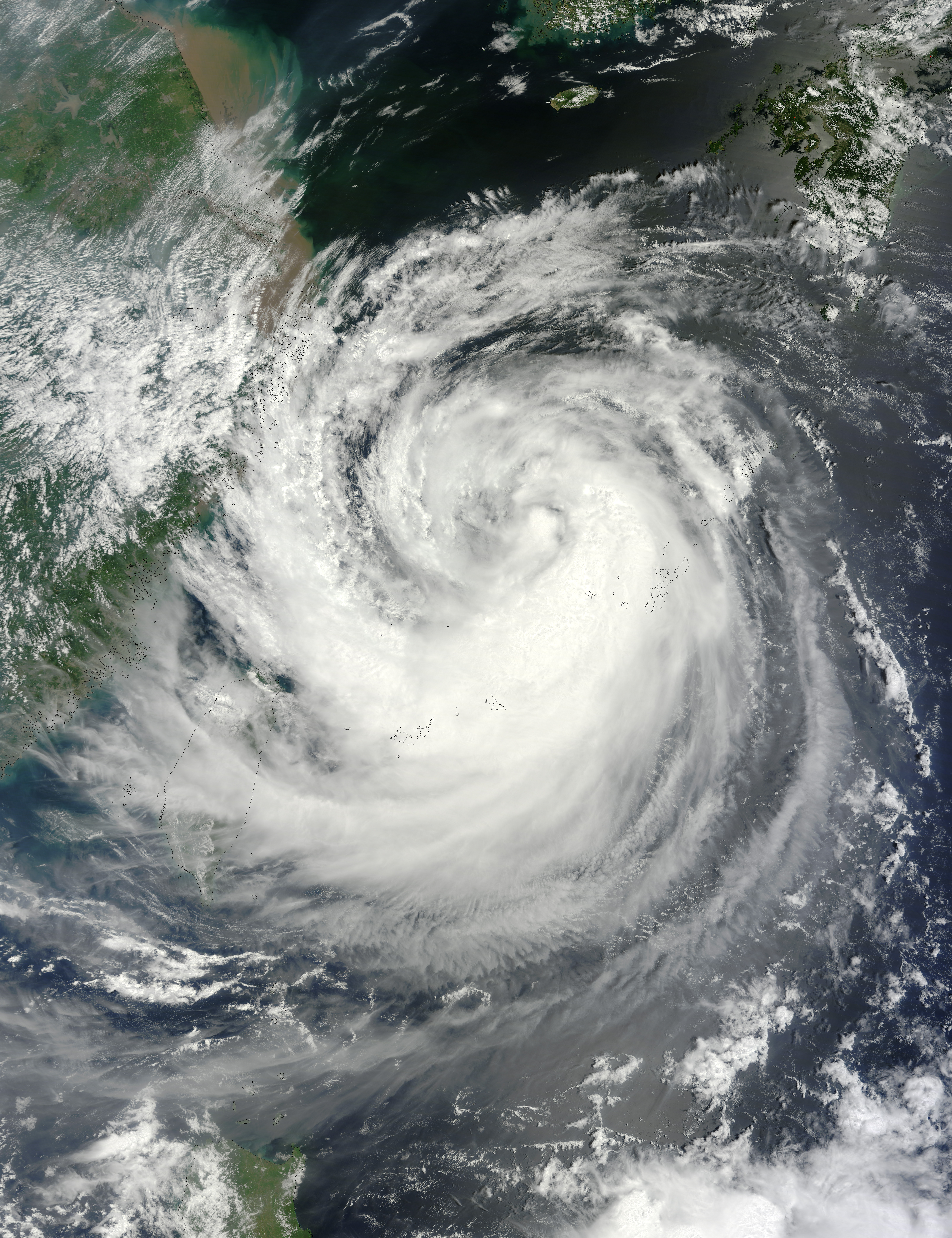
The Moderate Resolution Imaging Spectroradiometer (MODIS) on NASA’s Terra satellite captured this natural-color image of Haikui on August 6, 2012. Storm clouds extended over Taiwan, and skirted the coast of China.
On August 6, the U.S. Navy’s Joint Typhoon Warning Center (JTWC) reported that Haikui was located about 220 nautical miles (410 kilometers) northeast of Taipei. The storm had maximum sustained winds of 65 knots (120 kilometers per hour) with gusts up to 80 knots (150 kilometers per hour). The storm was expected to strengthen somewhat over the next 24 hours, and the JTWC storm track showed Haikui making landfall south of Shanghai on August 7–8, 2012.
Xinhua reported that Haikui had already brought high winds and heavy rains to some coastal regions of Zhejiang Province. Government officials called fishing boats back to port and urged residents to prepare for another storm.
NASA image courtesy Jeff Schmaltz, LANCE MODIS Rapid Response Team at NASA GSFC. Caption by Michon Scott.