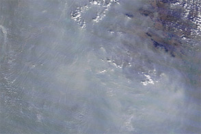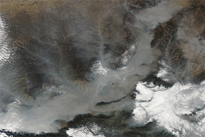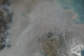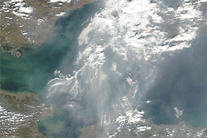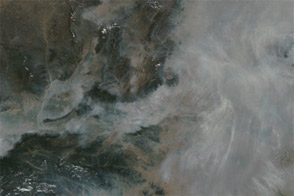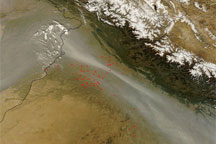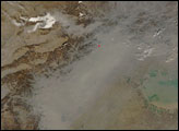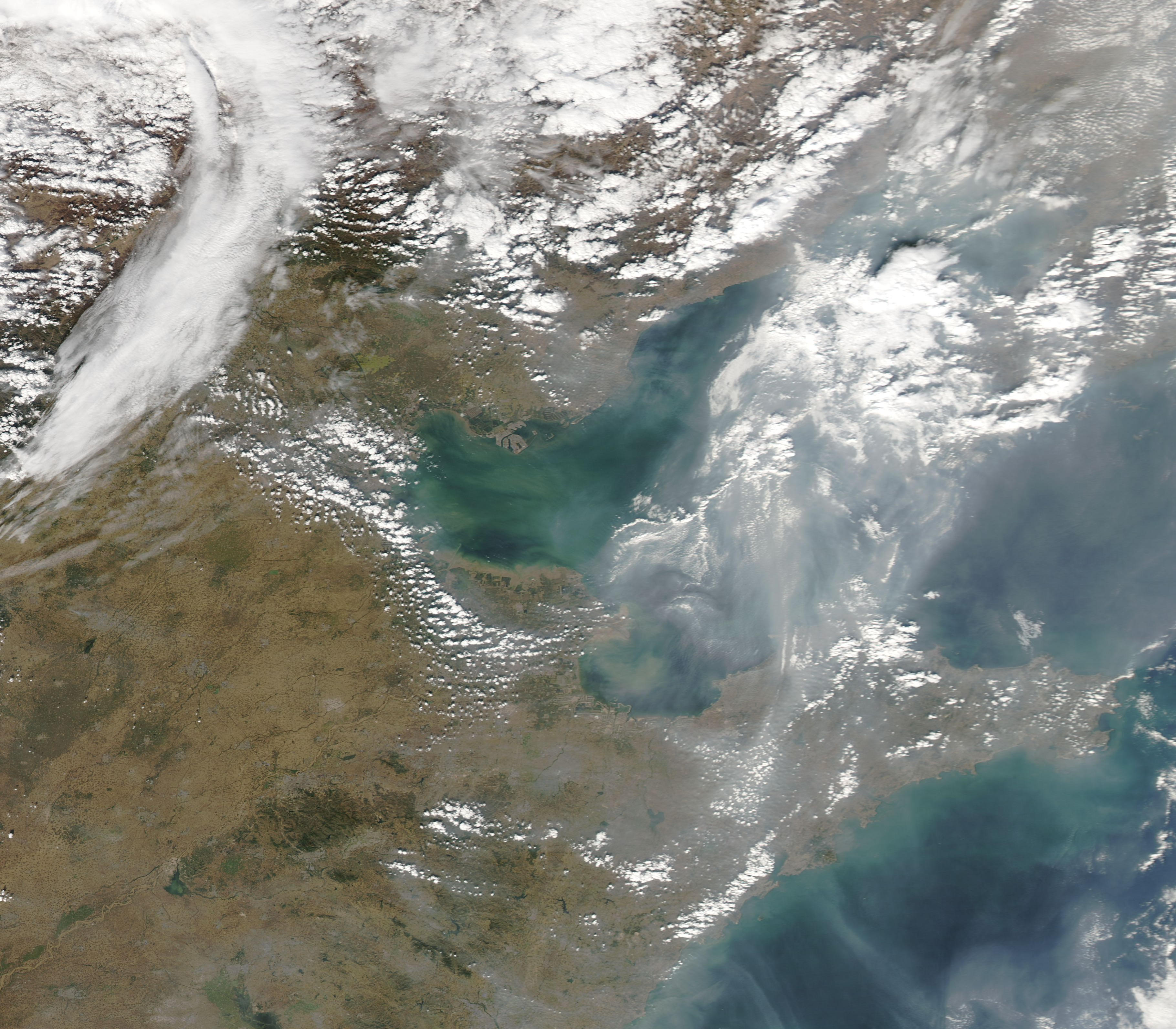
A band of thick haze extended across Bo Hai on October 14. The Moderate Resolution Imaging Spectroradiometer (MODIS) on NASA’s Aqua satellite took this picture the same day. The haze is nearly thick enough to hide the water surface. West of Bo Hai, skies are clearer.
This band of thick haze continued a pattern that occurred over eastern China in early October 2011. Haze filled the sky in that region for several days, likely resulting from a combination of urban and industrial pollution, and possibly smoke from agricultural fires.
NASA image courtesy MODIS Rapid Response Team at NASA GSFC. Caption by Michon Scott.