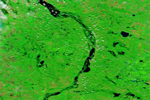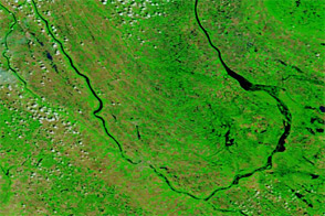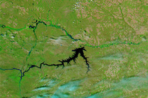
Floods had begun to slowly recede along the Souris River in North Dakota by early August 2011. On August 8, 2011, the Advanced Hydrological Prediction Service (AHPS) of the U.S. National Weather Service reported moderate flooding near the communities of Bantry, Towner, and Foxholm. In Minot, which suffered severe flooding earlier in the summer, the river was below flood stage.
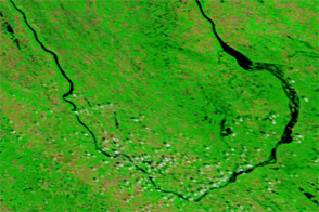
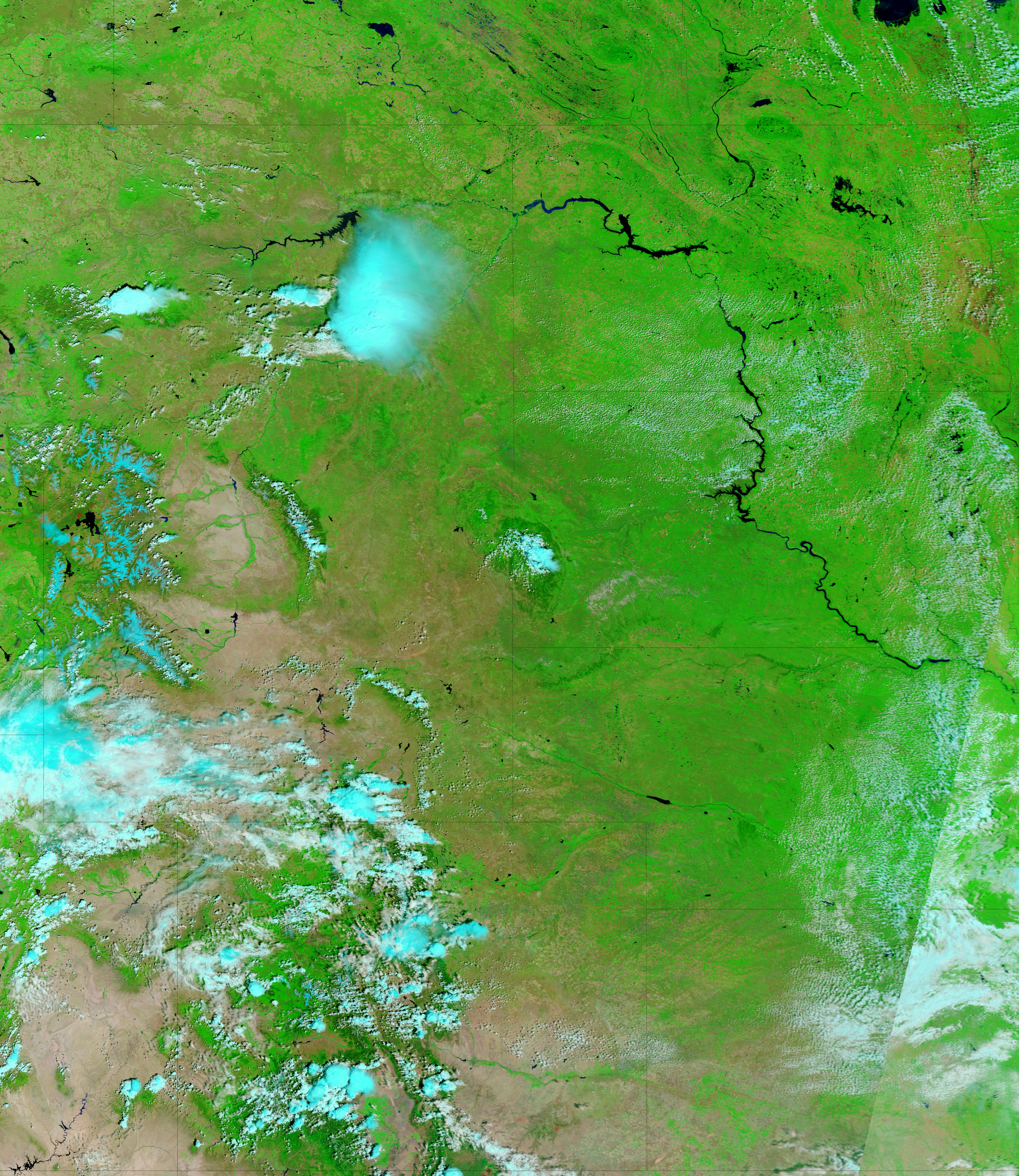
The Moderate Resolution Imaging Spectroradiometer (MODIS) on NASA’s Terra satellite captured the top image on August 7, 2011, and the bottom image on July 7, 2011. These images use a combination of visible and infrared light to increase contrast between water and land. Water is navy blue. Depending on land cover, areas not under water are green or earth-toned. Clouds range from pale blue-green to nearly white.
Both images show flooded conditions along parts of the Souris River, but the flooding in early August is less severe. Lower water levels are especially apparent between Bantry and Towner. Lower water levels are also evident southwest of Towner.
On August 8, the AHPS forecast that, over the next several days, the Souris River would continue to slowly recede near Bantry, remain roughly level near Towner, and recede to minor flood stage near Foxholm.
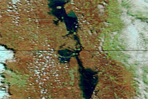
The Souris River originates in the Canadian province of Saskatchewan, and follows a southward loop through North Dakota before flowing into Manitoba.
NASA images courtesy MODIS Rapid Response Team, Goddard Space Flight Center. Caption by Michon Scott.