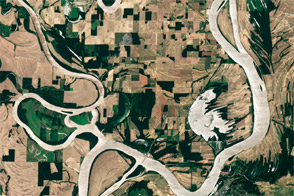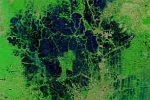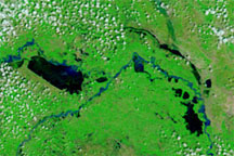
Snow and standing water covered large parts of Saskatchewan in late April 2011. Conditions were very different one year earlier, when little snow remained on the landscape, and water levels were significantly lower.
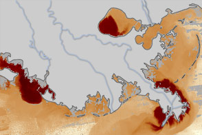
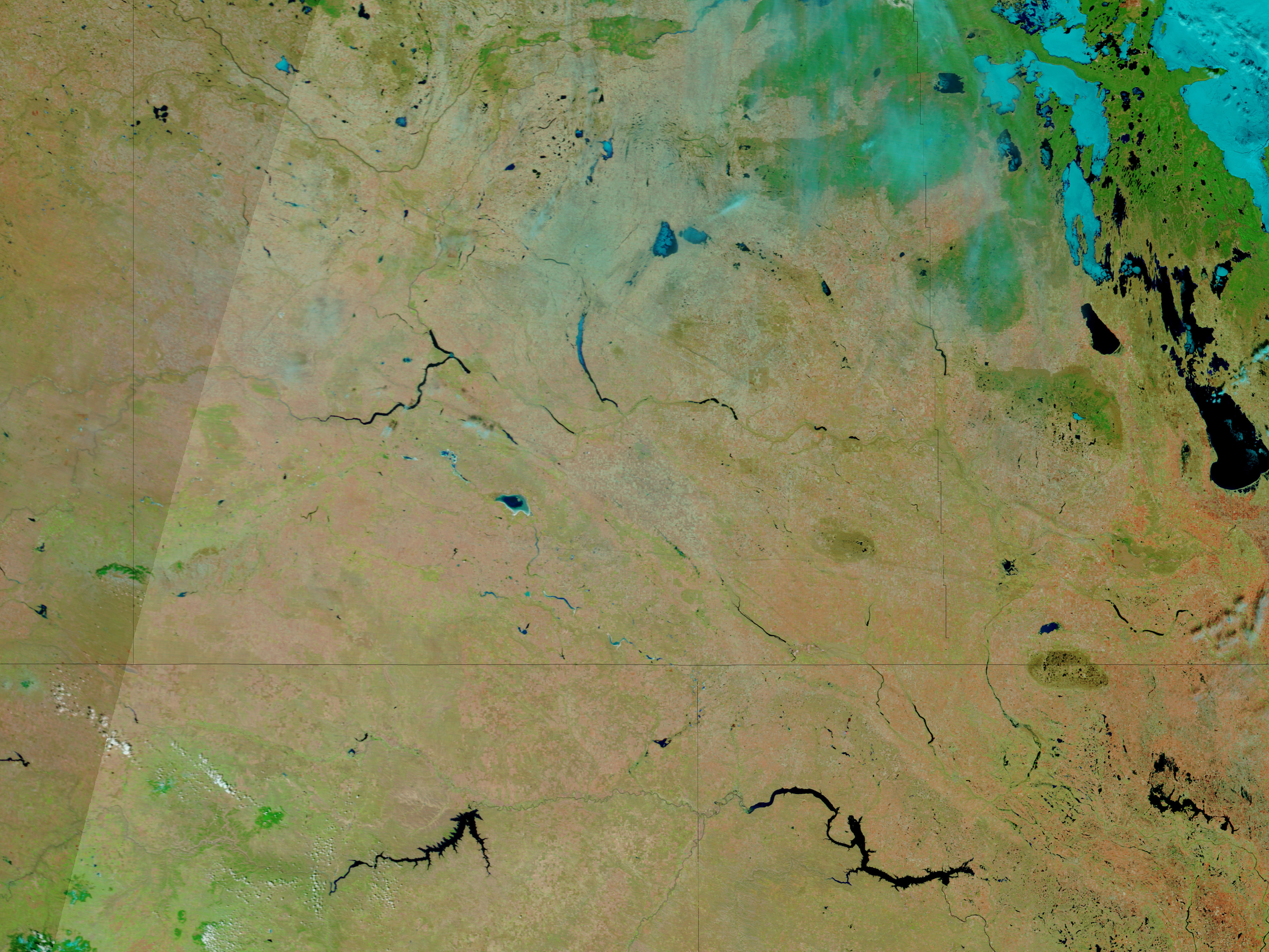
The Moderate Resolution Imaging Spectroradiometer (MODIS) on NASA’s Terra satellite acquired these images on April 21, 2011 (top), and the same date one year earlier (bottom). The images use a combination of infrared and visible light to increase the contrast between water and land. Snow is bright turquoise. Ice-covered water bodies are electric blue. Water is dark blue. Vegetation is green. Soil is earth-toned. Clouds are pale blue-green.
Snow lingers east of Regina in 2011. South of the city, bands of standing water run roughly northwest-southeast. Old Wives Lake appears much higher than in 2010, and water is clearly higher on Qu’Appelle River. (Parts of the river are invisible to MODIS in 2010.)
In neighboring Manitoba, potential flooding along the Qu’Appelle and other rivers had forced more than 850 people from their homes, the Canadian Broadcasting Corporation (CBC) reported. In Saskatchewan, lingering cold actually alleviated flooding by slowing the rate of snowmelt. On April 22, however, CBC reported that if temperatures rose quickly in Saskatchewan, waters could rise with equal speed. The flood risk stood well above normal across most of the southern part of the state.
NASA images courtesy MODIS Rapid Response Team, Goddard Space Flight Center. Caption by Michon Scott.