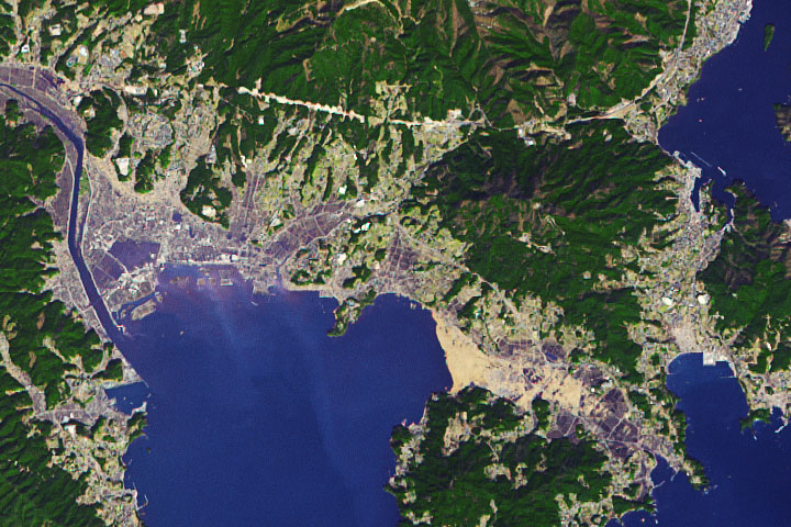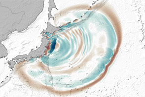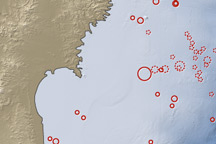

Since the massive magnitude 9 earthquake stuck on March 11, 2011, 58 aftershocks of magnitude 6 or greater have rattled Japan, said the U.S. Geological Survey. One of the stronger aftershocks to date, a magnitude 7.1 quake, hit on April 7, 2011, at 11:32 p.m. local time, killing four and injuring 141, according to Japanese news reports. Though a warning was issued, the earthquake did not cause a tsunami.
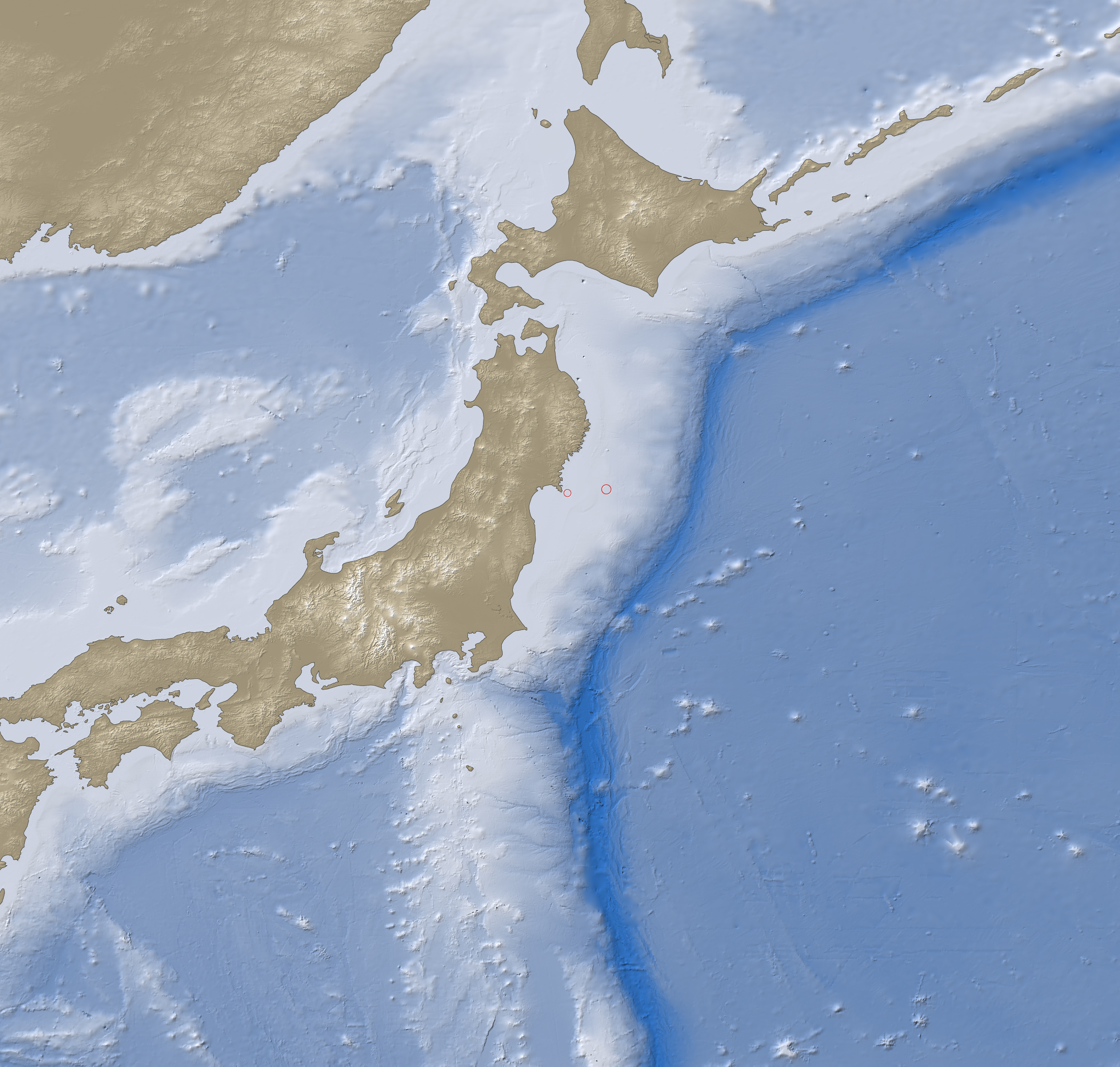
This map shows the location of the April 7 aftershock in relation to the large March 11 quake. The earthquake occurred 40 kilometers east of the Oshika Peninsula at a depth of 66 kilometers along a thrust/reverse fault. It is the third largest aftershock since the March 11 earthquake. The two larger aftershocks were magnitude 7.7 and 7.9, and both occurred on March 11.
All of the earthquakes are occurring near the boundary between the North American plate, on which northern Japan sits, and the Pacific plate. In this region, the Pacific Plate is moving west under the North American plate at 83 millimeters per year. The Pacific Plate sinks below the North American plate along the Japan Trench, shown in this image. Friction between the plates causes tension and earthquakes.
NASA Earth Observatory image created by Jesse Allen, using earthquake and plate tectonics data from the USGS Earthquake Hazard Program, land elevation data from the Shuttle Radar Topography Mission (SRTM) provided by the University of Maryland’s Global Land Cover Facility, and ocean bathymetry data from the British Oceanographic Data Center’s Global Bathmetric Chart of the Oceans (GEBCO). Caption by Holli Riebeek.