Weeks of torrential rains, and resulting floods and mudslides, pushed the death toll in China above 1,000, Voice of America reported in early August 2010. As the death toll throughout the country climbed, authorities watched two rivers with growing concern: the Yalu and Tuman Rivers that mark the border between China and North Korea. The Xinhua state news agency reported that water levels on those waterways were dangerously high.
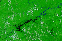
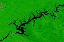
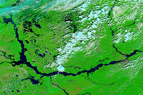
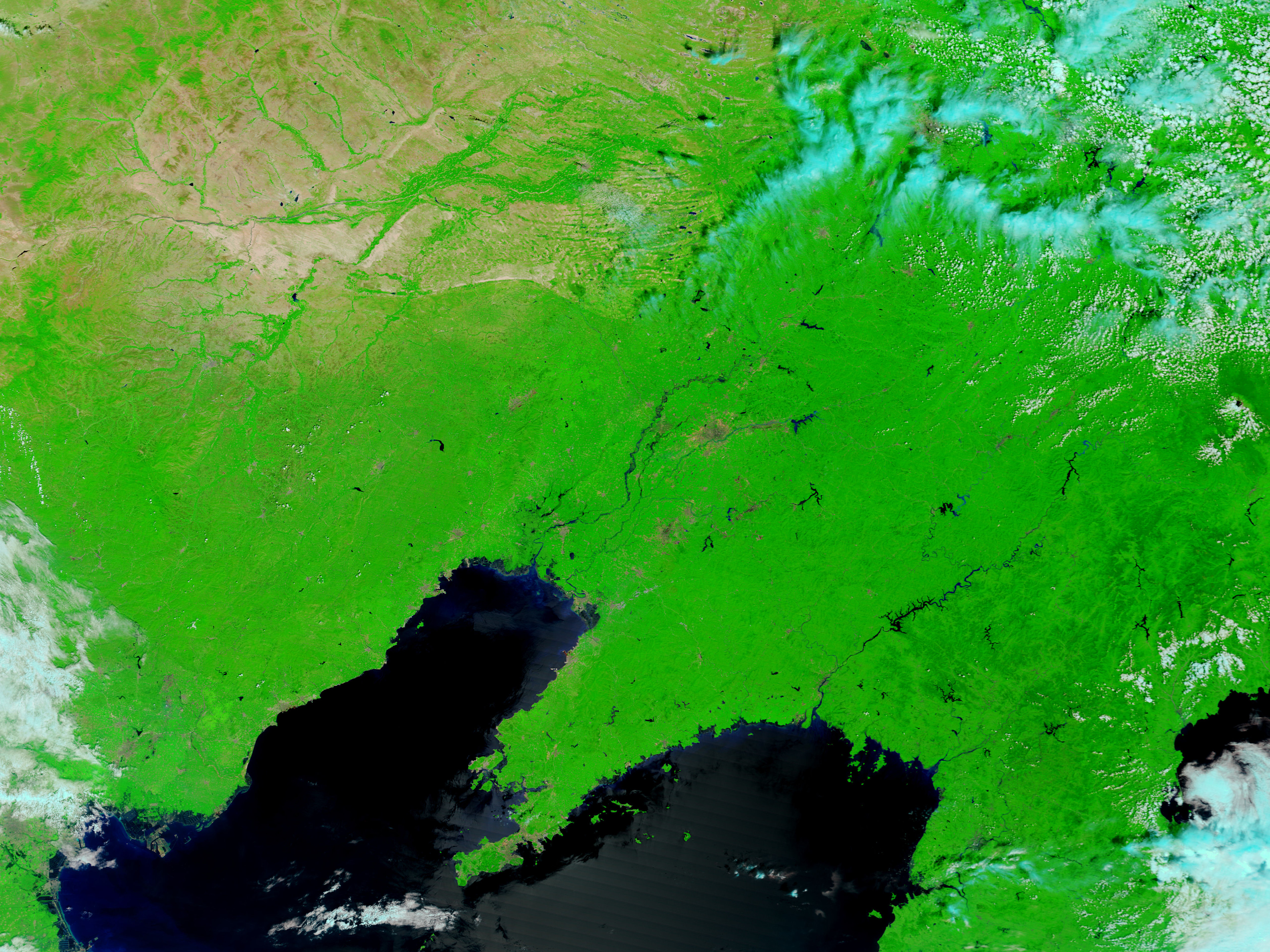
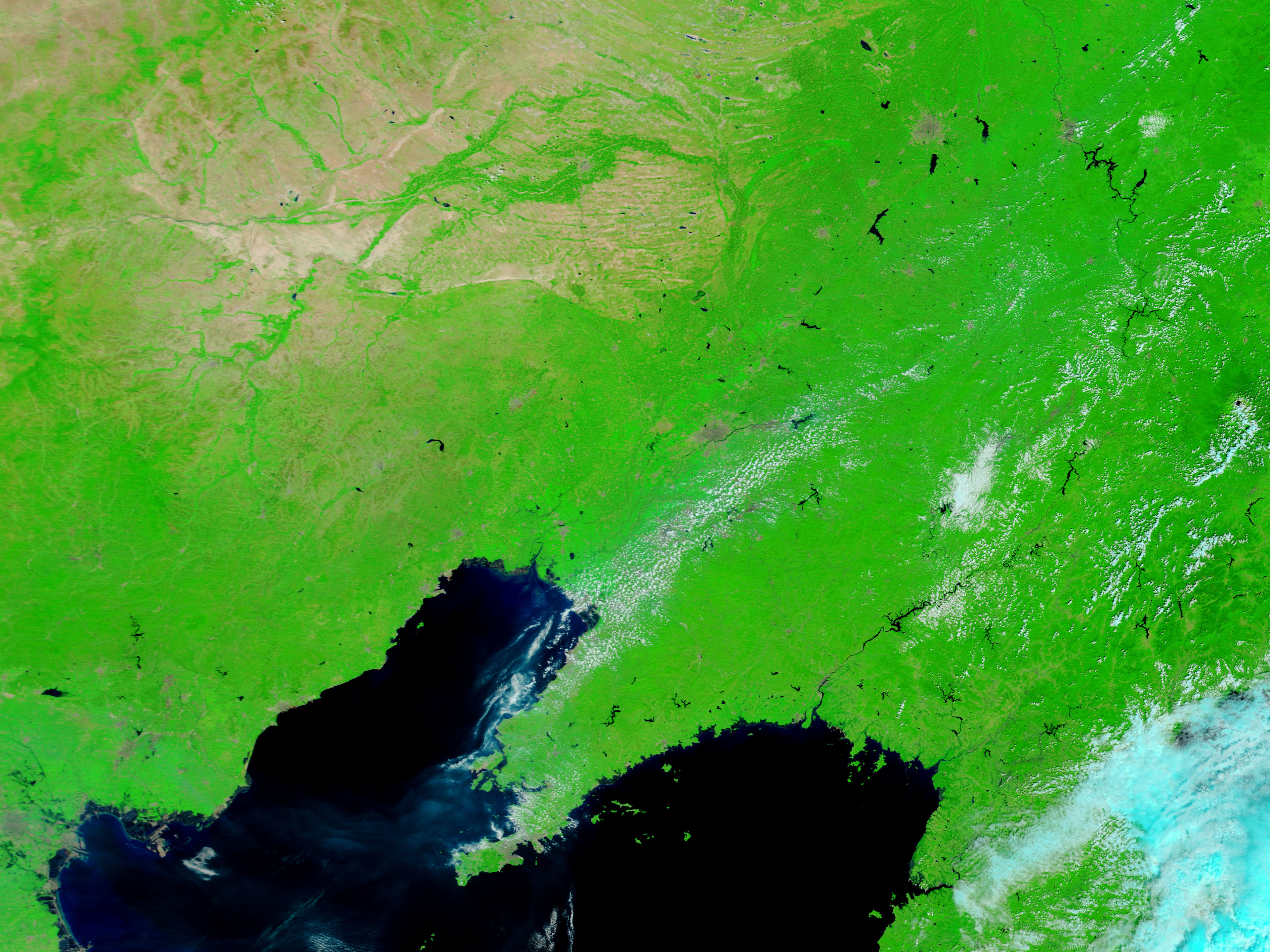
The Moderate Resolution Imaging Spectroradiometer (MODIS) on NASA’s Terra satellite captured evidence of rising water levels along the Yalu River, or Yalu Jiang, in early August 2010. The top image shows the area on August 2, 2010, and the bottom image shows the same area almost a year earlier, on August 12, 2009. Both images use a combination of infrared and visible light to increase the contrast between water and land. Vegetated land appears in varying shades of green, and water appears navy blue.
Although the differences in water levels along Yalu Jiang are not dramatic, they are discernible. The river appears wider in 2010, and higher water levels appear along the multiple tributaries feeding the river.
Flooding along the Yalu and Tuman Rivers had the potential to devastate North Korea, Voice of America reported. Flooding in China’s Jilin Province had already killed at least 74 people and forced the evacuation of nearly 800,000 more. Meanwhile, Agence France-Presse reported that nearly 1,700 people were dead or missing in China as of August 4, and with more rains on the way, Chinese authorities warned that the situation could worsen.
NASA images courtesy the MODIS Rapid Response Team at NASA GSFC. Caption by Michon Scott.
alert message