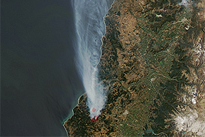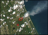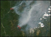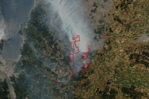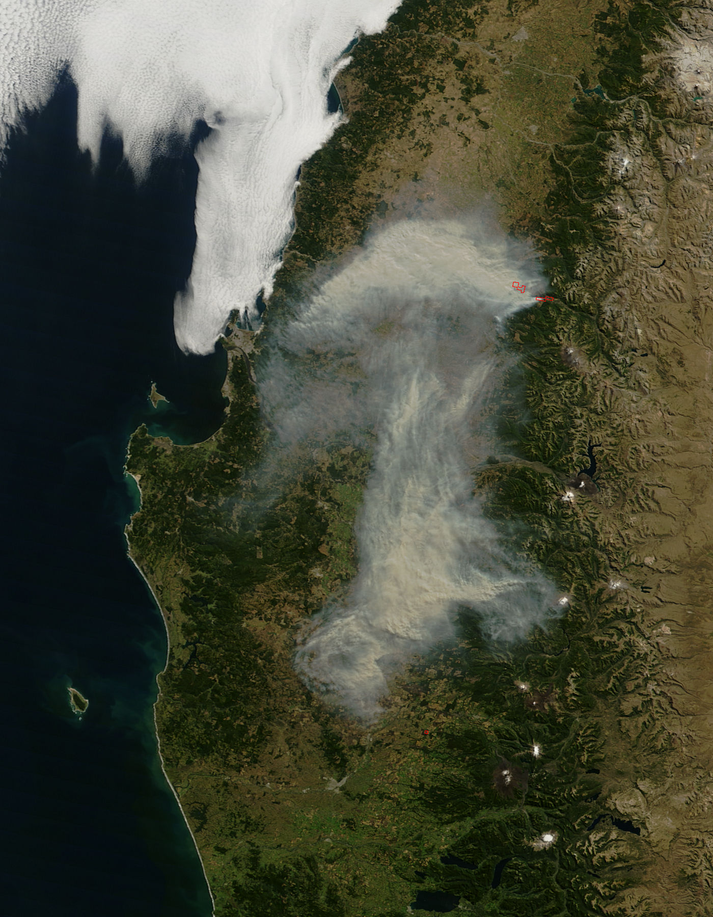
A large fire in central Chile scorched thousands of acres of natural woodlands, pastures, and pine plantations in early April, and on April 6, 2010, thick brownish smoke hung over the Bío Bío and northern Araucanía provinces. In this image, which was captured by the Moderate Resolution Imaging Spectroradiometer (MODIS) on NASA’s Aqua satellite at 10:45 a.m. local time, the locations of actively burning fires are outlined in red. (Other “hot spots” may be undetectable beneath the thick smoke.) According to news reports, the cause of the fire was unknown.
NASA image by Jeff Schmaltz, MODIS Rapid Response Team at NASA GSFC. Caption by Rebecca Lindsey.