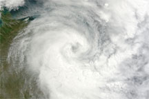
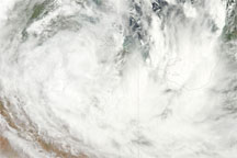
Tropical Cyclone Olga lingered over northern Australia on January 28, 2010. The Moderate Resolution Imaging Spectroradiometer (MODIS) on NASA’s Terra satellite took this picture the same day. Olga’s clouds are primarily inland, but a significant portion of the storm also hovers over the Gulf of Carpentaria.
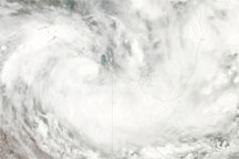
On January 28, 2010, the U.S. Navy’s Joint Typhoon Warning Center reported that the storm was roughly 400 nautical miles (740 kilometers) southeast of Darwin, Australia, and had been moving slowly toward the south-southwest. Olga had maximum sustained winds of 30 knots (55 kilometers per hour) and gusts up to 40 knots (75 kilometers per hour). Residents of Australia’s Northern Territory braced for possible winds and rains associated with the storm.
NASA image by Jeff Schmaltz, MODIS Rapid Response Team, Goddard Space Flight Center. Caption by Michon Scott.
Atmosphere Water Severe Storms
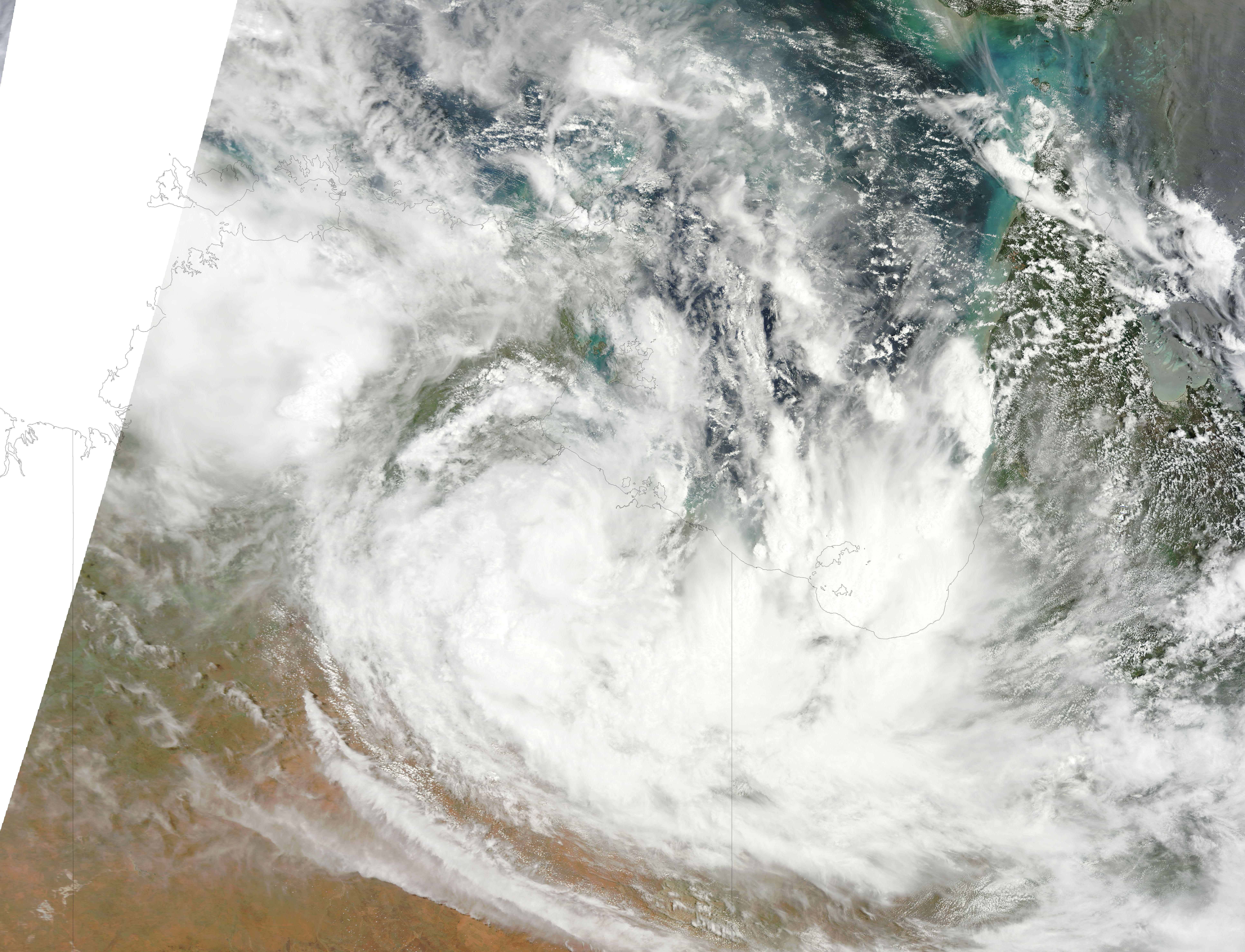
Acquired January 28, 2010, this true-color image shows Tropical Cyclone Olga overlapping the coastlines of Northern Territory and Queensland, Australia, and the Gulf of Carpentaria.

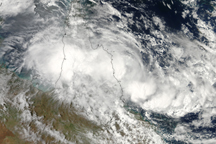
Tropical Storm Olga crossed over northern Queensland, Australia, in late January 2010, but did not cause any significant damage.
alert message