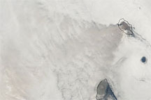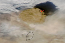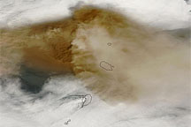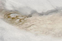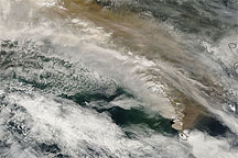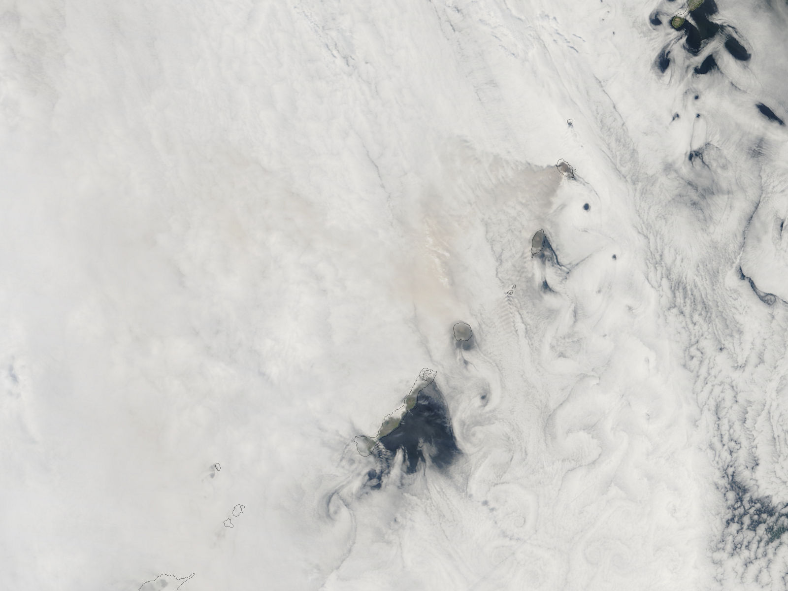
Sarychev Peak on Ostrov Matua continued producing a visible volcanic plume on June 18, 2009, but the plume was far less conspicuous than it had been earlier in the week. This image, acquired by the Moderate Resolution Imaging Spectroradiometer (MODIS) on NASA’s Terra satellite on June 18, shows a barely discernible plume blowing toward the west and south over a blanket of clouds.
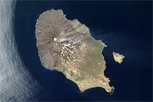
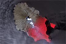
Part of the seismically active Pacific Ring of Fire, Sarychev Peak sits at the northwestern end of Ostrov Matua (Matua Island) in the Central Kuril (Kurile) Islands. It is a stratovolcano composed of alternating layers of hardened lava, solidified volcanic ash, and rocks thrown out by earlier eruptions. Eruptions at Sarychev Peak have been recorded since the eighteenth century.
NASA image by Jeff Schmaltz, MODIS Rapid Response Team, Goddard Space Flight Center. Caption by Michon Scott.