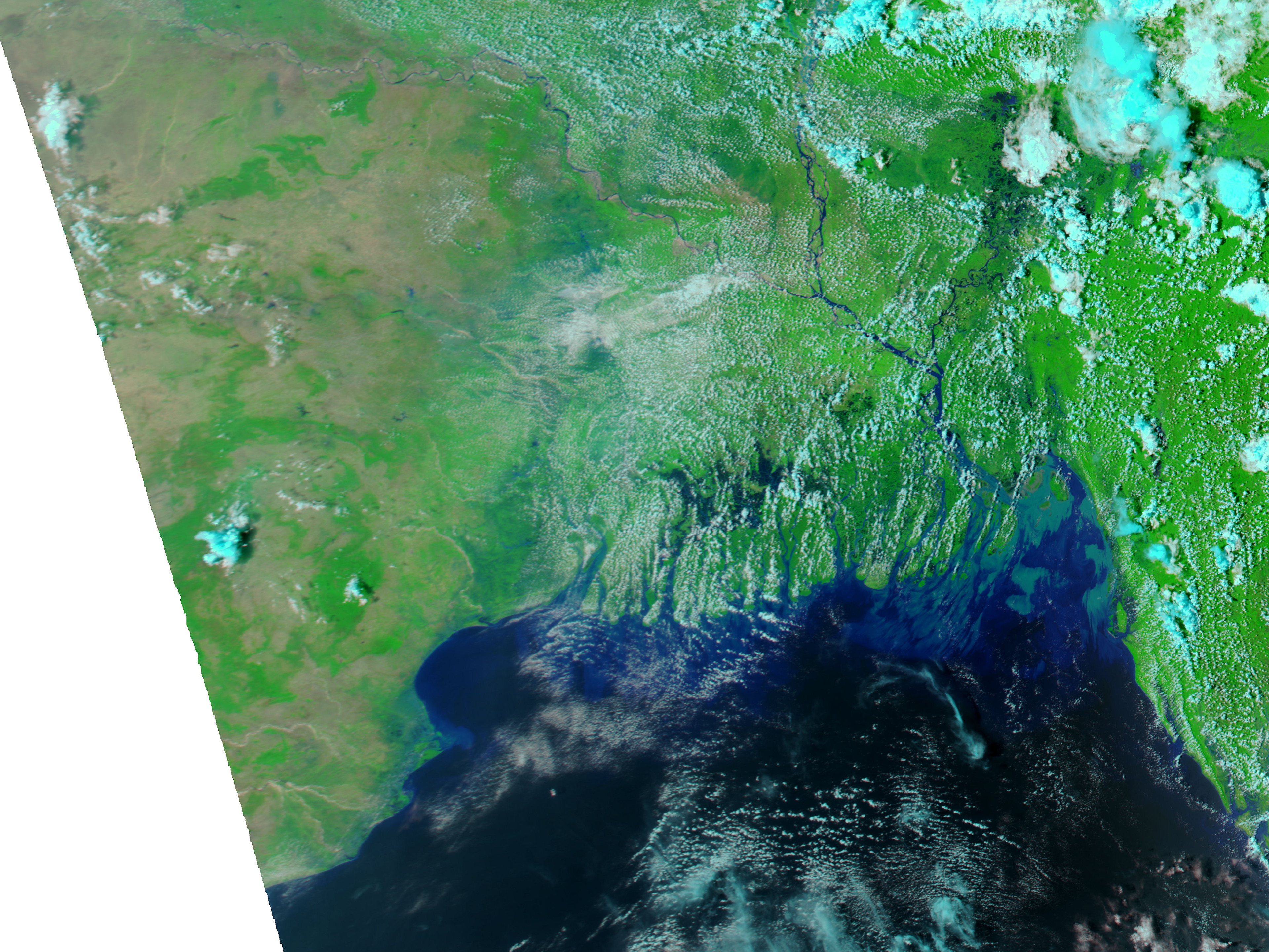

Cyclone Ailia was not a strong storm, but its heavy rains and storm surges were enough to swamp the Mouths of the Ganges River in Bangladesh and India. Some islands in the Bay of Bengal and the mangrove forests of the Sundarbans region were inundated and still cut off from relief and rescue workers as of May 29, 2009. Clean drinking water was an acute problem: tidal surges continued to wash salty water inland over damaged levees, and salt water cannot be decontaminated with regular water purification tablets, according to reports from BBC news.
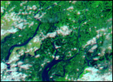
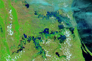
This pair of images from the Moderate Resolution Imaging Spectroradiometer (MODIS) on NASA’s Aqua satellite shows the flooding on May 28, 2009 (top), compared to the conditions on May 11, prior to the storm. Made from a combination of visible, shortwave-, and near-infrared light, the image highlights standing water, which appears blue. Vegetation is neon green, and bare ground is tan. Clouds are light blue or white.
Even prior to the storm, pockets of standing water appear in the Sundarbans and other low-lying areas; the first storms of the rainy season (generally June-September) may have already begun. But a dramatic increase in flooded areas is obvious in the post-storm image, despite the patchy clouds. Distributaries in the Sundarbans are wider and coastal areas of Orissa state (lower left) and West Bengal state (northeast of Orissa) in India were pale blue, rather than the light tan they were in the pre-storm image.
The large images provided above are at MODIS’ maximum spatial resolution (level of detail) of 250 meters per pixel. The MODIS Rapid Response Team provides twice-daily images of the area in a variety of resolutions and formats, including photo-like natural color.
NASA image by Jeff Schmaltz, MODIS Rapid Response Team, Goddard Space Flight Center. Caption by Rebecca Lindsey.