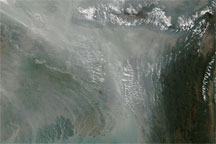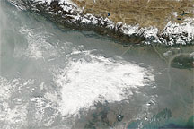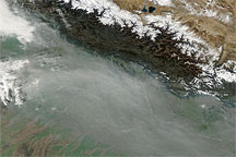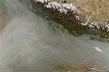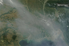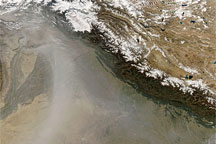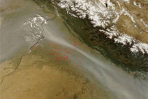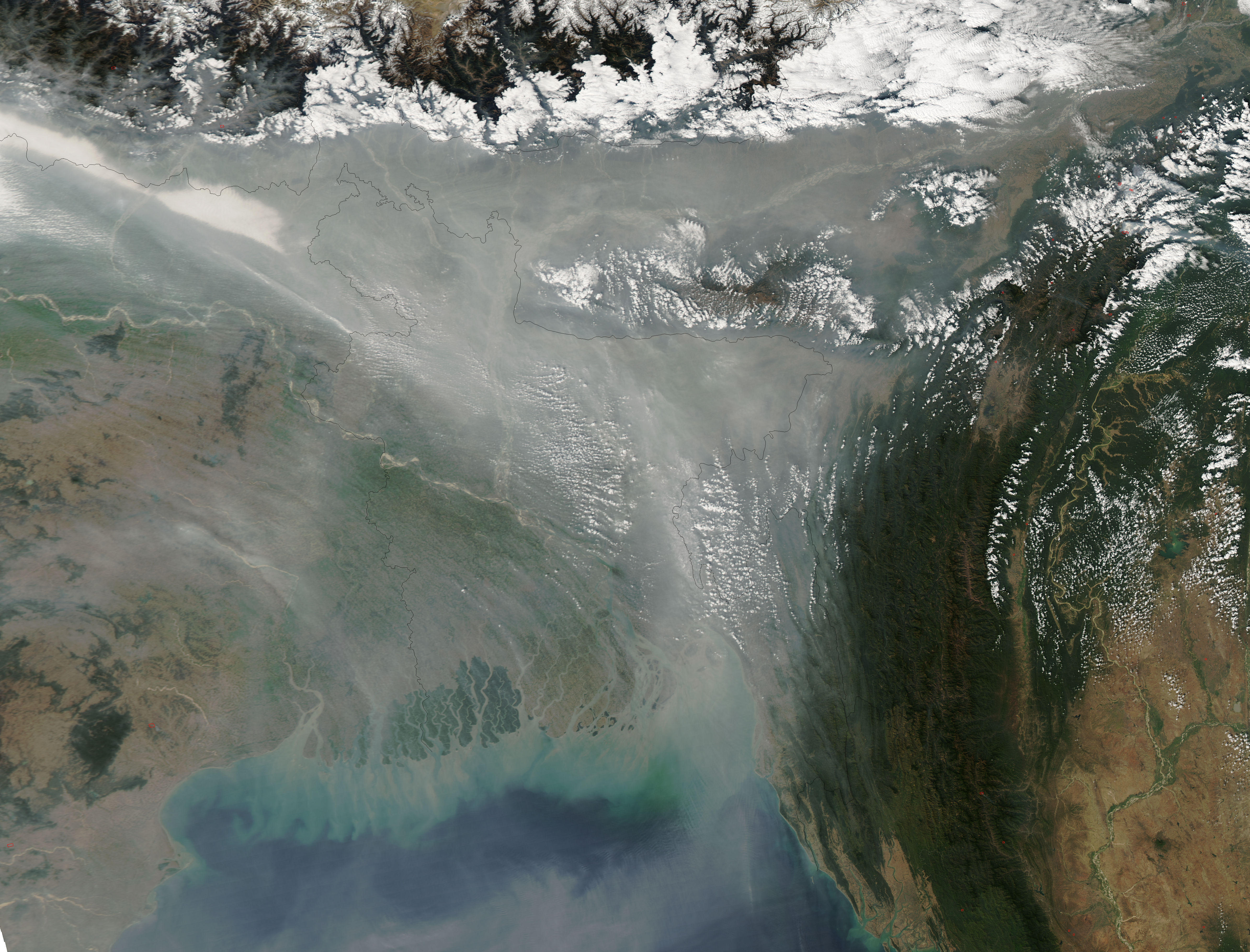
Haze concentrated over Bangladesh on January 20, 2009. The Moderate Resolution Imaging Spectroradiometer (MODIS) on NASA’s Aqua satellite took this picture the same day. In this image, pale gray haze forms an inverted triangle just south of the Himalaya. The haze stretches southward toward the Bay of Bengal along Bangladesh’s eastern border.
East of the haze, isolated red dots indicate agricultural fires or wildfires, but these probably contribute little to the haze. The haze more likely results from urban and industrial pollution in the region.
NASA image courtesy MODIS Rapid Response, NASA Goddard Space Flight Center. Caption by Michon Scott.