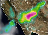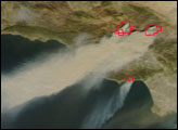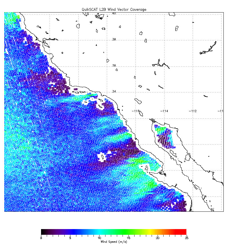
The fires that sprang up in Southern California over the weekend of October 20, 2007, were driven by strong offshore winds, known locally as the Santa Ana Winds. The strength and scope of these winds were observed by NASA’s QuikScat satellite at about 7 a.m. local time October 22. The wind speeds are shown in colors and the direction by small white barbs. The dominant direction of the winds is offshore, from the high deserts of the Great Basin southwest toward the Pacific Ocean. QuikScat measures wind speed over the ocean only, by sending radar pulses to the surface and measuring the strength of the signals returned. The strength and direction of the return signal reveal how winds are stirring the surface of the ocean.
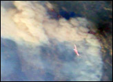
Santa Ana winds are a California firefighter’s nightmare. These blustery, dry, and often hot winds blow out of the high-altitude deserts of the Great Basin and race through canyons and passes in the mountains on their way toward the coast. The air is hot not because it is bringing heat from the desert, but because it is flowing downslope from higher elevations. As fall progresses, cold air begins to sink into the Great Basin deserts to the east of California. As the air piles up at the surface, high pressure builds, and the air begins to flow downslope toward the coast.
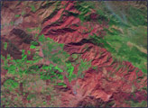
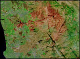
When winds blow downslope, the air gets compressed, which causes it to warm and dry out. In fact, the air can warm at a rate of 10 degrees Celsius per kilometer of descent (29 degrees Fahrenheit per mile). Canyons and passes funnel the winds, which increases their speed. Not only do the winds spread the fire, but they also dry out vegetation, making it even more flammable.
NASA image courtesy the Jet Propulsion Laboratory.