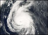
Following the pattern established by Florence, Gordon, and Helene in the 2006 Atlantic hurricane season, Isaac formed in the Central Atlantic, intensified into a hurricane, and then curved east well before approaching the U.S. East Coast. The 2006 Atlantic hurricane season continued to be a welcome respite from the previous year’s onslaught, with not a single hurricane making landfall in the United States as of early October. At that time, including Isaac, there had been 9 named storms, 5 hurricanes, and 2 major hurricanes in the Atlantic—numbers very typical of an average season.
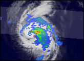
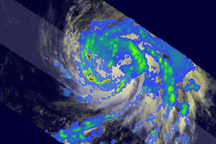
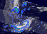
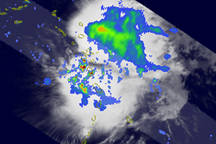
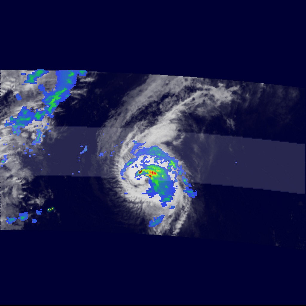
This image of Hurricane Isaac was observed by the Tropical Rainfall Measuring Mission (TRMM) satellite at 12:44 UTC on October 1. At the time, Isaac was passing east-northeast of Bermuda. The eye is not distinct, with the southwestern portion experiencing southwesterly wind shear. Isaac remained a small storm, maintaining Category 1 intensity through until the morning of October 2. By the afternoon, Isaac had weakened back to tropical storm status and was moving quickly to the north-northeast. The center passed southeast of Newfoundland.
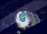
The tropical depression which was to become Hurricane Isaac (TD #9) formed from an African easterly wave that was propagating westward across the Atlantic. These wave-like atmospheric disturbances are a typical trigger for tropical storm formation in the Atlantic. Initially, Isaac changed little in intensity, being hampered by moderate wind shear, dry air, and cool waters left in the wakes of Hurricanes Gordon and Helene. On the afternoon of September 29, however, conditions for development became more favorable as the wind shear relaxed, and the storm began to pass over warmer water. By the morning of September 30, Isaac had become a strong tropical storm. As Isaac moved closer to Bermuda on September 30, it turned north, keeping it well to the east of Bermuda.
The TRMM satellite was placed into service in November 1997. From its low-earth orbit, TRMM provides valuable images and information on storm systems around the tropics using a combination of passive microwave and active radar sensors, including the first precipitation radar in space. TRMM is a joint mission between NASA and the Japanese space agency, JAXA.
Images produced by Hal Pierce (SSAI/NASA GSFC) and caption by Steve Lang (SSAI/NASA GSFC).