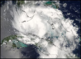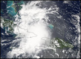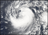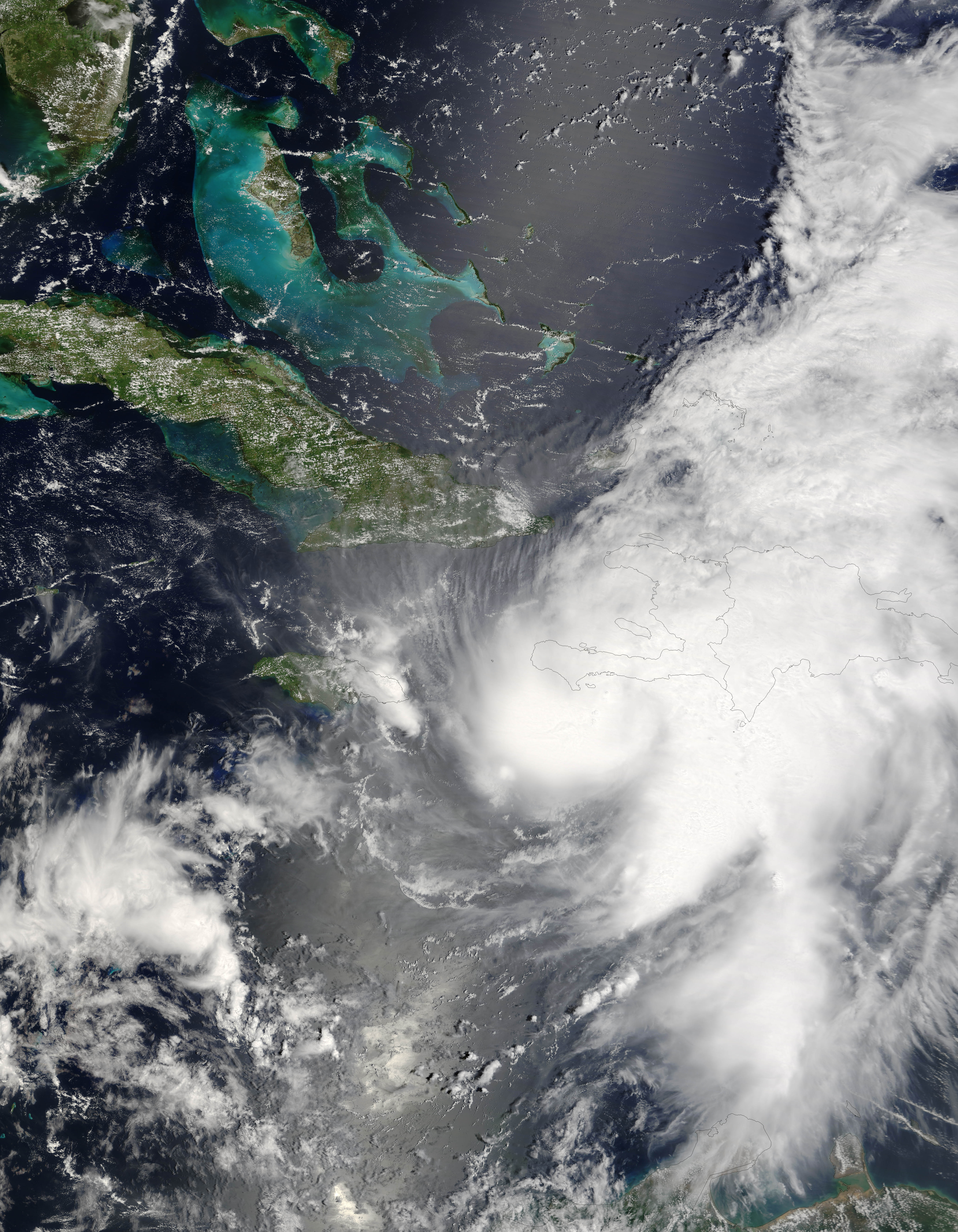
Hurricane Ernesto formed in the eastern Caribbean Sea on August 24, 2006. Within a day, it had become organized enough to be classified as a tropical storm and get named as the fifth storm of the 2006 Atlantic hurricane season, Tropical Storm Ernesto. Ernesto built in power gradually as it moved westward and slightly north through the Caribbean Sea, just reaching hurricane strength on August 27 as it neared Hispaniola, the island on which the nations of Haiti and Dominican Republic are located. Ernesto was the first storm of the 2006 Atlantic season to reach hurricane strength.
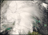
The storm’s interaction with land robbed it of enough power to diminish it back to “tropical storm” status. Forecasts as of August 28 anticipate that Ernesto will remain at tropical storm status until after it crosses Cuba. If predictions made on August 28 hold true, the storm will travel most of the length of Cuba, then cross the Straits of Florida, possibly regaining enough power to become a hurricane again before coming ashore in southern Florida.
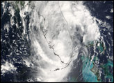
This photo-like image was acquired by the Moderate Resolution Imaging Spectroradiometer (MODIS) on the Terra satellite on August 27, 2006, at 11:50 a.m. local time (15:50 UTC). At the time of this image, Hurricane Ernesto was a well-developed storm system, but its interactions with Hispaniola had started to distort the hurricane enough to rob it of a well-defined eye. According to the University of Hawaii’s Tropical Storm Information Center, Ernesto had sustained peak winds of around 110 kilometers per hour (65 miles per hour) at the time Aqua MODIS acquired these data.
The high-resolution image provided above is provided at the full MODIS spatial resolution (level of detail) of 250 meters per pixel. The MODIS Rapid Response System provides this image at additional resolutions.
NASA image by Jeff Schmaltz, MODIS Rapid Response Team, Goddard Space Flight Center.