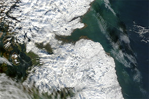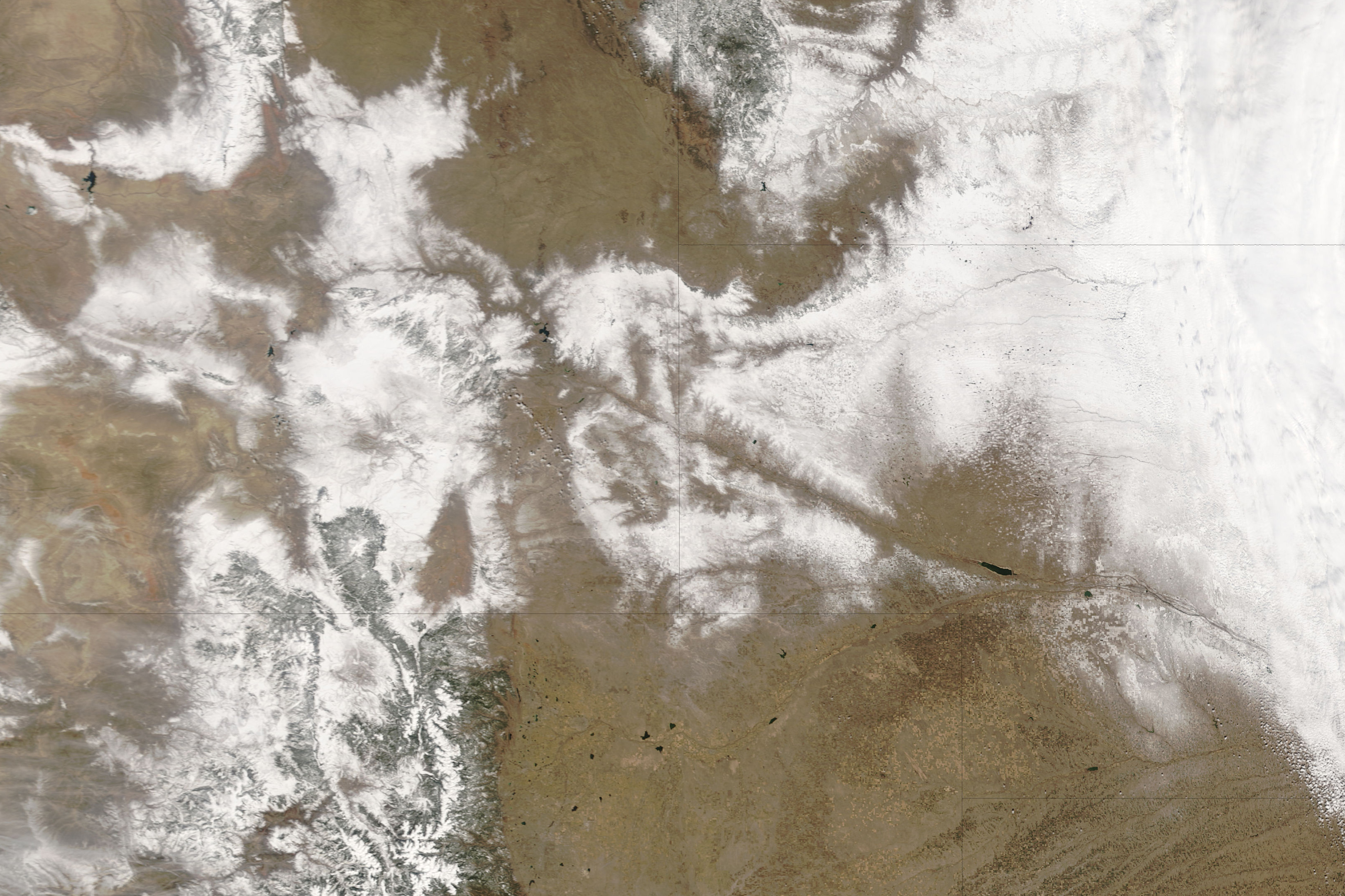
A spring blizzard in Wyoming brought near-zero visibility to Interstate 80 (I-80), one of the major East-West roads in the United States. A 160-kilometer (100-mile) stretch of the highway was closed on March 26, 2006, due to the hazardous conditions between Cheyenne and Rawlins. Before the closure, a 20-car pile-up reportedly resulted in 6 deaths and a large number of injuries, according to the AP wire service. A number of smaller pile-ups occurred elsewhere on the Interstate, and also on U.S. Route 30 near Laramie. Although snow conditions on I-80 between Cheyenne and Laramie were not as severe as conditions west of Laramie, this section of road was nevertheless closed as stranded trucks in Laramie used up all the available parking space. I-80 was reopened to traffic in the morning on March 27, when weather conditions cleared.
This natural-color image was acquired by the Moderate Resolution Imaging Spectroradiometer (MODIS) on the Terra satellite on the morning of March 27, 2006, not long after state police in Wyoming declared conditions clear enough to permit traffic to flow again. The heavy snowfall through the mountains to the west of Laramie clearly shows where the blizzard blanketed the landscape in snow. The thin line of I-80 is just barely detectible at MODIS’ 250-meter spatial resolution (level of detail). In the high-resolution image, the grid patterns of the streets of Cheyenne and Laramie can also be seen.
NASA image created by Jesse Allen, Earth Observatory, using data provided courtesy of the MODIS Rapid Response team.