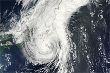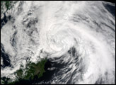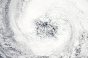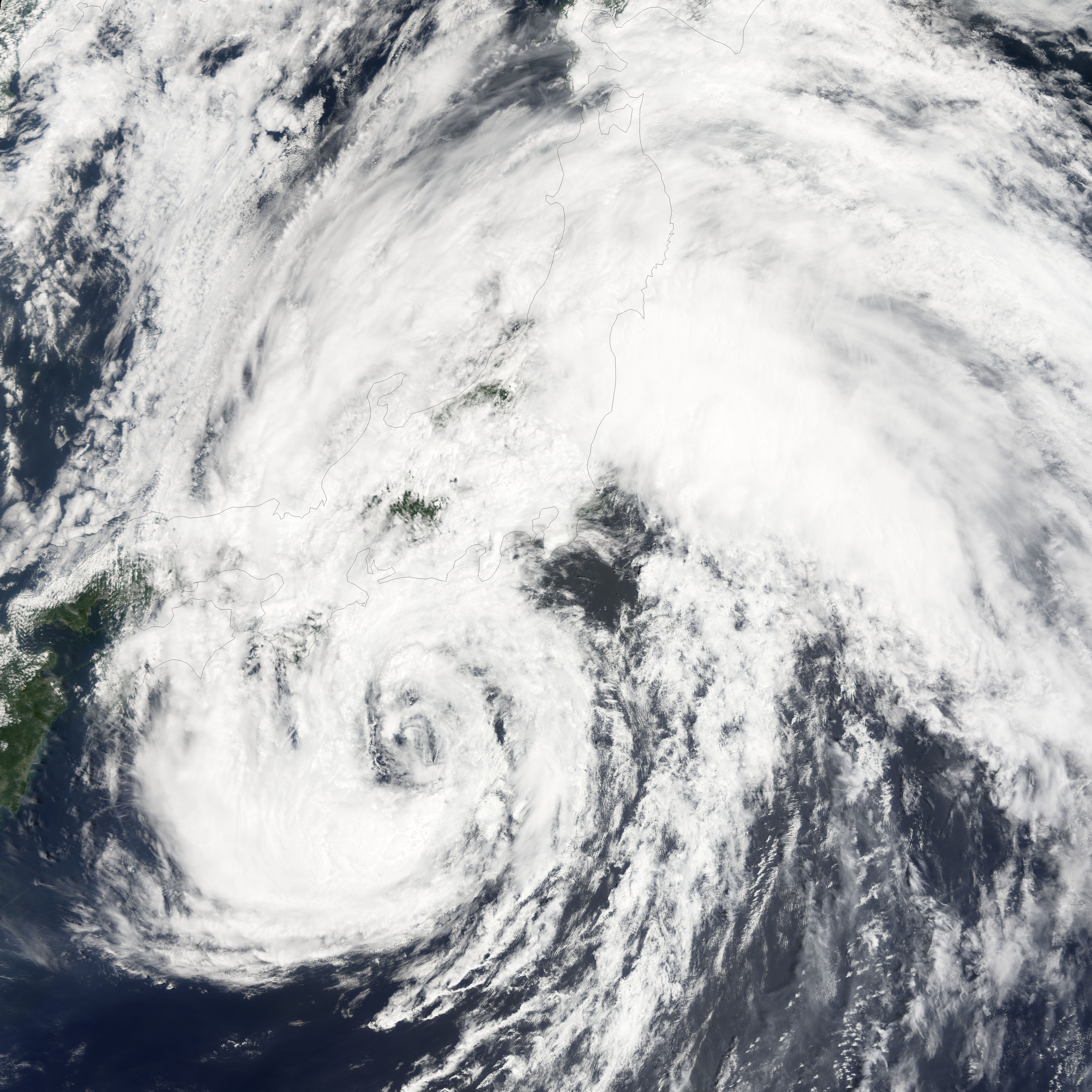
Tropical Storm Banyan first began forming in the northwest Pacific as a tropical depression on July 21, 2005. For the most part, Banyan has stayed away from land, wandering northward from the Mariana Islands towards Tokyo. It gained strength as it travelled, reaching a peak strength on July 24 with winds around 110 kilometers per hour (60 knots), which are dramatic but still below typhoon status.
This image shows Tropical Storm Banyan somewhat past this peak on the morning of July 26, when it was traveling towards the main island of Japan and threatening Tokyo. This image was acquired at 01:25 UTC (10:25 AM Tokyo time) on July 26, 2005, by the Moderate Resolution Imaging Spectroradiometer (MODIS) on NASA’s Terra satellite. At this time, wind speeds were dropping to around 90 km/hr (50 knots). The storm is expected to hit Tokyo late on July 26 and move along the coast through most of the following day. Heavy rain is falling from the storm, and flights in and out of Narita airport in Tokyo have been cancelled. Public transportation shut down in areas expected to be most affected.
Banyan is the seventh named Pacific storm system of the year, but none have caused major damage in Japan. In 2004, a record ten typhoons struck Japan, including Typhoon Tokage which killed 90 people. It was the deadliest storm in twenty five years.
NASA image created by Jesse Allen, Earth Observatory, using data obtained from the MODIS Rapid Response team.