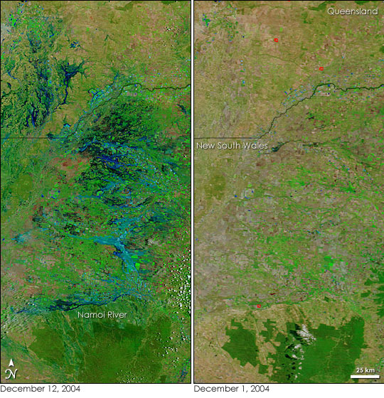
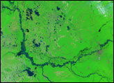
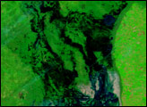
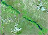
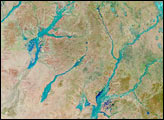
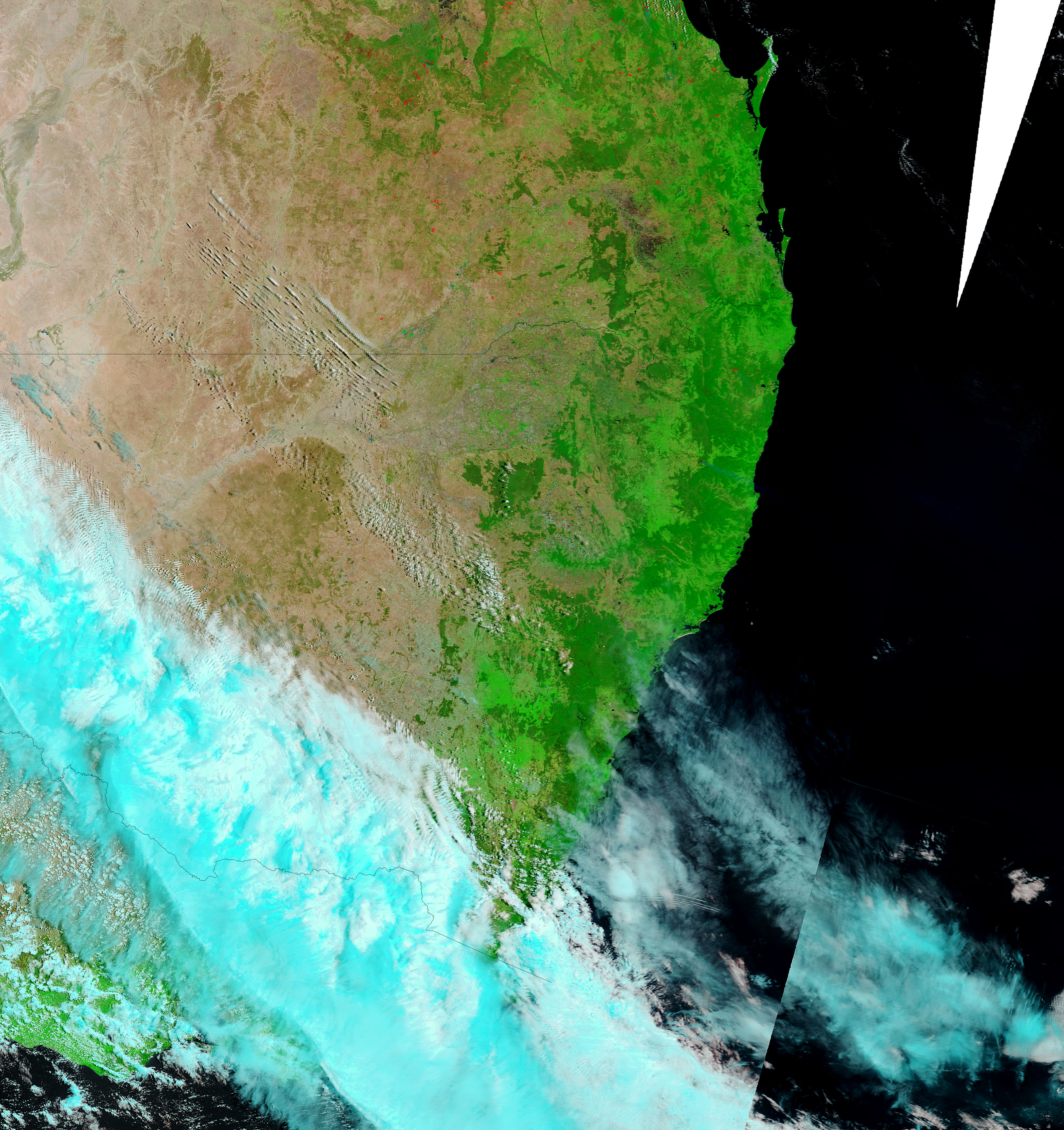
After a dry spring, heavy rains drenched much of eastern Australia on December 10, 2004. Rivers in northern New South Wales and southern Queensland flooded, making them almost indistinguishable from one another in the left Moderate Resolution Imaging Spectroradiometer (MODIS) image, collected on December 12, by NASA’s Terra satellite. The swollen Namoi River, the southernmost river shown here, has cut off the town of Wee Waa, and several rural properties have been isolated in the floods.
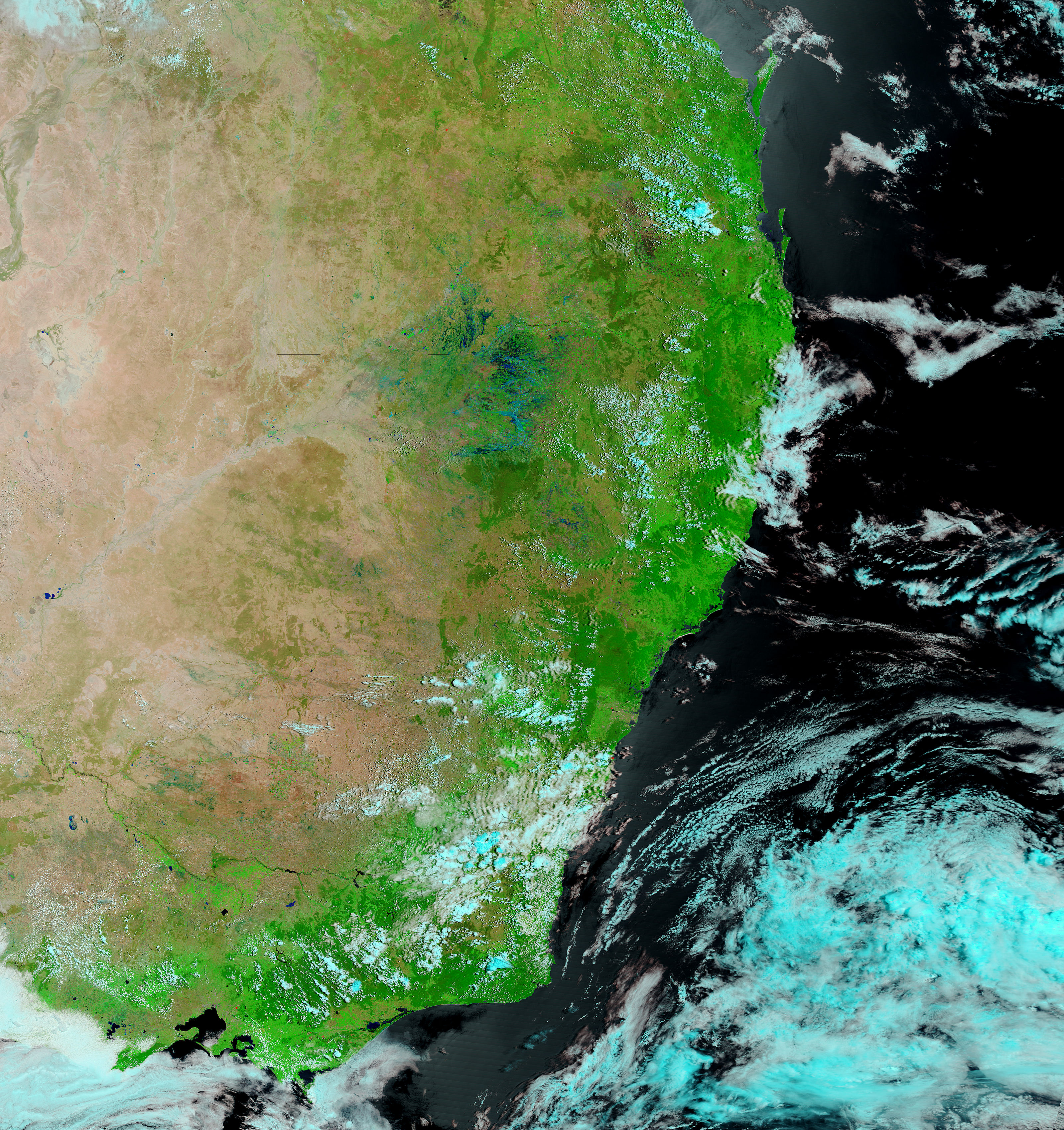
The bright green squares formed by agricultural fields mingle with flood waters on December 12. While the floods caused minor damage to summer crops and cotton in the area, according to local media reports, the rains are a relief to farmers. The greening effect of the downpour can be seen in the contrast between the two above false-color images. On December 1, farmland, presumably irrigated, is bright green. The natural vegetation of Mt. Kaputar National Park, bottom center, is dark green, while the surrounding land remains tan. Two weeks later, on December 12, the boundaries of the park blend with the surrounding vegetation, now green from the early summer rain.
Images courtesy the MODIS Rapid Response Team at NASA GSFC. Both the December 12 and December 1 images are available in additional resolutions.


