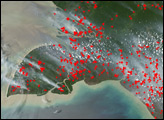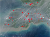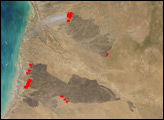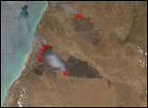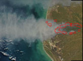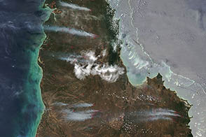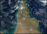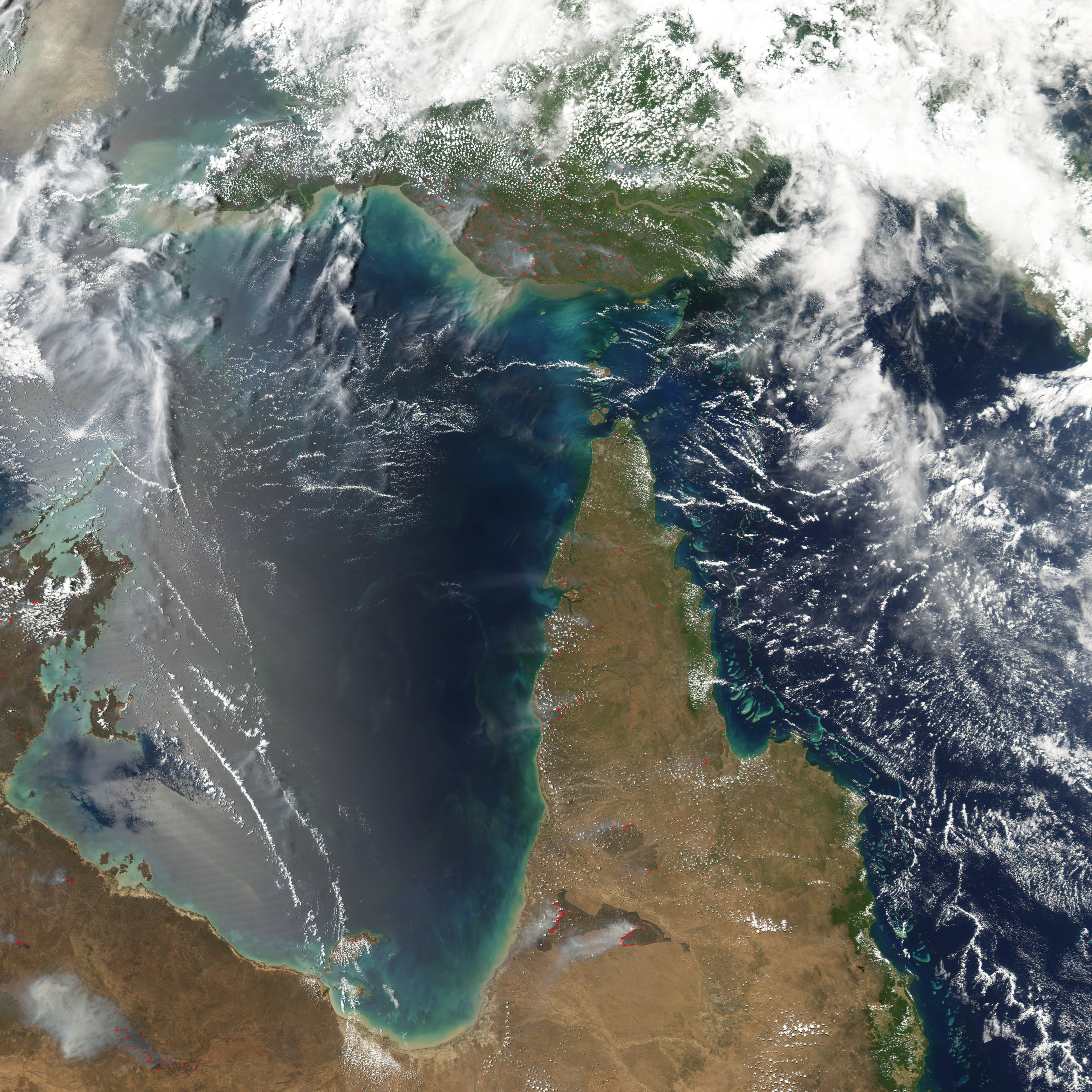
In early October, fires (marked in red) were burning across northern Australia (bottom) and New Guinea (top). This Moderate Resolution Imaging Spectroradiometer (MODIS) image from the Aqua satellite on October 4, 2004, shows several large, intense fires across the grasslands and savannas of the Cape York Peninsula (right) and Northern Territory (left). The burned areas stand out in deep brown against the dun-colored landscape.
In Australia, even before the arrival of Europeans, the grasslands and savannas of northern Australia were being managed by Aboriginal people through controlled use of fire. According to the Cooperative Research Centre for Tropical Savannas Management, land managers in Cape York and other parts of northern Australia are re-instituting the Aboriginal practice of “storm burns,” very hot fires set late in the dry season (just before the return of the rains) when fuel levels are high.
These intense burns appear to be necessary to prevent the invasion of woody shrubs and trees and to maintain native grasses. MODIS cannot tell the difference between a prescribed fire and a natural one, but images such as this give a clear picture of the amount of burning across wide areas of the continent.
NASA image created by Jesse Allen, Earth Observatory, using data obtained from the Goddard Earth Sciences DAAC.