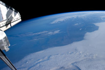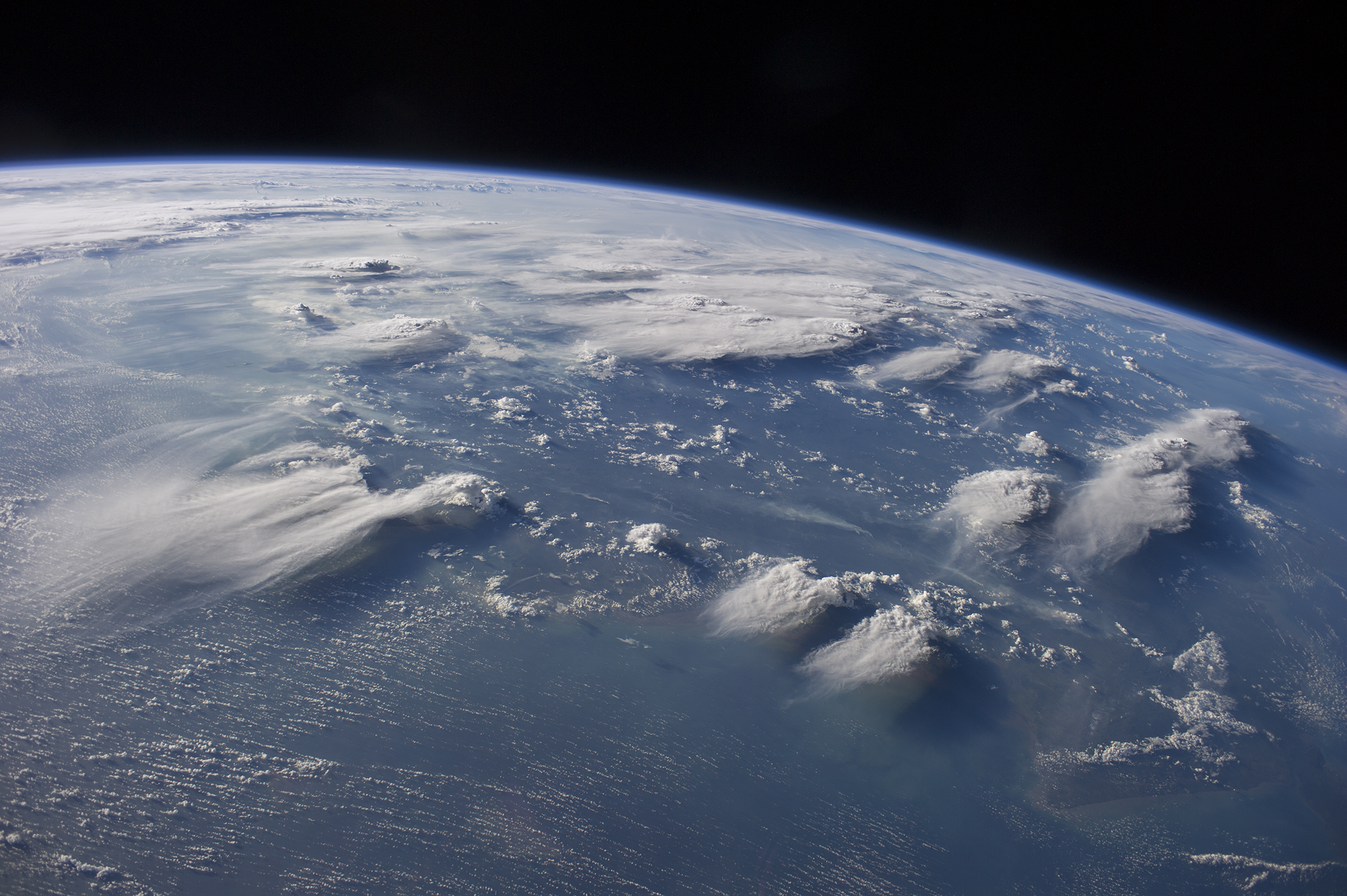
Crews aboard the International Space Station (ISS) have recently focused their cameras on panoramic views of clouds. Many of the photographs have been taken with lenses similar to the focal length of the human eye. Such images help us see Earth the way ISS crews see it from their perch 350 kilometers above—with a strong three-dimensional sense and a broad view of the planet.
In this image, late afternoon sunlight casts long shadows from thunderhead anvils down onto southern Borneo. Near the horizon (image top center), more than 1000 kilometers away from the space station, storm formation is assisted by air currents rising over the central mountains of Borneo.
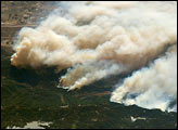
Winds usually blow in different directions at different altitudes. At the time of this photo, high-altitude winds were clearly sweeping the tops off the many tallest thunderclouds, generating long anvils of diffuse cirrus plumes that trail south. At lower levels of the atmosphere, “streets” of white dots—fair-weather cumulus clouds—are aligned with west-moving winds. Small smoke plumes from forest fires in Borneo are also aligned west.
Astronaut photograph ISS040-E-88891 was acquired on August 5, 2014, with a Nikon D3S digital camera using a 28 millimeter lens, and is provided by the ISS Crew Earth Observations Facility and the Earth Science and Remote Sensing Unit, Johnson Space Center. The image was taken by the Expedition 40 crew. It has been cropped and enhanced to improve contrast, and lens artifacts have been removed. The International Space Station Program supports the laboratory as part of the ISS National Lab to help astronauts take pictures of Earth that will be of the greatest value to scientists and the public, and to make those images freely available on the Internet. Additional images taken by astronauts and cosmonauts can be viewed at the NASA/JSC Gateway to Astronaut Photography of Earth. Caption by M. Justin Wilkinson, Jacobs and Michael Trenchard, Barrios Technology at NASA-JSC.
alert message