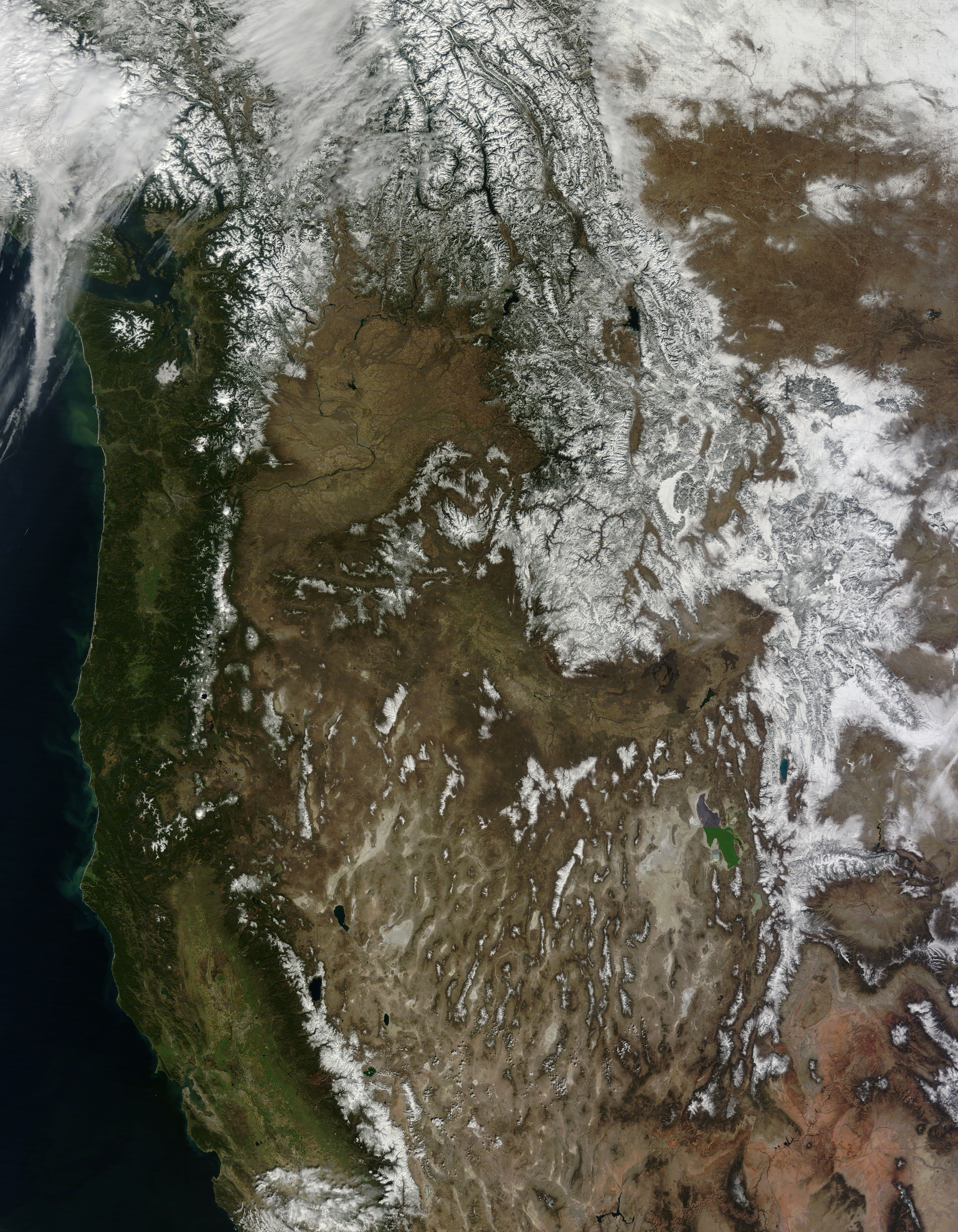
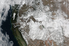
The winter of 2013–2014 was a study in contrasts between mountains in the far western United States and in the interior West. While people waited in vain for winter snow in California and the Pacific Northwest, snow piled onto the Rocky Mountains in Montana and Wyoming. The contrast is embodied in this image, acquired by the Moderate Resolution Imaging Spectroradiometer (MODIS) on NASA’s Terra satellite on March 12, 2014.
For most of the winter, a persistent ridge—an area of high pressure—was parked just offshore over the Pacific Ocean, blocking storms from moving over California and the Pacific Northwest. Storm systems steered around the ridge, moving north into Canada and then south over the interior West. Both Montana and Wyoming received above normal precipitation. Billings, Montana had its wettest February on record, with precipitation 429 percent above normal, according to the National Climatic Data Center.
February 2014 gave the far West a bit of a break, and some of that snowfall is evident in the image, too. A few storms broke through the ridge until the northern Cascade mountains had accumulated more than 100 percent of normal snowfall. Snow in the Sierras increased to 30 to 50 percent of normal.
NASA image courtesy Jeff Schmaltz, LANCE/EOSDIS MODIS Rapid Response Team at NASA GSFC. Caption by Holli Riebeek.
alert message


