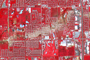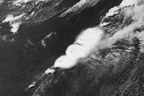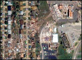
On May 20, 2013, central Oklahoma was devastated by a EF-5 tornado, the most severe on the enhanced Fujita scale. The Newcastle-Moore tornado killed at least 24 people, injured 377, and affected nearly 33,000 in some way. Early estimates suggest that more then $2 billion in damage was done to public and private property; at least 13,000 structures were destroyed or damaged. It was the deadliest tornado in the United States since an EF-5 event killed 158 people in Joplin, Missouri, in 2011.
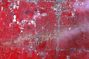
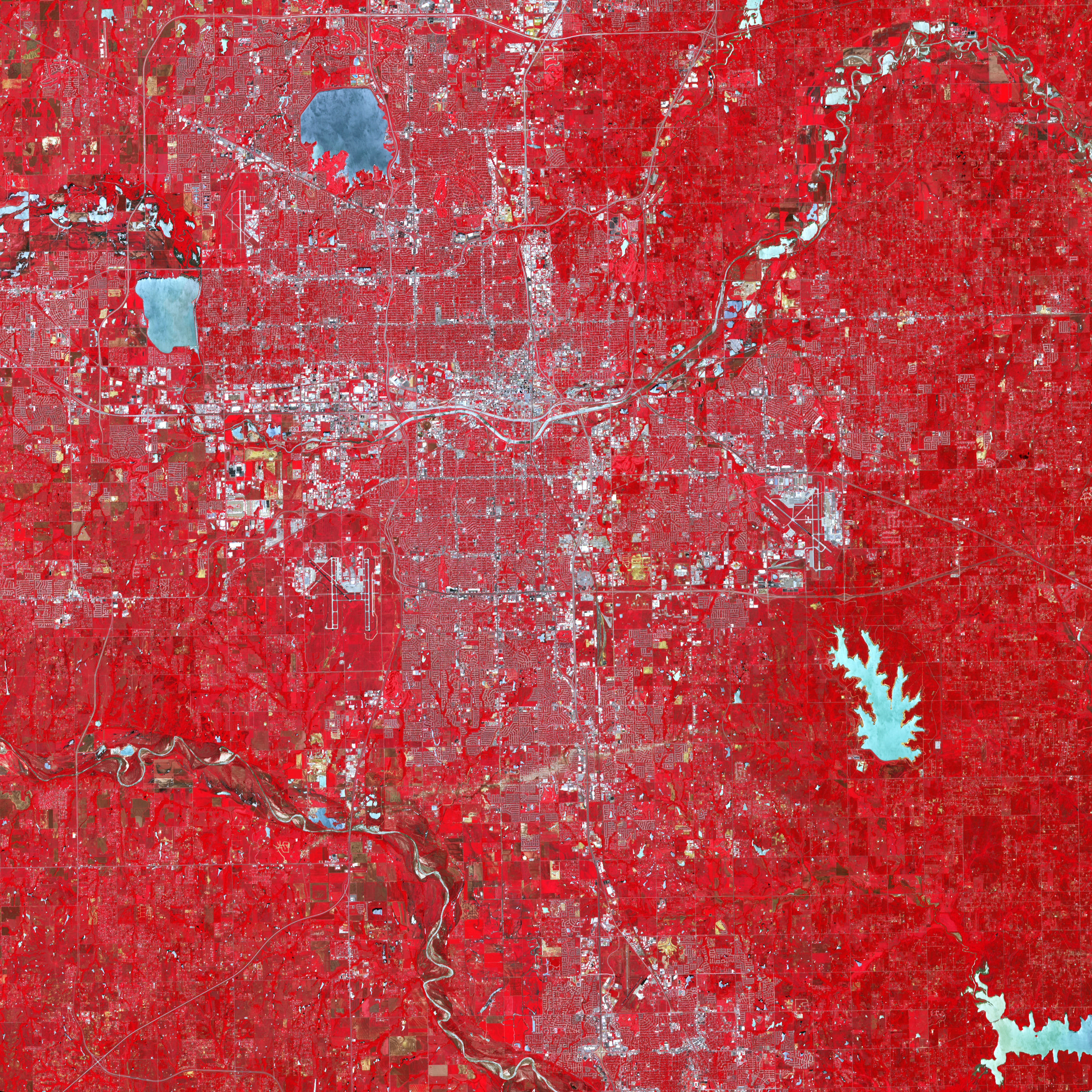
On June 2, 2013, the Advanced Spaceborne Thermal Emission and Reflection Radiometer (ASTER) on NASA’s Terra satellite observed the scar of that tornado on the Oklahoma landscape. In this false-color image, infrared, red, and green wavelengths of light have been combined to better distinguish between water, vegetation, bare ground, and human developments. Water is blue. Buildings and paved surfaces are blue-gray. Vegetation is red. The tornado track appears as a beige stripe running west to east across this image; the color reveals the lack of vegetation in the wake of the storm.
According to the National Weather Service, the tornado was on the ground for 39 minutes, ripping across 17 miles (27 kilometers) from 4.4 miles west of Newcastle to 4.8 miles east of Moore, Oklahoma. At its peak, the funnel cloud was 1.3 miles (2.1 kilometers) wide and wind speeds reached 210 miles (340 km) per hour.
NASA Earth Observatory image created by Robert Simmon, using data provided courtesy of NASA/GSFC/METI/ERSDAC/JAROS, and the U.S./Japan ASTER Science Team. Caption by Mike Carlowicz.