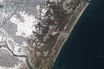
Cat Island is one of 29 islands, 661 cays, and 2,387 islets that form the Commonwealth of the Bahamas. Named San Salvador prior to 1925, Cat Island has been put forward as a candidate for where Christopher Columbus may have made his first landfall in the Americas.
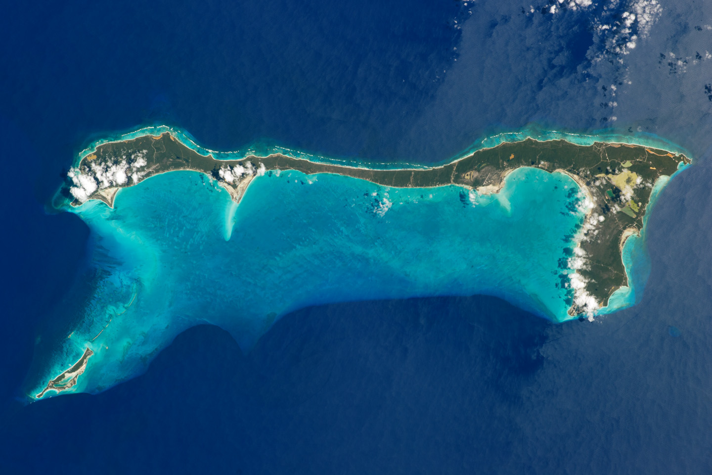
Mount Alvernia—the highest point in the Bahamas, with an elevation of approximately 63 meters (206 feet) above sea level—is located on the southeastern part of the island. Like most other islands in the Bahamas, Cat Island is located on a large depositional platform that is composed mainly of carbonate sediments and surrounding reefs. The approximately 77 kilometer-long island (48 miles) is the part of the platform continuously exposed above water, which allows for soil development (brown to tan areas) and the growth of vegetation.
Shallow water to the west-southwest (below the island in this view) appears bright blue, in contrast to the deeper ocean waters to the north, east, and south. In this astronaut photograph, the ocean surface near the southeastern half of the island has a slight grey tinge due to sunglint, or light reflecting off the water surface back towards the International Space Station. Small white cumulus clouds obscure some parts of the island.
Cat Island is inhabited, and had a total population of 1,647 in 2000, according to the Department of Statistics of the Bahamas. The smaller island of Little San Salvador to the west is privately owned and used as a port of call for cruise ships.
Astronaut photograph ISS026-E-33193 was acquired on March 10, 2011, with a Nikon D3S digital camera using an effective 135 mm lens, and is provided by the ISS Crew Earth Observations experiment and Image Science & Analysis Laboratory, Johnson Space Center. The image was taken by the Expedition 26 crew. The image has been cropped and enhanced to improve contrast. Lens artifacts have been removed. The International Space Station Program supports the laboratory as part of the ISS National Lab to help astronauts take pictures of Earth that will be of the greatest value to scientists and the public, and to make those images freely available on the Internet. Additional images taken by astronauts and cosmonauts can be viewed at the NASA/JSC Gateway to Astronaut Photography of Earth. Caption by William L. Stefanov, NASA-JSC.