The Earth Observatory has published its last Image of the Day on this website. Please join us on our new home at science.nasa.gov/earth/earth-observatory.
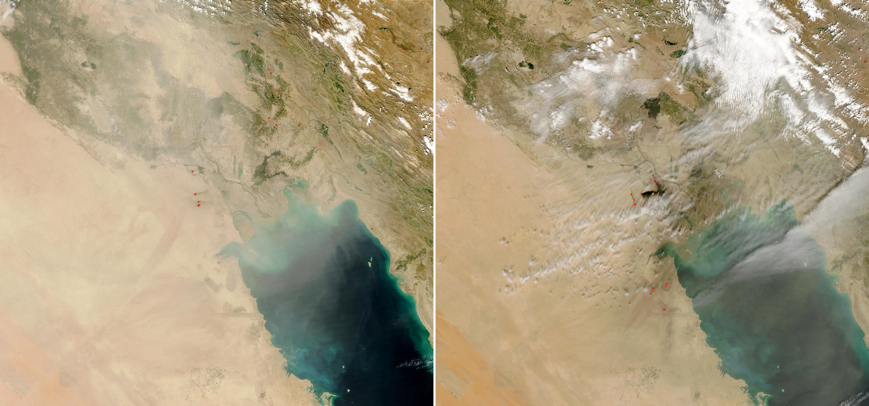
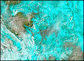
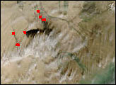
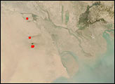
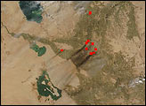
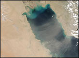
These images of Iraq, Kuwait, and parts of Saudi Arabia and Iran were acquired by the Moderate Resolution Imaging Spectroradiometer (MODIS) on the Aqua and Terra satellites on March 20 and 21, 2003. The images show dust over the Middle East and the Persian Gulf, as well as several thermal anomalies detected by MODIS that have been marked with red dots or outlines. Large plumes of black smoke are associated with some of the hot spots in the central part of the image and locations are consistent with known oil well locations. It is not uncommon for MODIS to see thermal signatures at the numerous oil wells in the area; however, the amount of smoke being produced on March 21 is larger than normal.
The high-resolution image provided above is a sub-section of a 500-meter resolution image. The MODIS Rapid Response System provides images of the full scene at MODIS’ maximum spatial resolution of 250 meters (March 20) and (March 21).
More event-related imagery is available in the Natural Hazards Section of the site.
Image courtesy Jacques Descloitres, MODIS Rapid Response Team at NASA GSFC