high resolution images
September 10, 2002
September 29, 2002
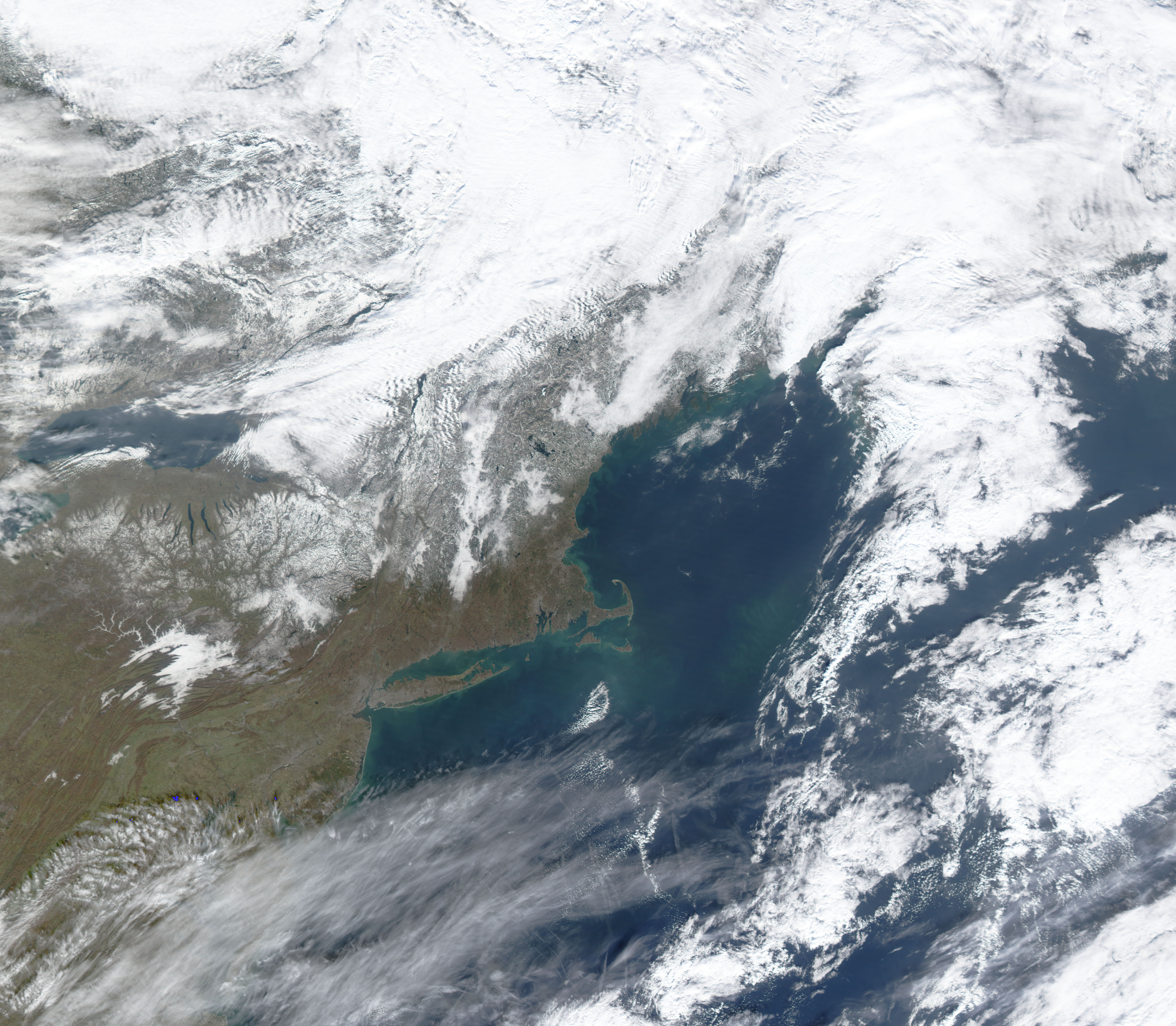
October 6, 2002
October 31, 2002
November 7, 2002
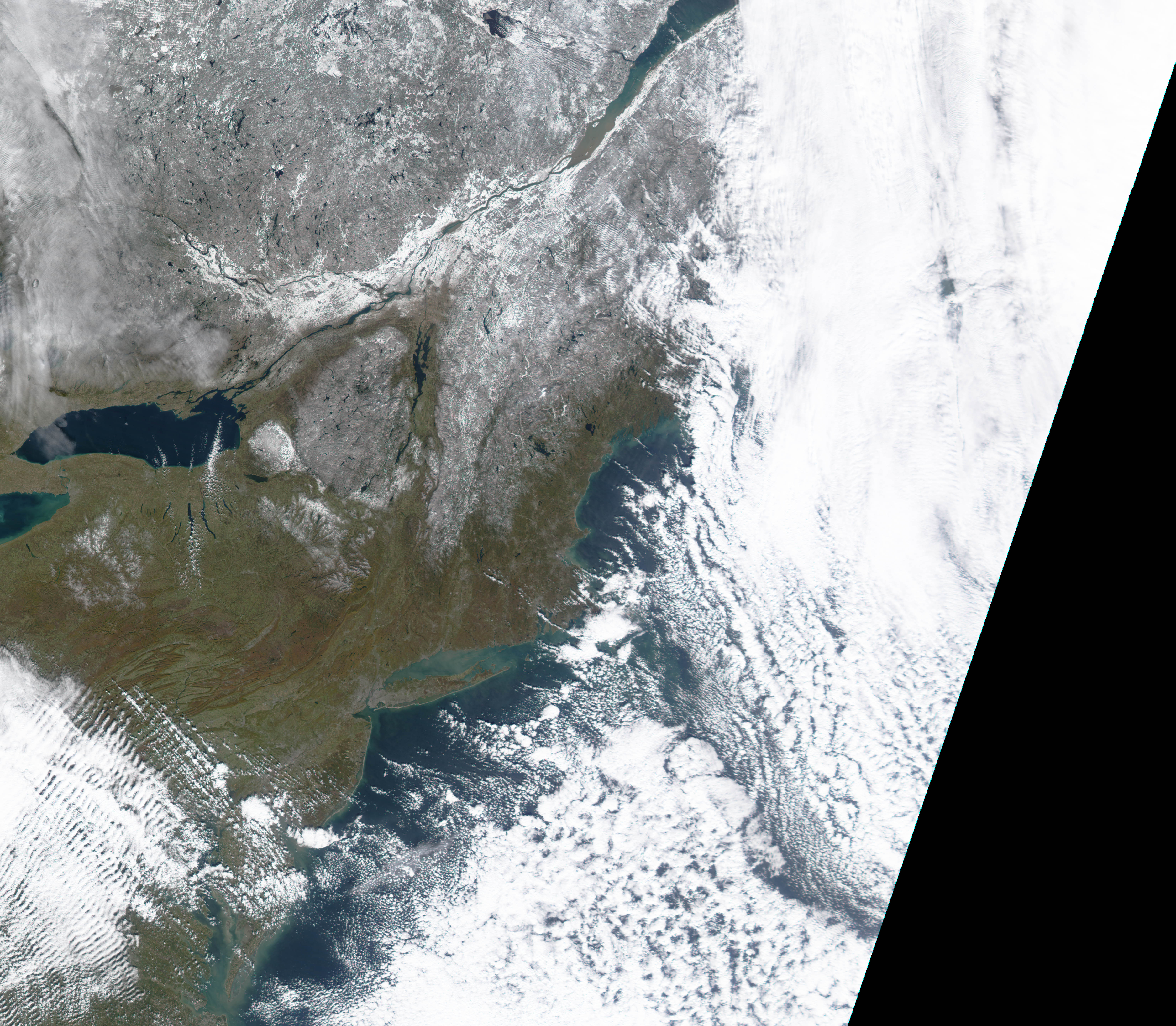
November 14, 2002
November 20, 2002
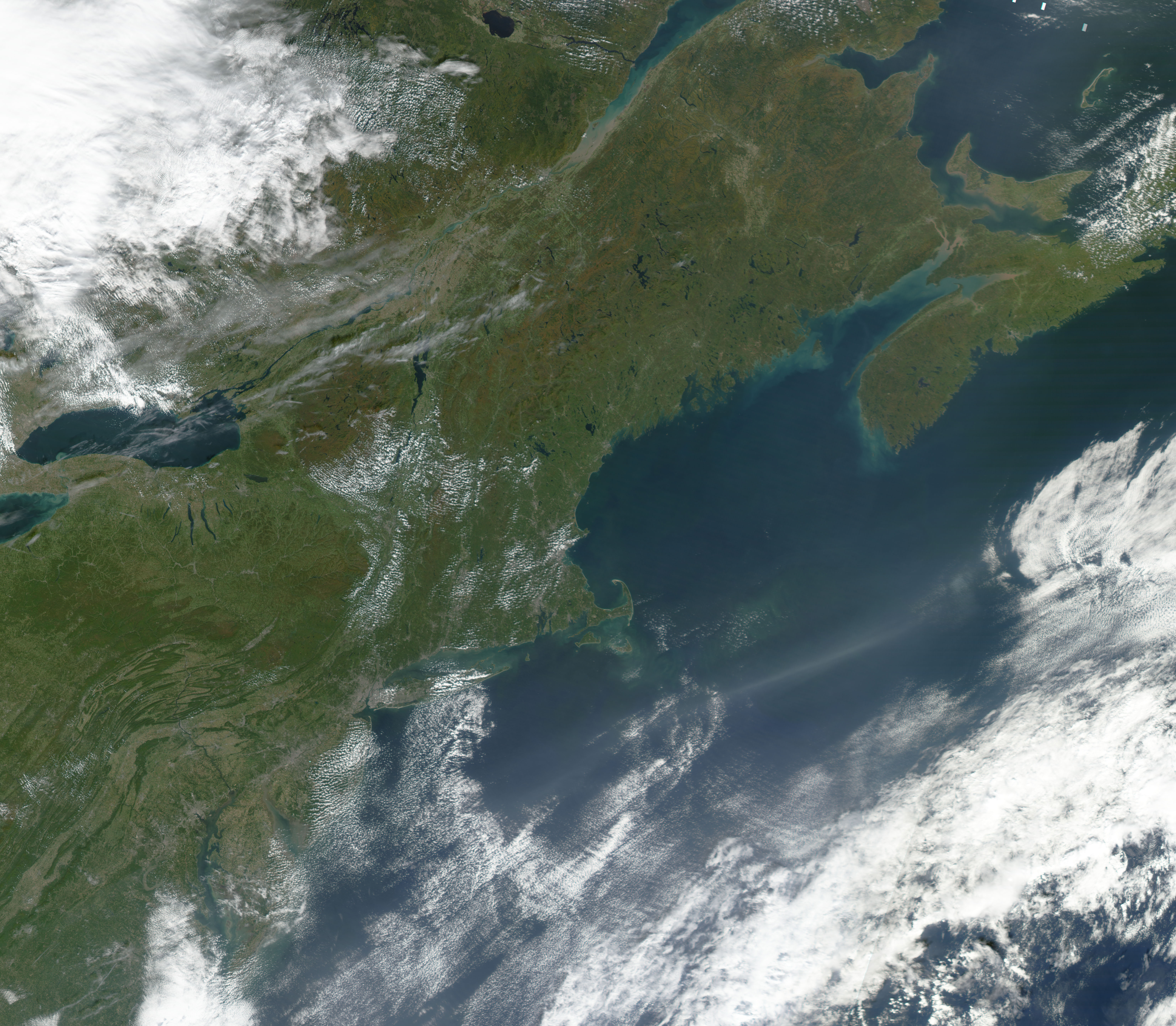
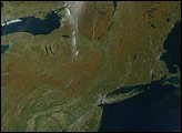
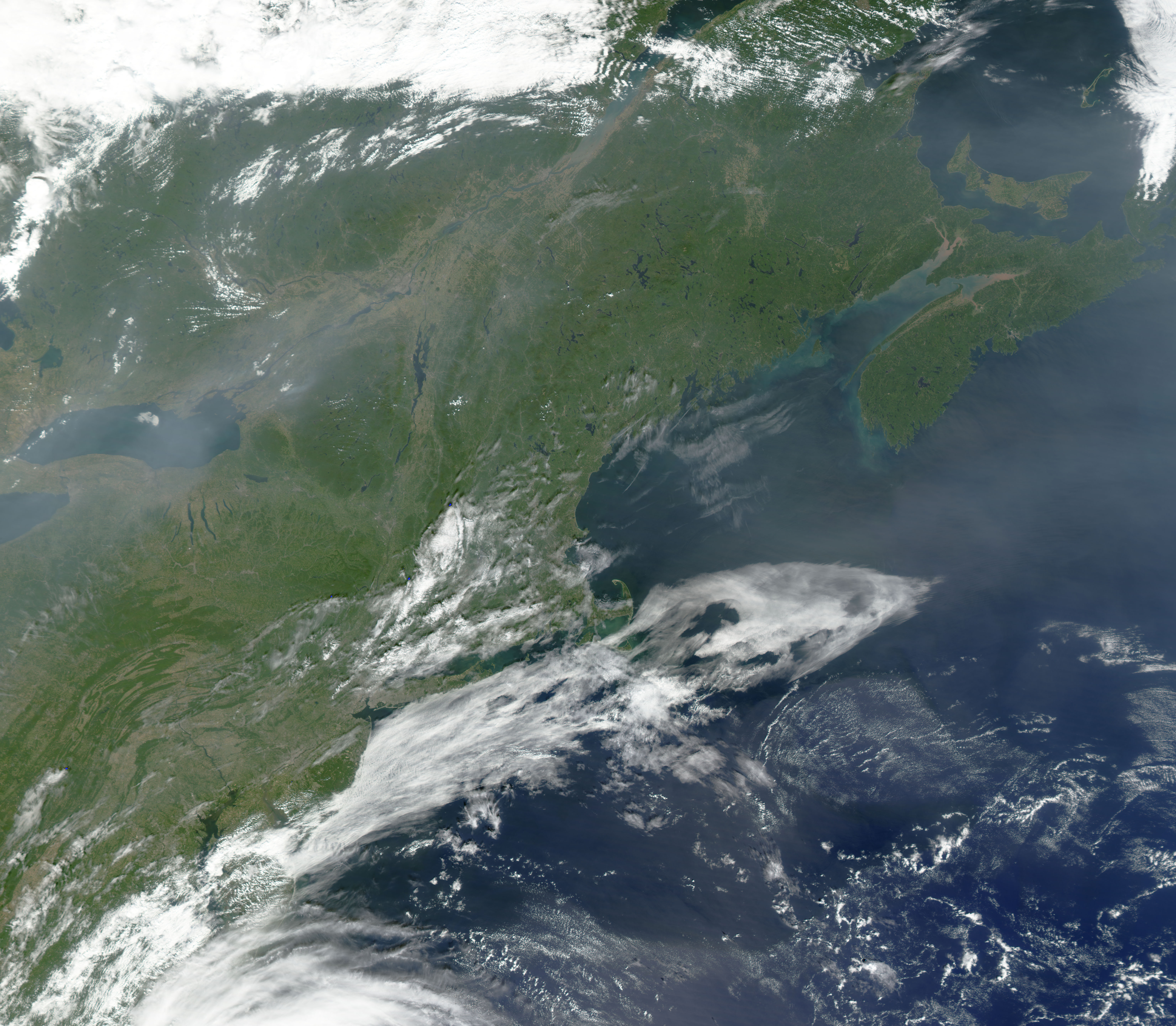
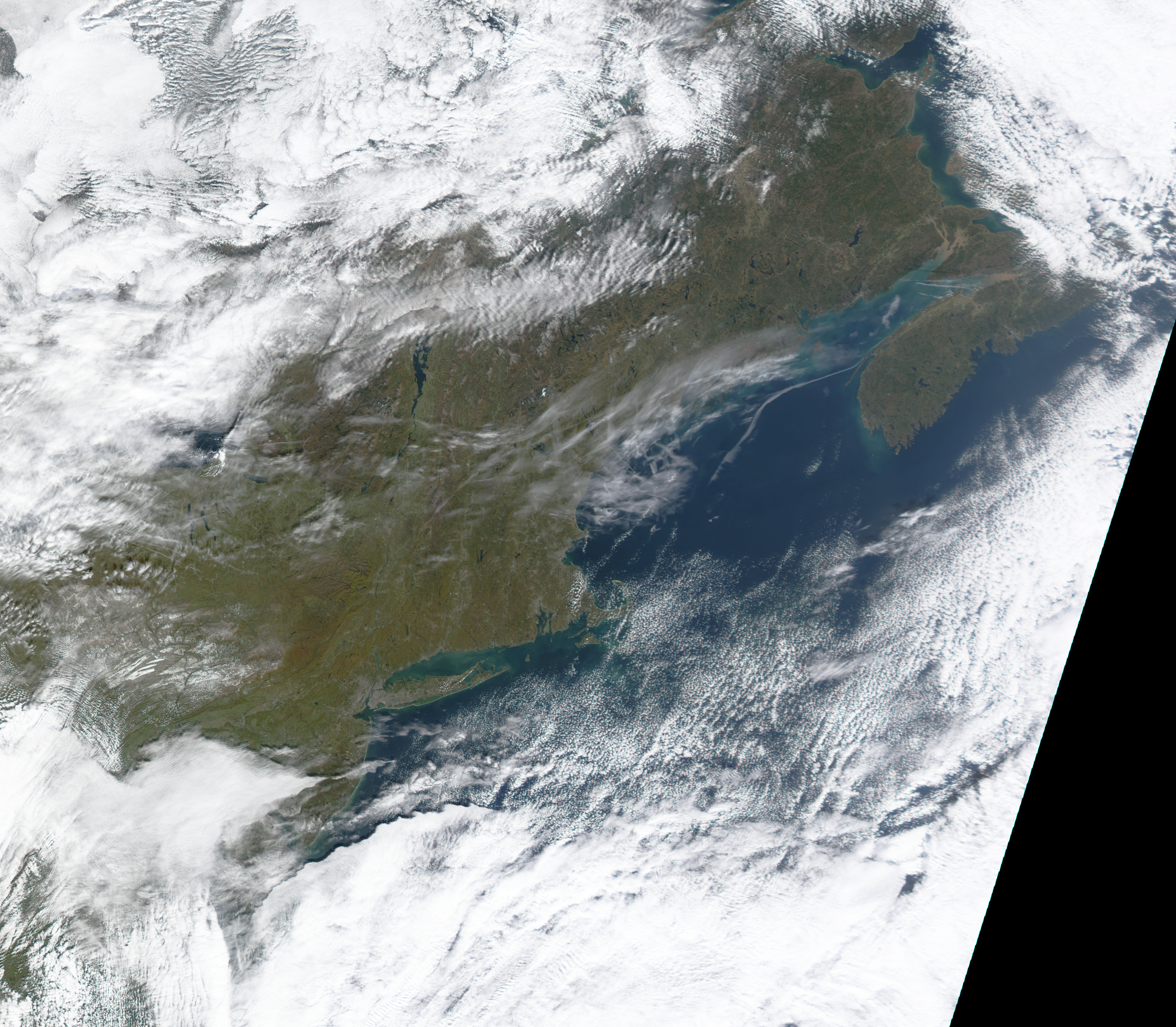
In mid-September, when the series begins, the only hint of change to come is a drabness of the normally deep green color that stretches from Nova Scotia, Canada, (top right) down through New England and past Lake Ontario (left), and into Pennsylvania (bottom left). By early October, a hint of color had moved southwestward from southeastern Canada into Maine, New Hampshire, Vermont, and New York. By early-November, a snow storm had covered these areas, while snow-free areas far to the south had turned a deep, rich brown. At the bottom left of the final image, a few swaths of pale green can still be seen in the low-lying areas between the Appalachians and the Atlantic Coast.
Air pollution plagues the region off and on during this period. A haze of aerosols stretches across most of the first image and wafts over the Atlantic off the coast of Massachusetts in the center image.
Images courtesy Jesse Allen, NASA’s Earth Observatory, based upon data provided by the MODIS Land Rapid Response Team at NASA GSFC.

