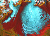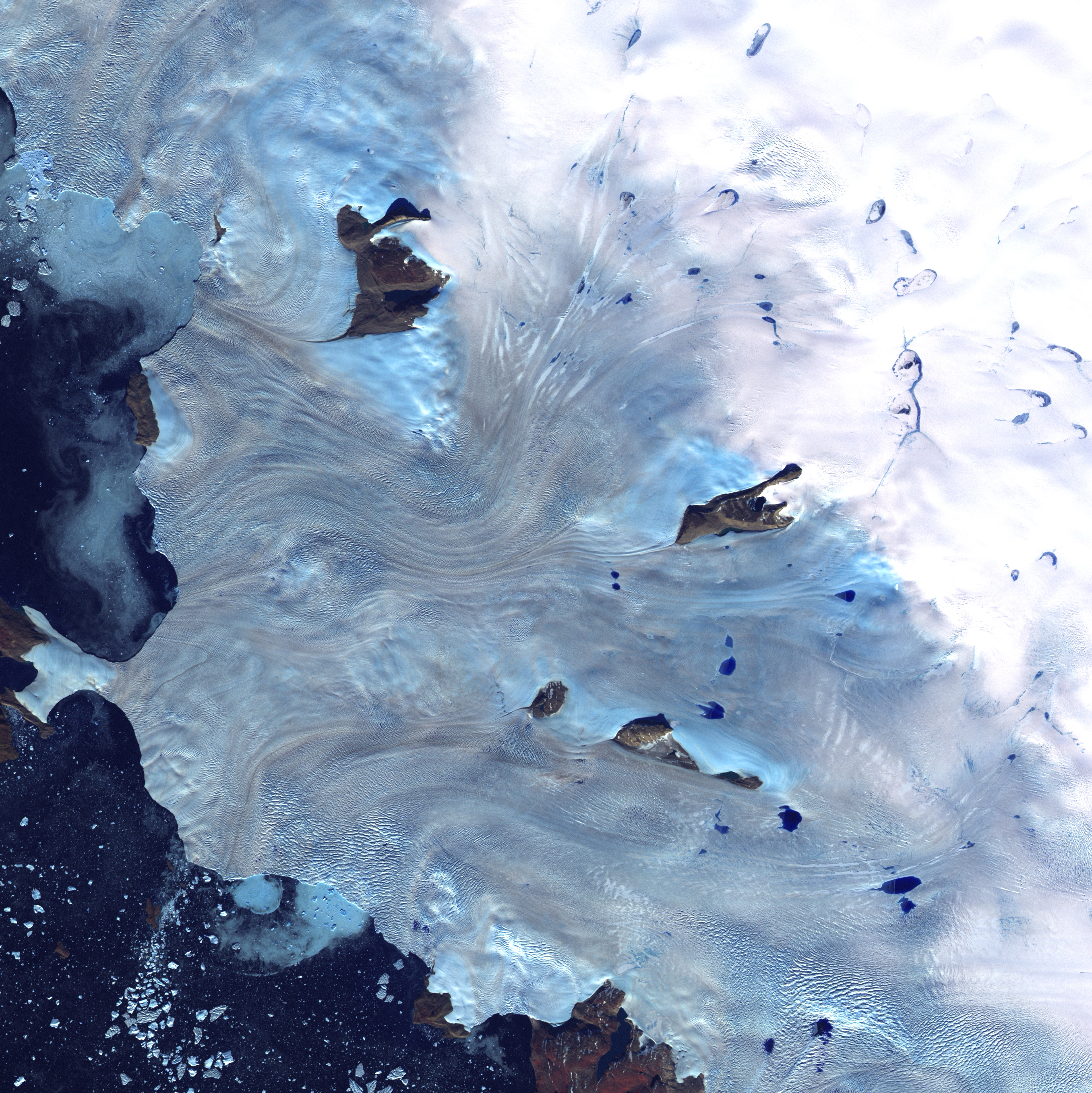
Along Greenland's western coast, a small field of glaciers surrounds Baffin Bay.
This image was acquired by Landsat 7's Enhanced Thematic Mapper plus (ETM+) sensor on September 3, 2000. This is a false-color composite image made using near-infrared, red, and blue wavelengths. The image has also been sharpened using the sensor's panchromatic band.
Image provided by the USGS EROS Data Center Satellite Systems Branch