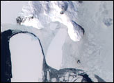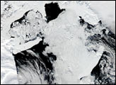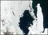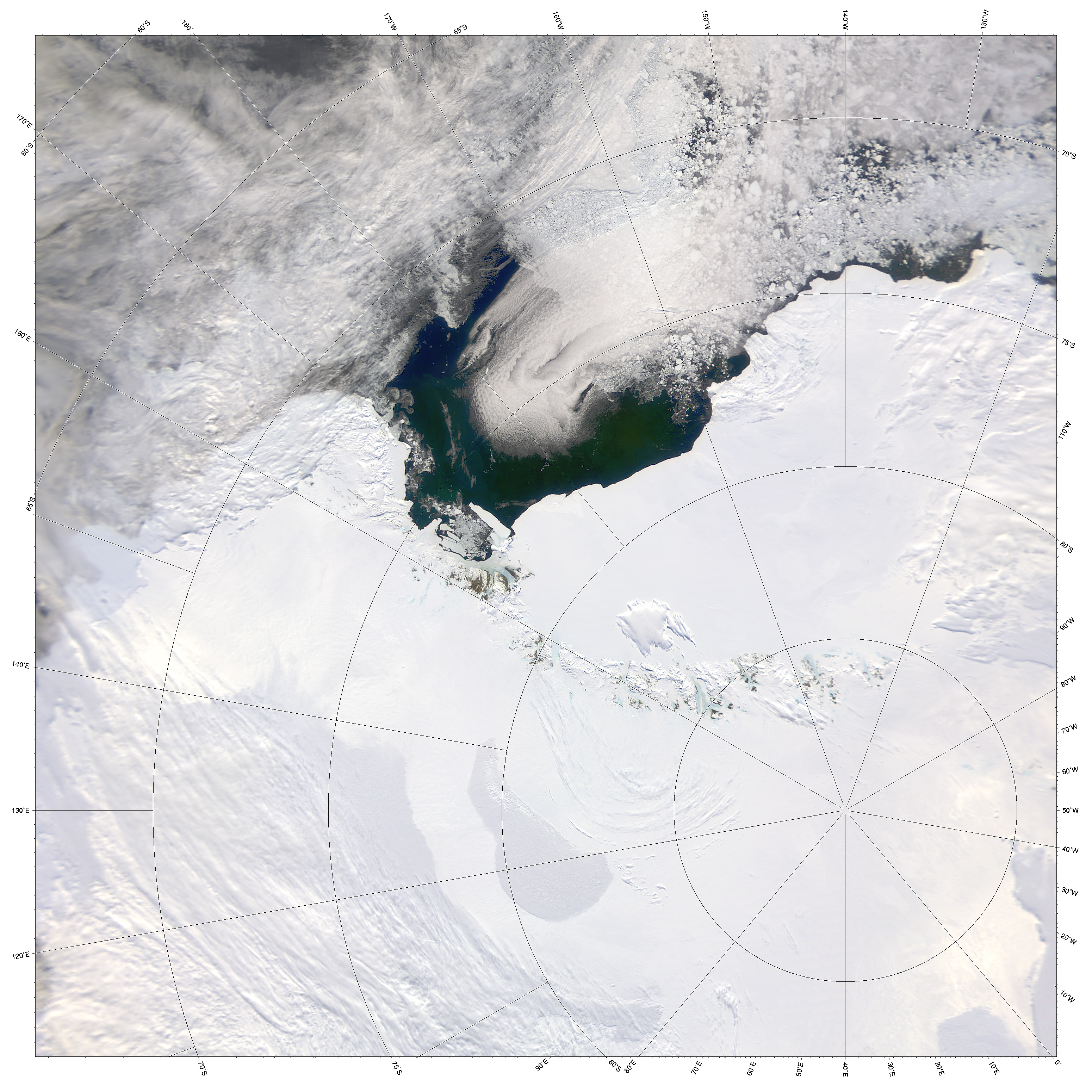
This image shows a rare clear view of the South Pole (lower right) and the Ross Sea, Antarctica. The Sea-viewing Wide Field-of-view Sensor (SeaWiFS) acquired the scene on December 26, 2001.
The geographic South Pole is located in the center of Antarctica, at an altitude of 2,900 meters (9,300 feet). It rests on a continent-wide ice sheet that is 2,870 m thick, with the underlying bedrock only 30 m (98 feet) above sea level. The ice underlying the South Pole is as much as 140,000 years old, and is currently accumulating at about 82 cm (32 inches) per year.
Roughly 2,500 km (1,550 miles) away is the green water of the Ross Sea, which indicates the presence of large numbers of phytoplankton. This is a highly productive part of the world’s oceans. Also note the ice gathered around McMurdo Sound, seen toward the lefthand shoreline of the Ross Sea, at the edge of the Ross Ice Shelf. According to National Science Foundation researchers, this ice is making it difficult for penguins to reach their food supply.
Separating the continental Antarctic ice sheet from the Ross Sea are the Queen Maud Mountains and the Ross Ice Shelf.
Image courtesy the SeaWiFS Project, NASA/Goddard Space Flight Center, and ORBIMAGE