

On April 12, 2013, the Landsat Data Continuity Mission (LDCM) reached its final altitude of 705 kilometers (438 miles). One week later, the satellite’s natural-color imager scanned a swath of land 185-kilometers wide and 9,000 kilometers long (120 by 6,000 miles)—an unusual, unbroken distance considering 70 percent of Earth is covered with water. That flight path—depicted on the globe below—afforded us the chance to assemble 56 still images into a seamless, flyover view of what LDCM saw on April 19, 2013. Stretching from Russia to South Africa, the full mosaic can be viewed in the video above and in various still formats linked below—GigaPan, Google Earth KML, and high-resolution images (read more).
View the LDCM swath mosaic in GigaPan using the window below or on the GigaPan website. You can use the controls to zoom in and navigate the image. For more information, use the “help” button in the widget.
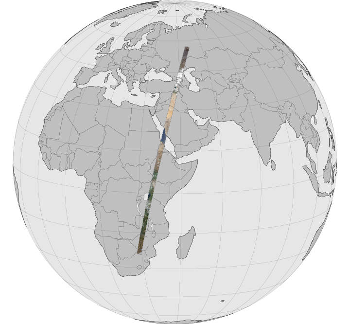
The videos and mosaic were composed from 56 individual scenes acquired by the Operational Land Imager on LDCM. Each scene is available for download below, listed from north to south in the order in which it was taken. The first scene comes from north-central Russia; the last is from South Africa.
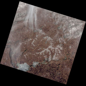
WRS 170-021 is centered at 55.9° N, 50.5° E
Download Large Tile (JPEG)
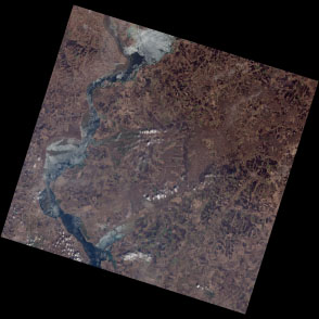
WRS 170-022 is centered at 54.5° N, 49.7° E
Download Large Tile (JPEG)
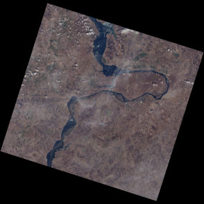
WRS 170-023 is centered at 53.1° N, 49.0° E
Download Large Tile (JPEG)
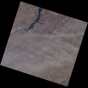
WRS 170-024 is centered at 51.7° N, 48.4° E
Download Large Tile (JPEG)
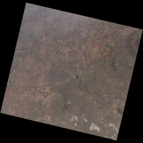
WRS 170-025 is centered at 50.3° N, 47.8° E
Download Large Tile (JPEG)
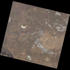
WRS 170-026 is centered at 48.9° N, 47.2° E
Download Large Tile (JPEG)
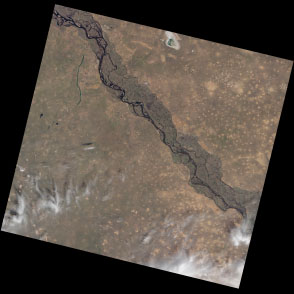
WRS 170-027 is centered at 47.5° N, 46.6° E
Download Large Tile (JPEG)
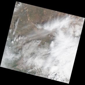
WRS 170-028 is centered at 46.0° N, 46.1° E
Download Large Tile (JPEG)
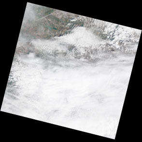
WRS 170-029 is centered at 44.6° N, 45.5° E
Download Large Tile (JPEG)
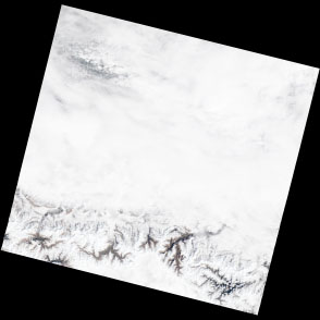
WRS 170-030 is centered at 43.2° N, 45.0° E
Download Large Tile (JPEG)
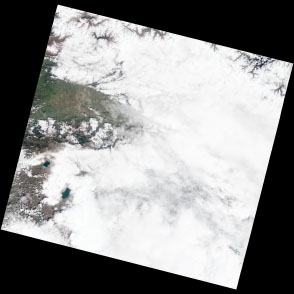
WRS 170-031 is centered at 41.8° N, 44.6° E
Download Large Tile (JPEG)
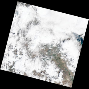
WRS 170-032 is centered at 40.3° N, 44.1° E
Download Large Tile (JPEG)
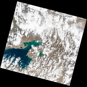
WRS 170-033 is centered at 38.9° N, 43.7° E
Download Large Tile (JPEG)
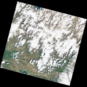
WRS 170-034 is centered at 37.5° N, 43.2° E
Download Large Tile (JPEG)
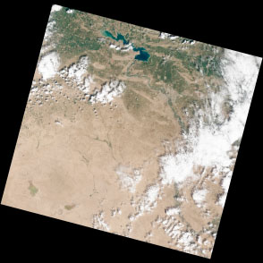
WRS 170-035 is centered at 36.1° N, 42.8° E
Download Large Tile (JPEG)
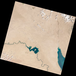
WRS 170-036 is centered at 34.6° N, 42.4° E
Download Large Tile (JPEG)
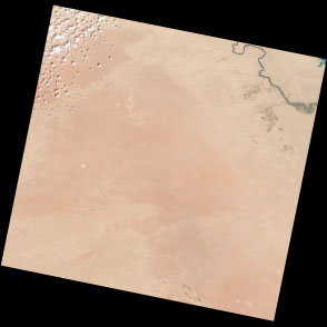
WRS 170-037 is centered at 33.2° N, 42.0° E
Download Large Tile (JPEG)
WRS 170-038 is centered at 31.8° N, 41.6° E
Download Large Tile (JPEG)
WRS 170-039 is centered at 30.3° N, 41.2° E
Download Large Tile (JPEG)
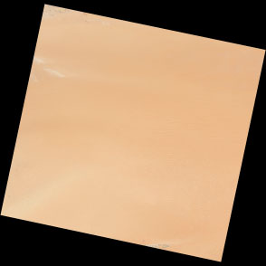
WRS 170-040 is centered at 28.9° N, 40.8° E
Download Large Tile (JPEG)
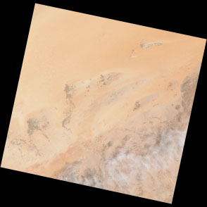
WRS 170-041 is centered at 27.4° N, 40.5° E
Download Large Tile (JPEG)
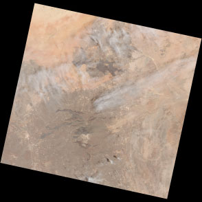
WRS 170-042 is centered at 26.0° N, 40.1° E
Download Large Tile (JPEG)
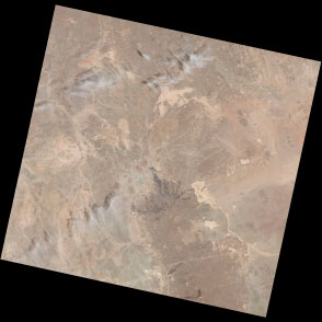
WRS 170-043 is centered at 24.6° N, 39.8° E
Download Large Tile (JPEG)
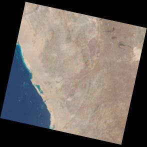
WRS 170-044 is centered at 23.1° N, 39.4° E
Download Large Tile (JPEG)
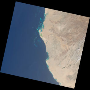
WRS 170-045 is centered at 21.7° N, 39.1° E
Download Large Tile (JPEG)
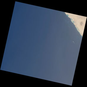
WRS 170-046 is centered at 20.2° N, 38.7° E
Download Large Tile (JPEG)
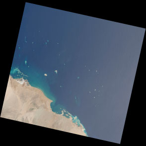
WRS 170-047 is centered at 18.8° N, 38.4° E
Download Large Tile (JPEG)
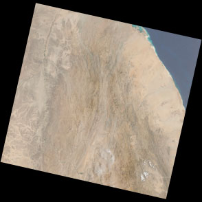
WRS 170-048 is centered at 17.4° N, 38.1° E
Download Large Tile (JPEG)
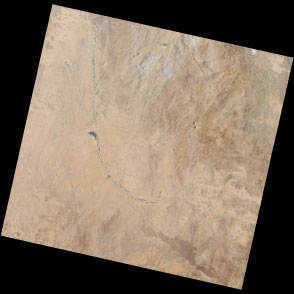
WRS 170-049 is centered at 15.9° N, 37.8° E
Download Large Tile (JPEG)
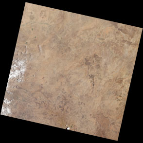
WRS 170-050 is centered at 14.5° N, 37.4° E
Download Large Tile (JPEG)
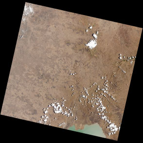
WRS 170-051 is centered at 13.0° N, 37.1° E
Download Large Tile (JPEG)
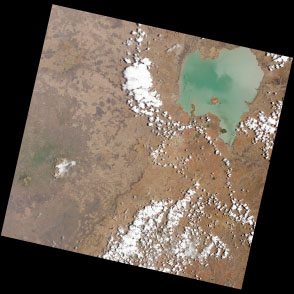
WRS 170-052 is centered at 11.6° N, 36.8° E
Download Large Tile (JPEG)
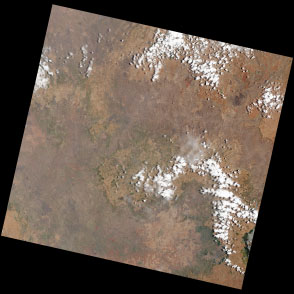
WRS 170-053 is centered at 10.1° N, 36.5° E
Download Large Tile (JPEG)
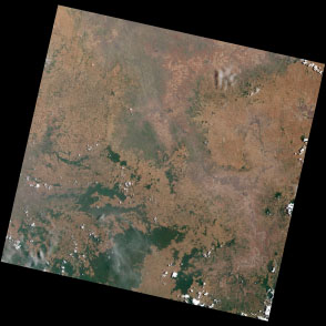
WRS 170-054 is centered at 8.7° N, 36.2° E
Download Large Tile (JPEG)
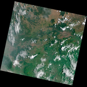
WRS 170-055 is centered at 7.2° N, 35.9° E
Download Large Tile (JPEG)
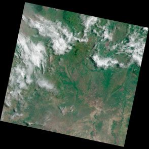
WRS 170-056 is centered at 5.8° N, 35.5° E
Download Large Tile (JPEG)
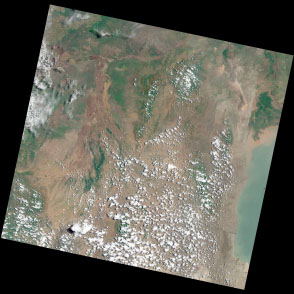
WRS 170-057 is centered at 4.4° N, 35.2° E
Download Large Tile (JPEG)
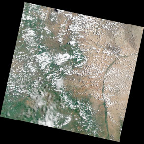
WRS 170-058 is centered at 2.9° N, 34.9° E
Download Large Tile (JPEG)
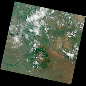
WRS 170-059 is centered at 1.5° N, 34.6° E
Download Large Tile (JPEG)
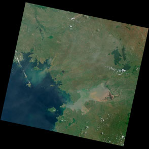
WRS 170-060 is centered at 0.0° N, 34.3° E
Download Large Tile (JPEG)
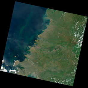
WRS 170-061 is centered at 1.4° S, 34.0° E
Download Large Tile (JPEG)
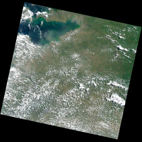
WRS 170-062 is centered at 2.9° S, 33.7° E
Download Large Tile (JPEG)
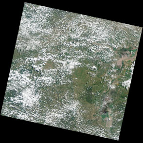
WRS 170-063 is centered at 4.3° S, 33.4° E
Download Large Tile (JPEG)
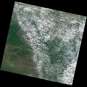
WRS 170-064 is centered at 5.8° S, 33.1° E
Download Large Tile (JPEG)
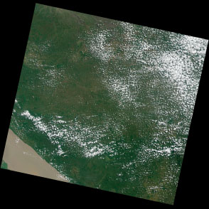
WRS 170-065 is centered at 7.2° S, 32.8° E
Download Large Tile (JPEG)
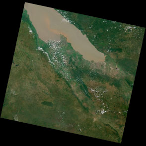
WRS 170-066 is centered at 8.7° S, 32.5° E
Download Large Tile (JPEG)
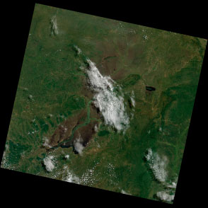
WRS 170-067 is centered at 10.1° S, 32.2° E
Download Large Tile (JPEG)
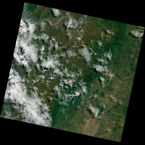
WRS 170-068 is centered at 11.5° S, 31.8° E
Download Large Tile (JPEG)
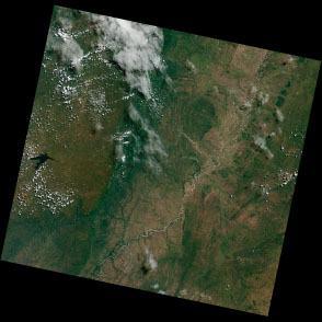
WRS 170-069 is centered at 13.0° S, 31.5° E
Download Large Tile (JPEG)
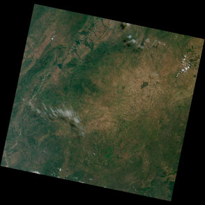
WRS 170-070 is centered at 14.4° S, 31.2° E
Download Large Tile (JPEG)
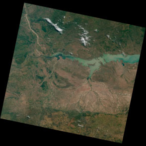
WRS 170-071 is centered at 15.9° S, 30.9° E
Download Large Tile (JPEG)
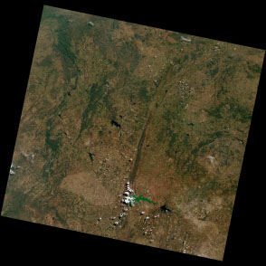
WRS 170-072 is centered at 17.3° S, 30.6° E
Download Large Tile (JPEG)
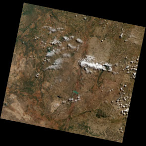
WRS 170-073 is centered at 18.8° S, 30.2° E
Download Large Tile (JPEG)
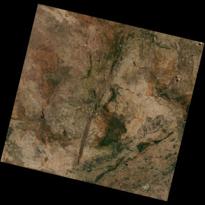
WRS 170-074 is centered at 20.2° S, 29.9° E
Download Large Tile (JPEG)
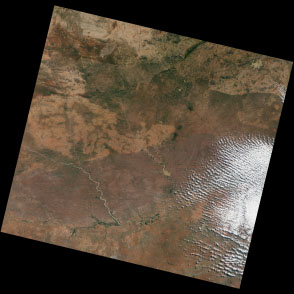
WRS 170-075 is centered at 21.6° S, 29.6° E
Download Large Tile (JPEG)
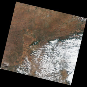
WRS 170-076 is centered at 23.1° S, 29.2° E
Download Large Tile (JPEG)