Images related to Ultraviolet Radiation Exposure

New Map Shows Risk of Sunburn Across the U.S.
Image

New Map Shows Risk of Sunburn Across the U.S.

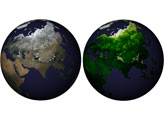
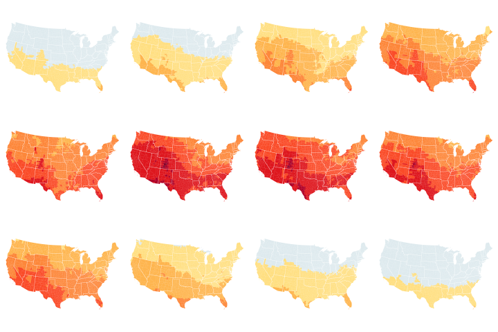
The Centers for Disease Control and Prevention is using NASA data to help the public better understand their UV exposure.

Published Aug 7, 2019

Image of the Day Atmosphere Land Remote Sensing

Probing the Electric Space Around Earth
Image

Probing the Electric Space Around Earth

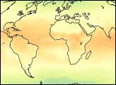
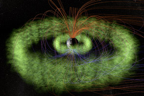
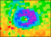
NASA’s Radiation Belt Storm Probes will give an inside view of the vast Van Allen radiation belts.

Published Aug 31, 2012

Image of the Day Atmosphere Remote Sensing

Remembering UARS
Image

Remembering UARS

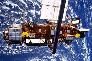
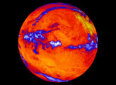
Twenty years ago this month, astronauts on the space shuttle Discovery used the spacecraft's robotic arm to launch the Upper Atmosphere Research Satellite into orbit around the Earth.

Published Sep 24, 2011

Image of the Day Atmosphere Remote Sensing

Extending the Ozone Monitoring Record
Image

Extending the Ozone Monitoring Record

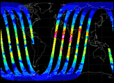
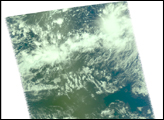
The OMPS instrument on the new Suomi-NPP satellite takes its first measurements.

Published Feb 25, 2012

Image of the Day Atmosphere

Hurricanes and Ozone
Image

Hurricanes and Ozone

Published Jun 11, 2005

Image of the Day Atmosphere

Hurricane Darby
Image

Hurricane Darby

Published Jul 29, 2004

Severe Storms