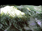
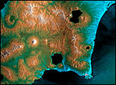
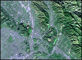
Image of the Day Land
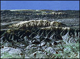
Image of the Day
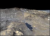
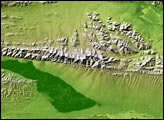
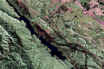
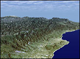
Where the Pacific plate and North American plate meet, the intense pressure of the collision creates an 800-mile-long fracture zone.
Image of the Day Land Human Presence Remote Sensing