The satellite-based atlas includes information about more than 13 million fires.
Published Aug 8, 2019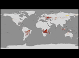
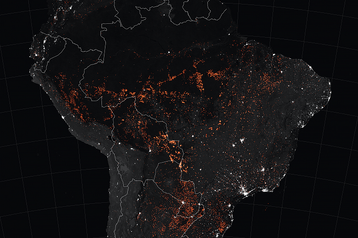
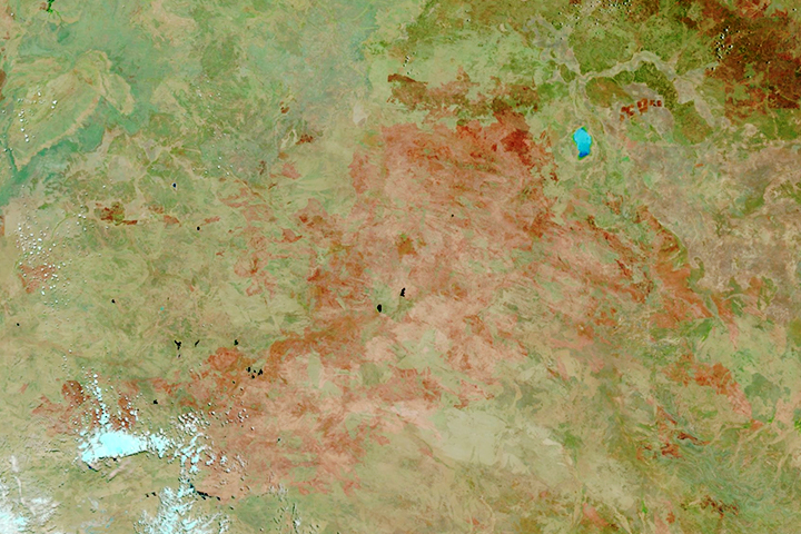
Satellites have detected an increase in fire activity early in the 2019 dry season in the southern Amazon.
Published Aug 23, 2019Image of the Day Atmosphere Heat Land Fires Human Presence Remote Sensing
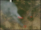

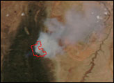
The blaze is the largest in Arizona this year and the largest in the United States right now.
Published Jun 16, 2020Image of the Day Heat Land Fires Human Presence Remote Sensing
Fire is ubiquitous, both a tool and a destructive force. Like plants, fire grows and wanes in seasons.
Published Dec 31, 2008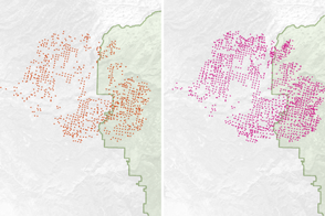
Scientists have found a way to detect nighttime fires even sooner, when they are still relatively small.
Published Apr 7, 2017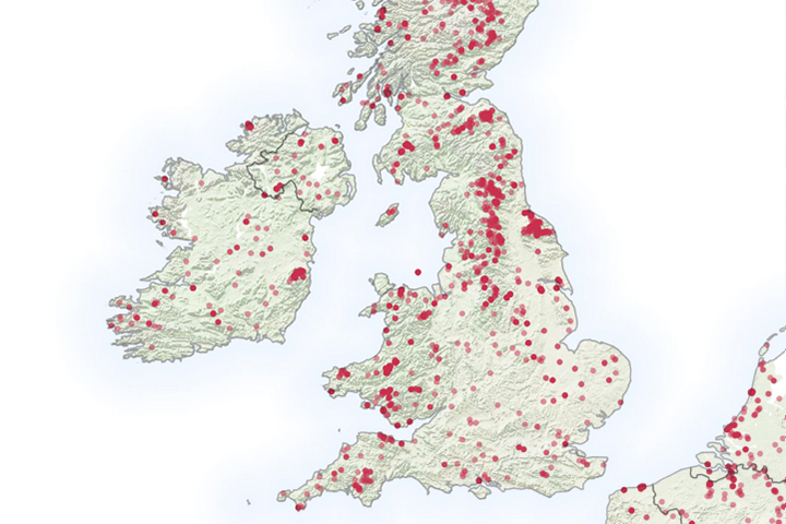
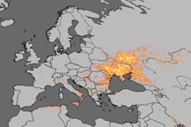
It is not even summertime, but already the United Kingdom has seen a significant number of wildfires.
Published May 6, 2019
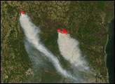
The fast-moving King fire burned in Eldorado National Forest in September 2014.
Published Sep 18, 2014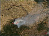

Temperature, humidity, and winds contributed to the rapid spread of fire in Lake County, about 100 miles northwest of Sacramento.
Published Jun 27, 2018
A wildfire burning in Los Padres National Park charred more than 500 acres—including the home of Big Sur’s fire chief.
Published Dec 17, 2013